Description
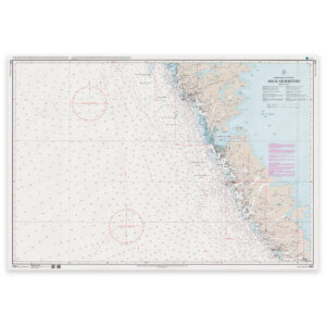
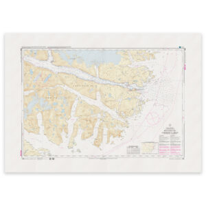
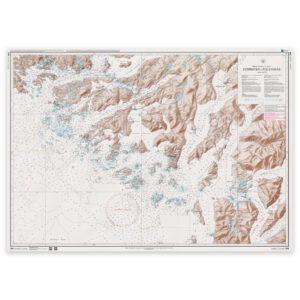
Egedesminde – Godhavn. Chart 1511 from the Danish Geodata Agency (Geodatastyrelsen) covers this area at a scale of 1:80,000.
Chartwork for these waters. Chart 1511 provides a reference for working with routes through the area described above. The 1:80,000 scale indicates the level of detail; any inset plans may use a different scale.
Reference system. The chart is identified as using Qornoq 1927 as its reference system.
Printed to order. Each copy is printed to order using Print-on-Demand (POD) on matt 125 gsm chart paper. We use the latest available chart file at the time of printing. Chart corrections may be issued after printing and should be applied to the chart used on board.