


Description
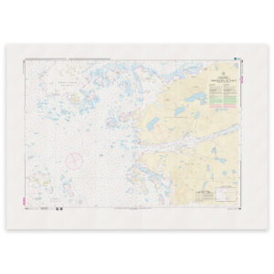
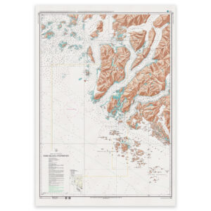
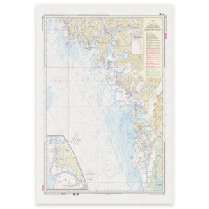
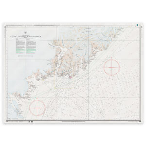
Kap Poul Løvenørn – Kap Gustav Holm. Chart 2300 from the Danish Geodata Agency (Geodatastyrelsen) covers this area at a scale of 1:400,000.
Overview and planning. The scale provides a broad view of a larger sea area. Use larger-scale charts for the relevant part of your route when approaching land or navigating close to the coast.
Printed to order. Each copy is printed to order using Print-on-Demand (POD) on matt 125 gsm chart paper. We use the latest available chart file at the time of printing. Chart corrections may be issued after printing and should be applied to the chart used on board.