Description
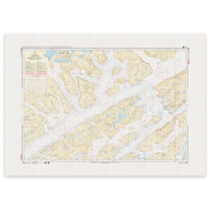
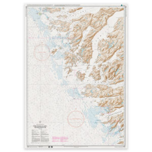
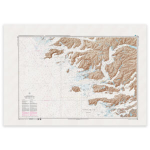
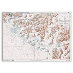
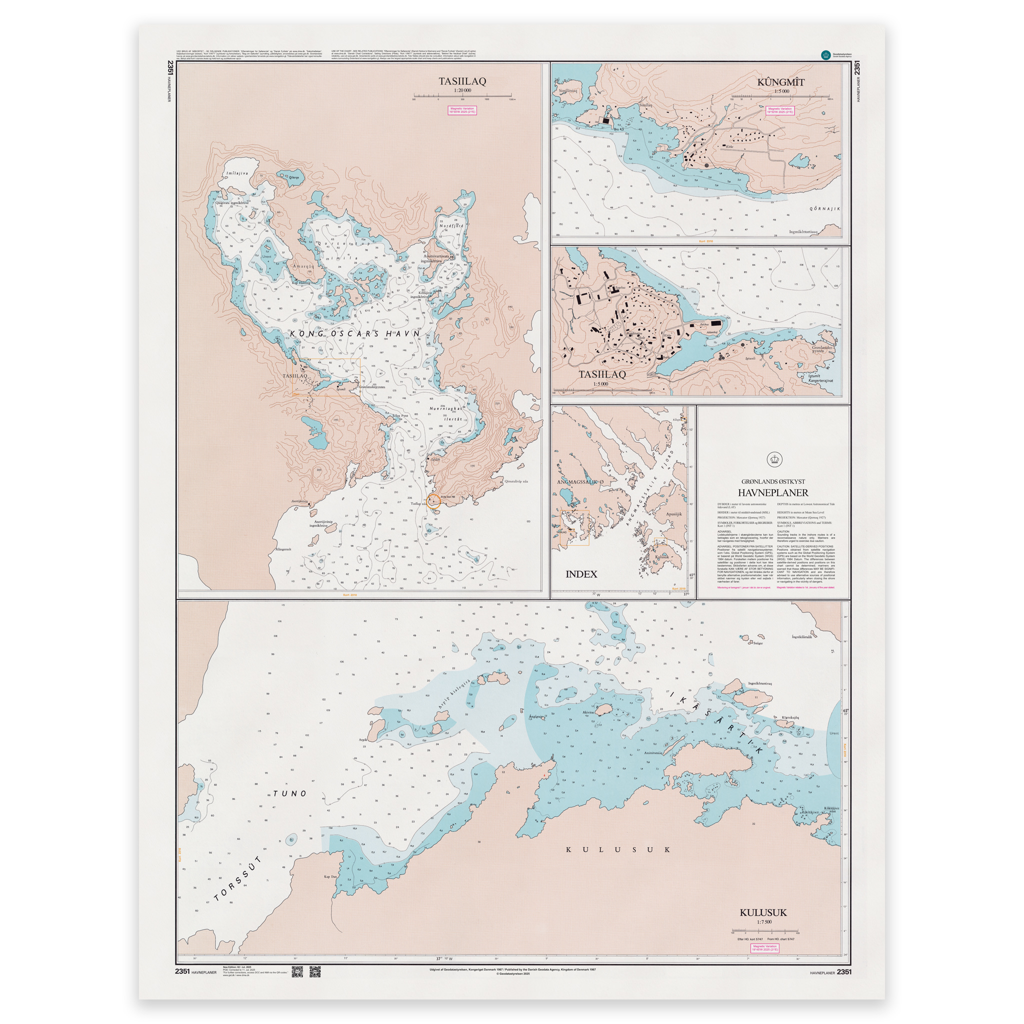
Map 2351 covers Tasiilaq and surrounding waters on the east coast of Greenland and shows harbors, approaches, anchorages and narrow channels in great detail. The map is published at a scale of 1:20,000 and is based on datum Qornoq 1927. This is a large-scale special map suitable for navigation in demanding waters and areas requiring precise maneuvering.
The map is printed as Print-on-Demand when ordered and is updated to the latest available Notices to Mariners at the time of production. Printed on durable matte paper approved by Geodatastyrelsen and delivered as an official paper edition.