Description
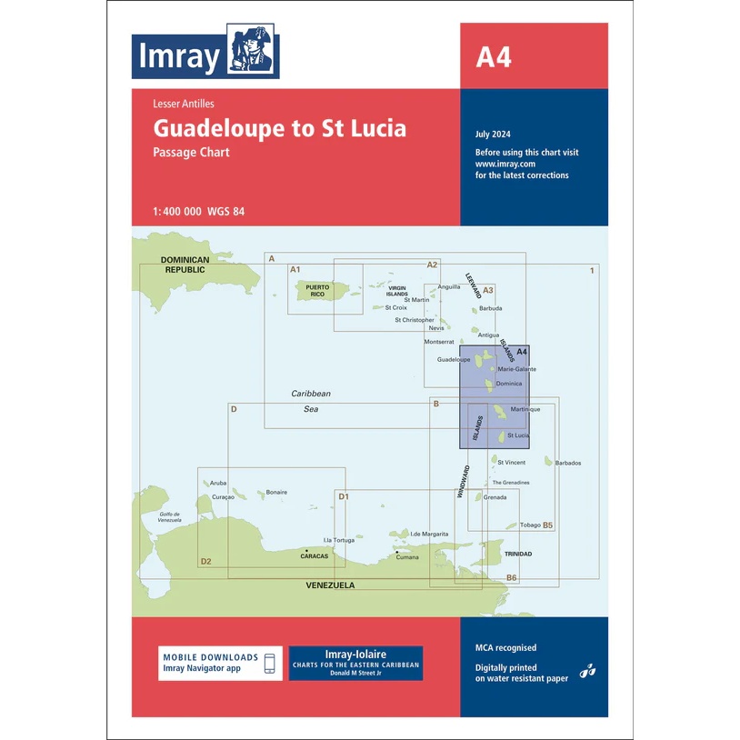
Imray A4 – Guadeloupe to St Lucia is a passage chart covering the sailing area in the Lesser Antilles between Guadeloupe and St Lucia. The chart is designed for safe planning of longer passages and provides a good overview of archipelagos, main routes and surrounding waters in the eastern Caribbean.
The map includes overview charts of the entire region, with clearly marked adjacent Imray charts, so you can easily plan your next voyage north or south of the island chain. It is an ideal complement to more detailed coastal and harbor charts for the area.
Like all Imray maps, this one is printed on water-resistant paper, updated to WGS 84 datum, and MCA recognized for navigational use. The map is also supported by the Imray Navigator app, where digital updates are available.
A solid and professional choice for long-distance and offshore sailing in the Caribbean.