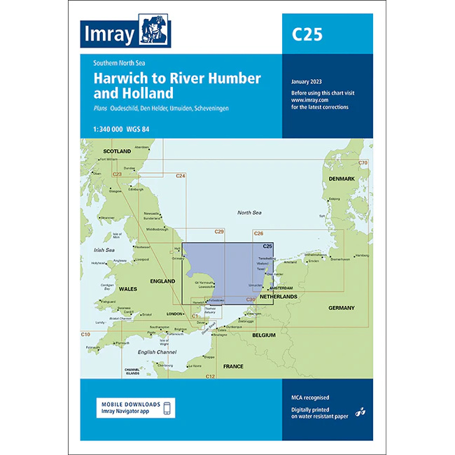
Description
This boating map covers the southern North Sea from Harwich on the east coast of England to the River Humber, as well as coastal stretches and approaches along the Netherlands. The map includes detailed plans and overviews of key ports and areas such as Harwich, Felixstowe, River Humber, Den Helder, IJmuiden and Scheveningen.
The chart is well suited for leisure boats and sailboats traveling in the southern part of the North Sea, either as part of coastal sailing or when planning crossings between England and the Netherlands. The area is characterized by dense commercial shipping, strong tidal currents, sandbanks and traffic separation zones, and the chart provides a solid foundation for safe navigation and precise route planning.
Imray is a recognized British chart manufacturer with extensive experience in nautical cartography for leisure and long-distance sailing. Their charts are developed with a focus on high readability, practical use and clear presentation of navigation-relevant information.