Description
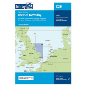
This boating map covers the east coast of England from Harwich in the south to Whitby in the north. The map includes detailed plans and approaches to key ports and harbors such as Harwich, Felixstowe, Lowestoft, Great Yarmouth, Wells-next-the-Sea, Scarborough, Filey, Bridlington, as well as the Humber Estuary with Hull, Grimsby and associated port areas.
The chart is well suited for leisure boats and sailboats traveling along England’s east coast or planning longer legs in the North Sea. Characterized by long stretches of open coastline, shallow waters in places, significant commercial traffic and weather conditions, the chart provides a solid basis for route planning and safe navigation.
Imray is a recognized British chart manufacturer with extensive experience in nautical cartography for leisure and long-distance sailing. Their charts are developed with a focus on high readability, practical use and clear presentation of navigation-relevant information.