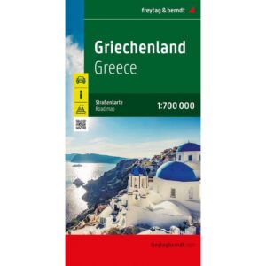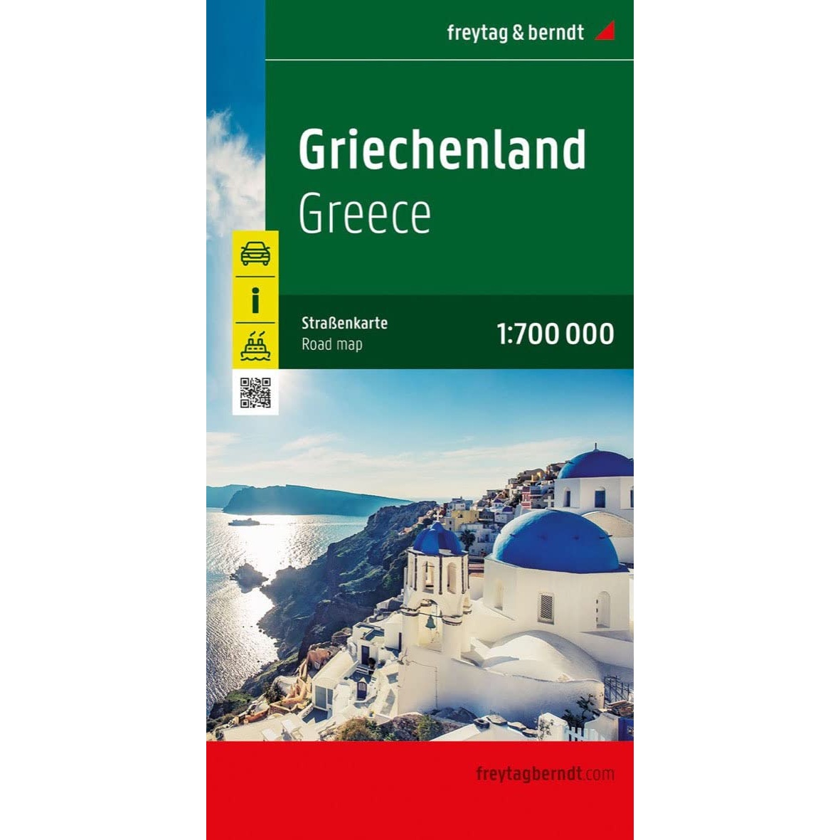
Description
This is a classic and well-designed road map of Greece from freytag & berndt, adapted for both planning and use during your trip. The map has a clear and easy-to-read presentation of main roads, secondary roads and connections, combined with tourist information that makes it particularly suitable for road trips and round trips.
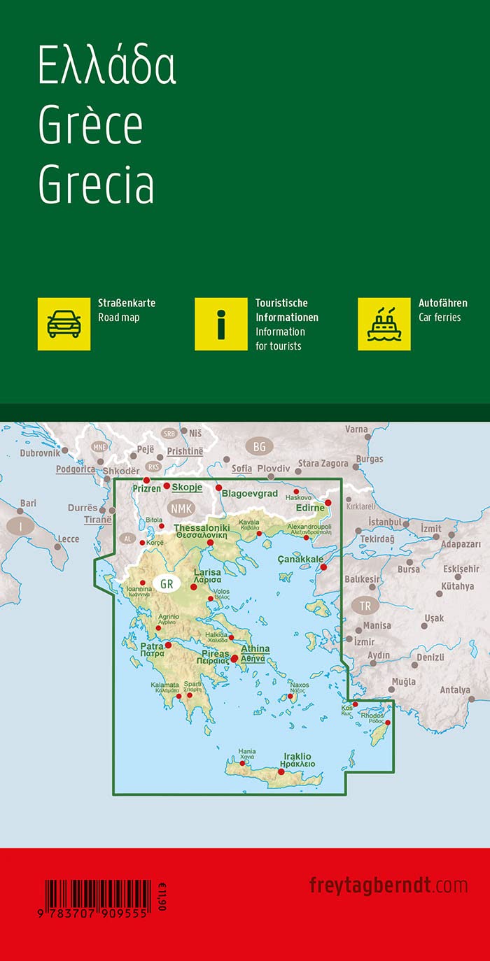
The map includes a comprehensive place index with postcodes for quick and precise orientation, as well as clearly marked ferry routes linking the mainland to the islands. In addition, important sights, campsites and tourist-related points are marked with intuitive symbols, so the map also serves as a practical supplement to the travel guide.
The thoughtful cartography and sturdy paper quality make the map suitable for repeated use, both in the car and when planning at home. This is a reliable travel map for anyone wanting a good overview of Greece, whether you’re traveling to big cities, coastal areas or more rural regions.
The map is in German, but can easily be used by travelers with no knowledge of German. Road maps are mainly based on symbols, road numbers and place names and provide quick and intuitive orientation regardless of language.
The map was published in 2015 by freytag & berndt.