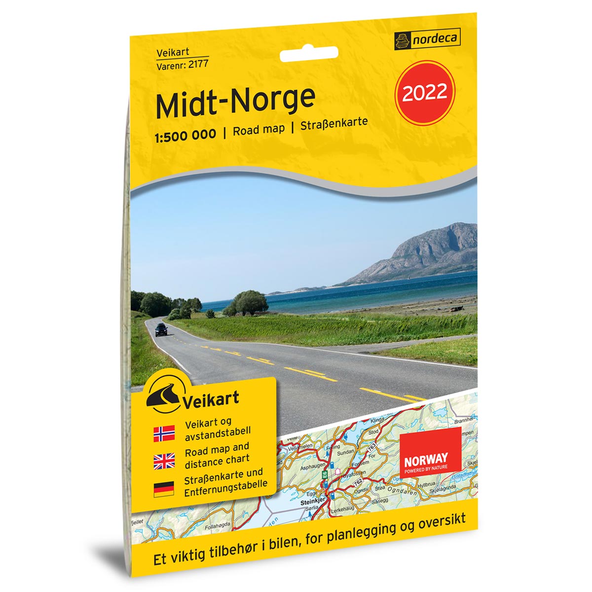
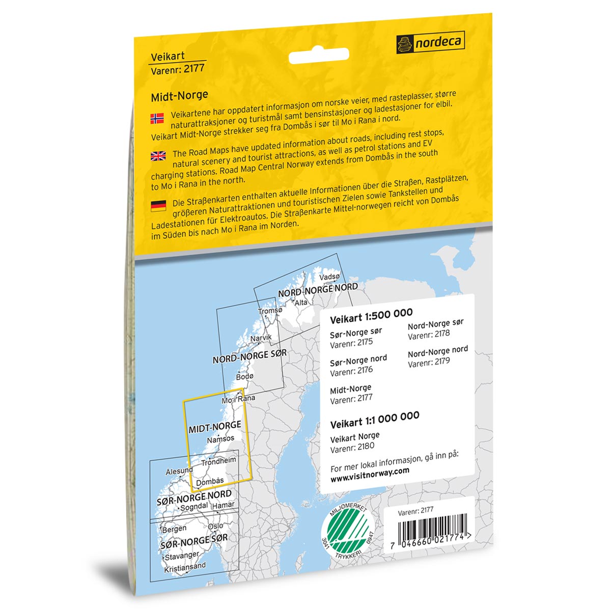
Description
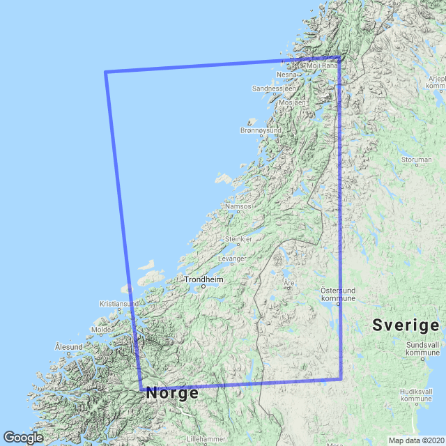
Road Map Central Norway is a paper map at scale 1:500,000 (1 cm = 5 km) covering central Norway from Dombås in the south to Mo i Rana in the north, including regions such as Røros, Trondheim, Stjørdal, Namsos, Brønnøysund, Mosjøen and Sandnessjøen. The map provides a clear and practical overview of the road network, with distance table, diagrams for ferry connections, petrol stations, electric vehicle charging stations and selected natural and cultural attractions along the way.
The map was published in 2017. Although some roads, facilities and details related to destinations may have changed since publication, this road map still provides a good overview of the area and is well suited as inspiration and travel aid for your road trip – whether you plan the trip in advance or use it while driving.
The map covers places such as Røros, Trondheim, Stjørdal, Namsos, Brønnøysund, Mosjøen, Sandnessjøen and Mo i Rana.