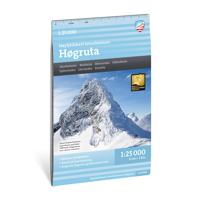

Description
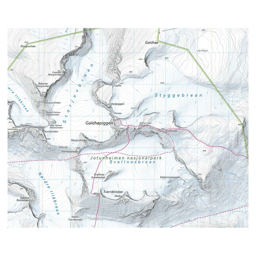
This mountain map covers Høgruta in Jotunheimen – a continuous alpine ski tour through central parts of the mountain area. The route usually runs over five day stages from Bessheim or Gjendesheim via Memurubu, Glitterheim, Spiterstulen and Leirvassbu to Krossbu.
The map shows mountain passes, peaks and key route options in the area, including the original Høgruta from 2014 and several common variants. The detailed presentation provides a good basis for planning and carrying out alpine ski tours and summit tours in the high mountains.
The map is at a scale of 1:25,000, which provides a very high level of detail. At this scale, 4 cm on the map corresponds to 1 km in the terrain, making the map particularly suitable for precise navigation in demanding mountainous terrain.
The map is printed on durable and water-repellent material that can withstand active use in winter and high mountain environments.
Calazo Förlag is a Swedish publishing house specializing in maps and books for outdoor life in the Nordic region.
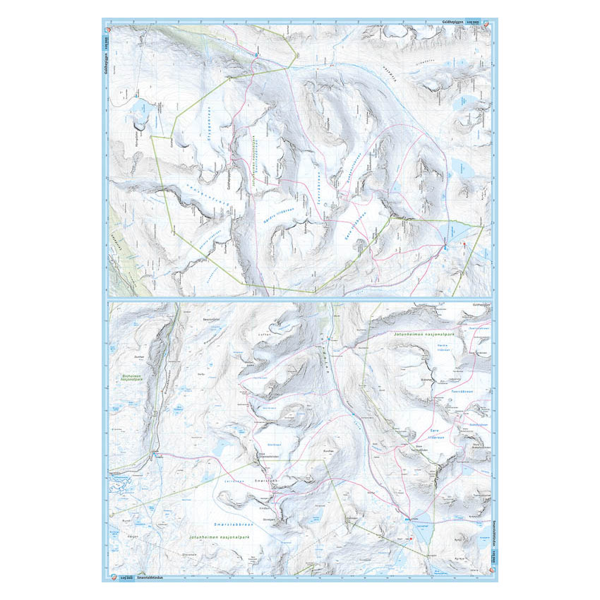
Here you can see the area the map covers:
The map is released in 2023.