
Description
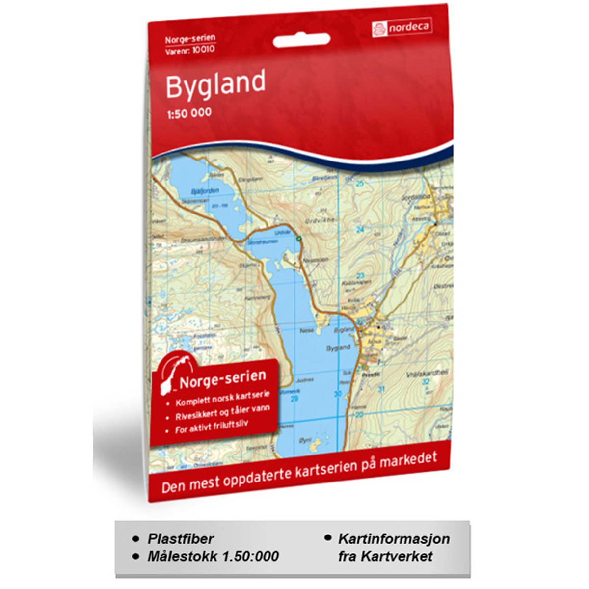
This map covers the Bygland area and is part of the Norge-serien – the iconic red hiking maps that have been used by generations of hikers across the country. The Norge-serien is the only hiking map series covering the whole of Norway, from Lindesnes to the North Cape.
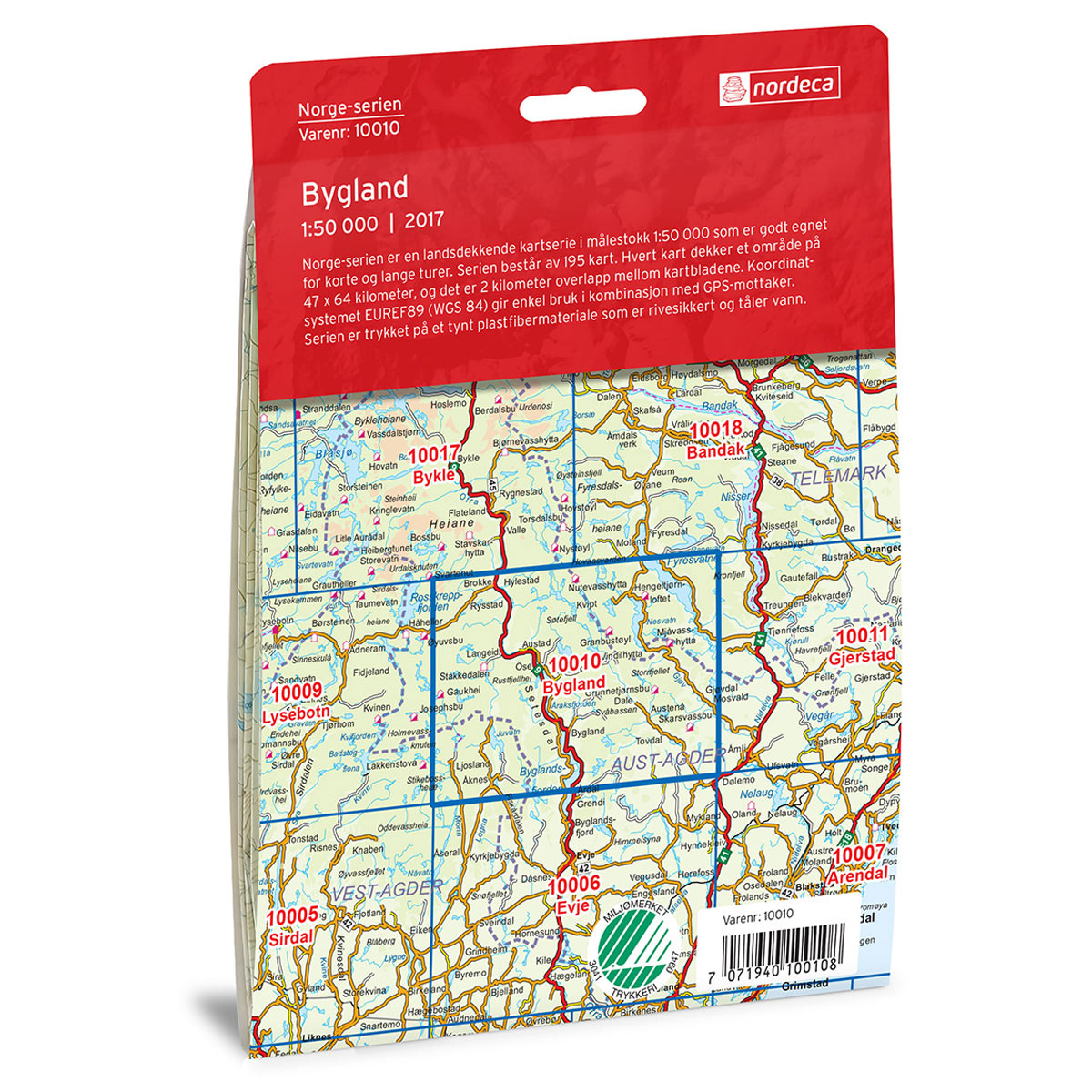
The maps are systematically divided into continuous sheets, where each map overlaps by approximately 2 km with adjacent maps. This ensures excellent continuity when using maps together, whether rotating the map or moving into the next area.
The map is printed at a scale of 1:50,000 on water-resistant and durable map paper. The material is lightweight, tear-resistant, and withstands moisture and rain, making it well-suited for outdoor use in all weather conditions.
The Norge-serien is printed double-sided and features a slightly larger map format than previous series. This provides approximately four times the map area compared to the old M711 maps, while remaining easy to fold and carry on your trip.
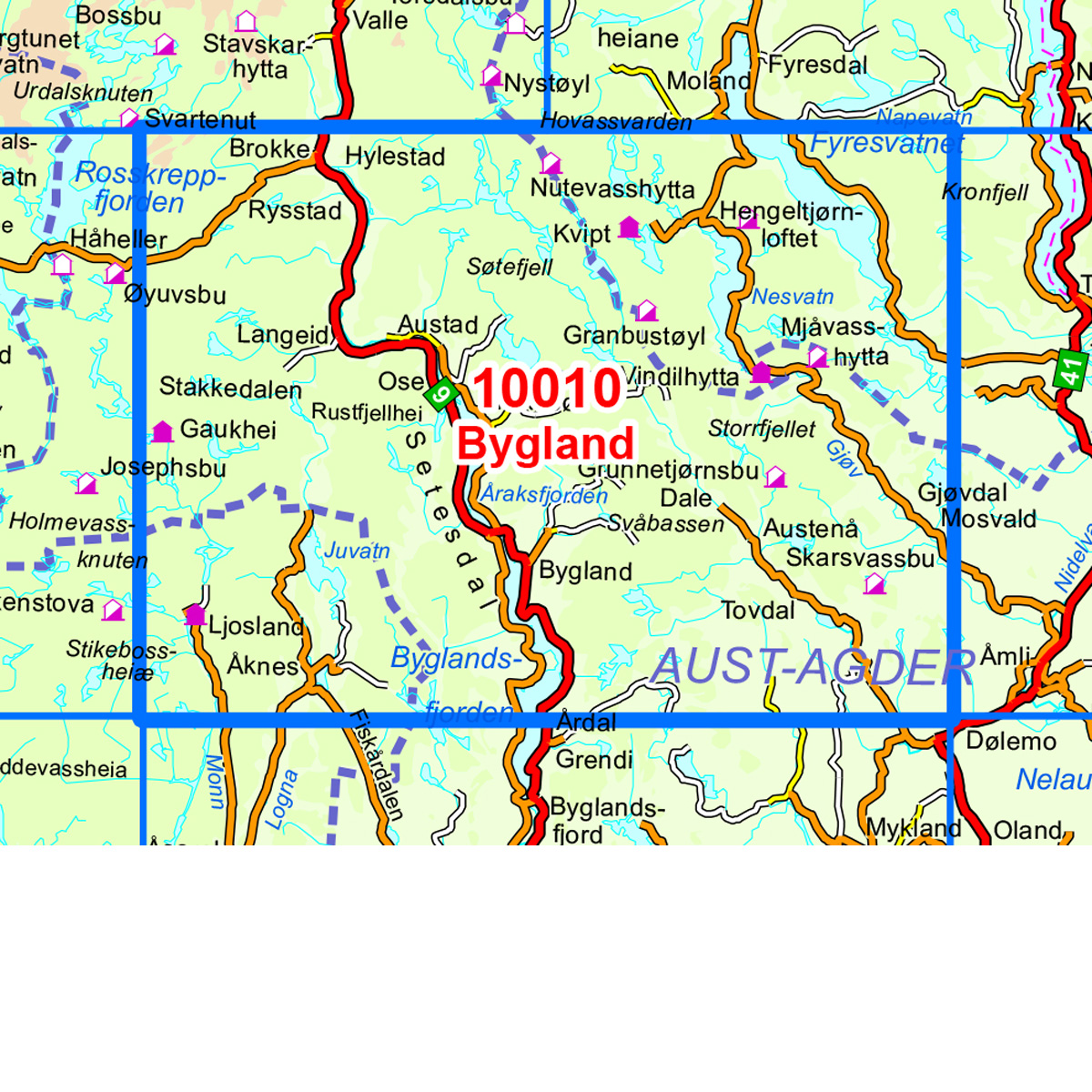
The map covers locations such as Bygland, Fyresvatnet, Juvatn, Monn, Nesvatn, Otra, Rustfjellhei, Setesdal, Tovdal, and Åraksfjorden.