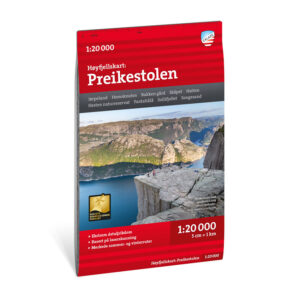
Description
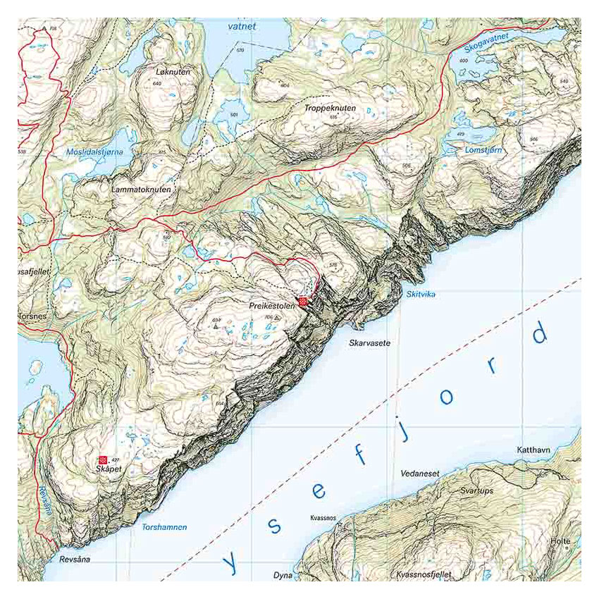
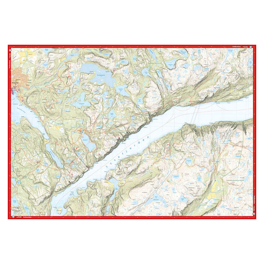
This high-mountain map covers the area around Preikestolen and Lysefjorden. The map provides a detailed representation of terrain, trails, water and elevation changes, and provides a good basis for planning and carrying out hikes in the area.
The map is suitable for both the classic hike to Preikestolen and for hikes further into more hilly and varied mountain terrain. It can also be used by those who want to leave the marked trails and plan their own routes in the area.
The map is at a scale of 1:20,000, which provides a very high level of detail. At this scale, 5 cm on the map corresponds to 1 km in the terrain, making the map particularly suitable for precise navigation in steep and detailed terrain.
The map is printed on durable and water-repellent material that can withstand active use in harsh weather conditions.
Calazo Förlag is a Swedish publishing house specializing in maps and books for outdoor life in the Nordic region.
The map is released in 2022.