Description
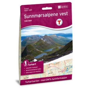
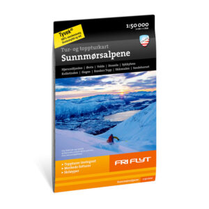
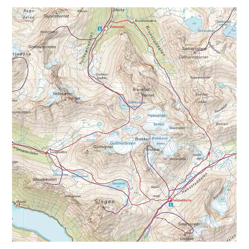
Hiking and summit maps: Sunnmørsalpene covers the alpine mountain area of Sunnmøre, with steep peaks, deep fjords and pronounced ridge formations. The map provides an overview of both classic summit hikes and more accessible mountain hikes in the area, and is adapted for use throughout the year.
The map contains marked routes from the guidebook Toppturar i Sunnmørsalpane / Ski Touring in the Sunnmøre Alps by Stig J. Helset and Håvard Myklebust. This makes it well suited as a supplement to the book and as a planning tool for both skiing and hiking. The marked peaks include Slogen, Randers Topp and Kolåstinden, as well as more accessible destinations such as Levandehornet, Melshornet, Sandhornet and Blæja. The map shows elevation contours, terrain shapes, water and key routes in the area in a clear and concise way.
The map is at a scale of 1:50,000, which is the most common scale for longer mountain hikes. At this scale, 2 cm on the map corresponds to 1 km in the terrain. The terrain information is based on detailed elevation data and provides a precise representation of the alpine landscape.
The map is printed on Tyvek®, a lightweight and durable material that is water-repellent and well suited for use in demanding weather conditions.
Calazo Förlag is a Swedish publishing house specializing in maps and books for outdoor life in the Nordic region.
The year of publication for this map is not stated.