
Description
The landscape and the journey
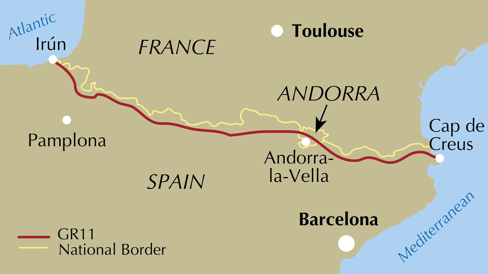
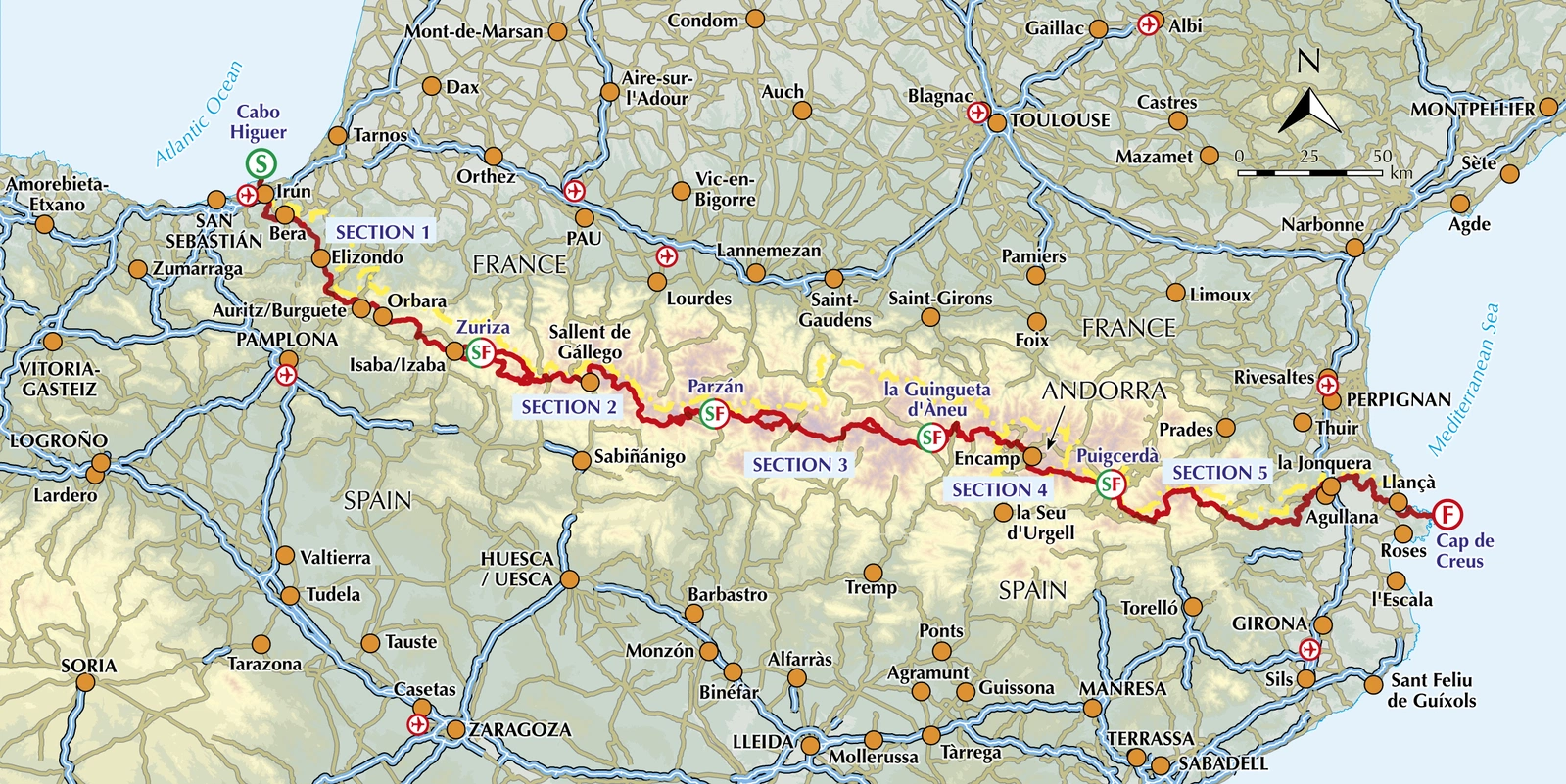
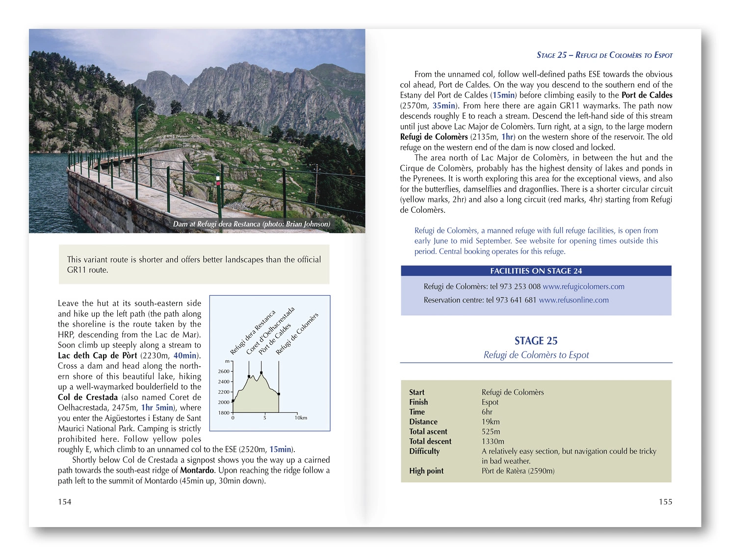
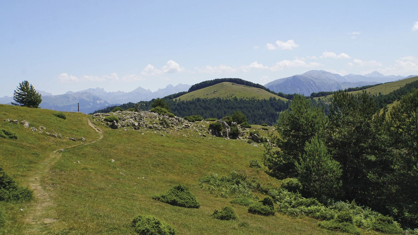
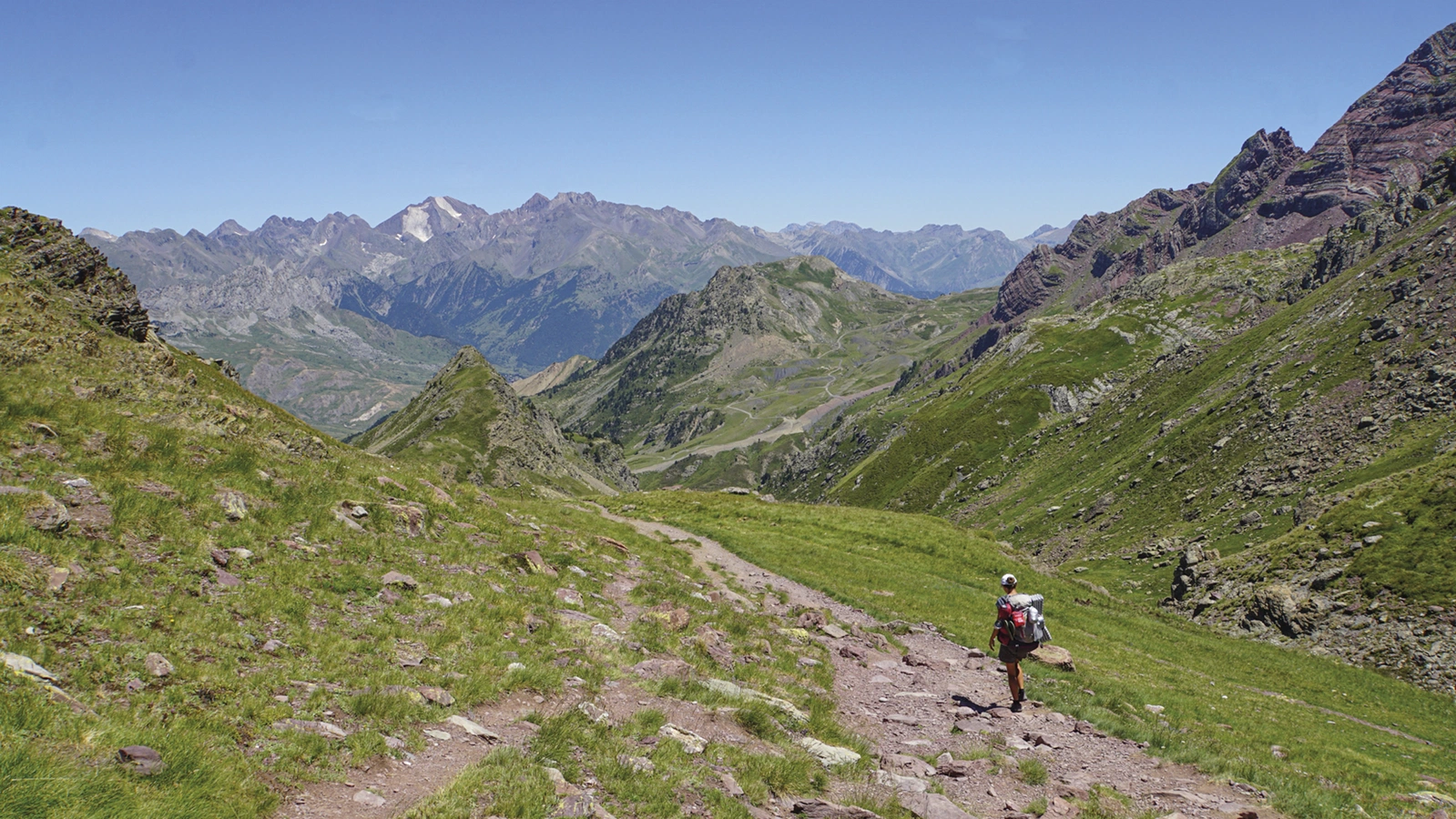
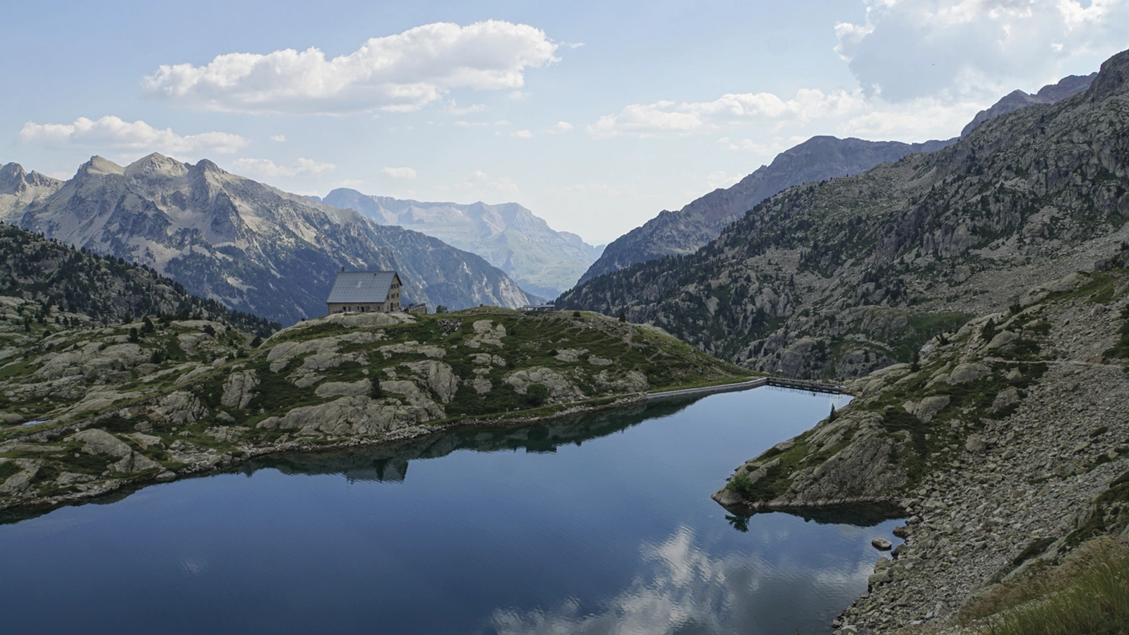
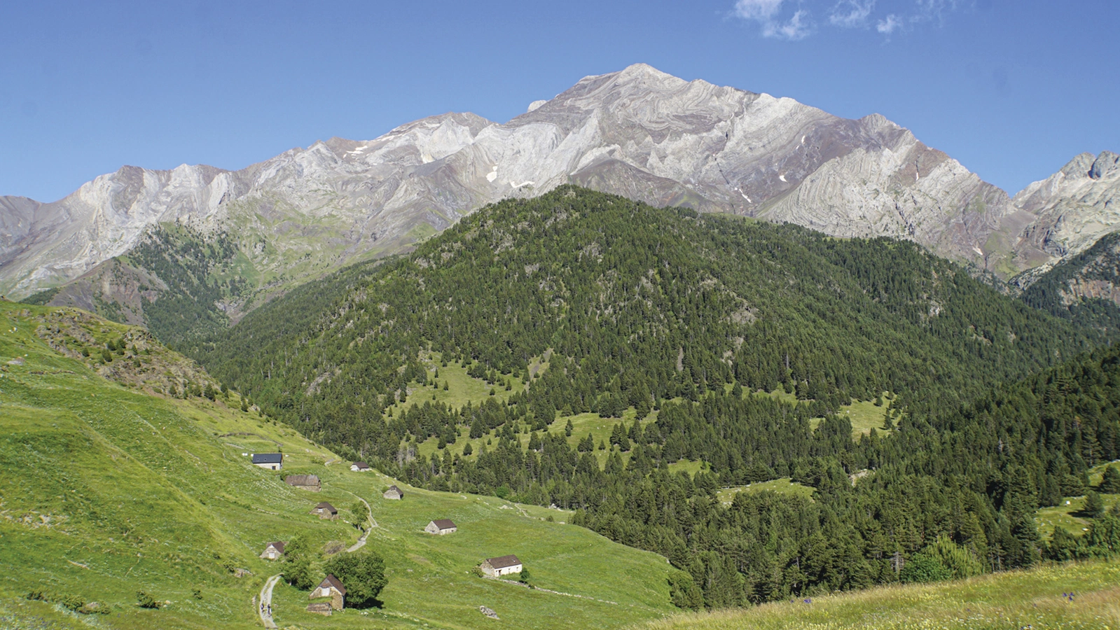
Tom Martens follows GR11, La Senda Pirenaica, from Irún on the Atlantic to Cap de Creus on the Mediterranean. Mountain passes, valleys and villages shape a changing journey predominantly on the Spanish side.
Routes and itinerary options
The approximately 850 kilometres have 47 stages of around 7–31 kilometres, grouped into four main sections for shorter trips. Areas include Navarre, Valles Occidentales, Ordesa y Monte Perdido and Posets-Maladeta, helping you choose suitable starting and finishing points.
Maps and practical planning
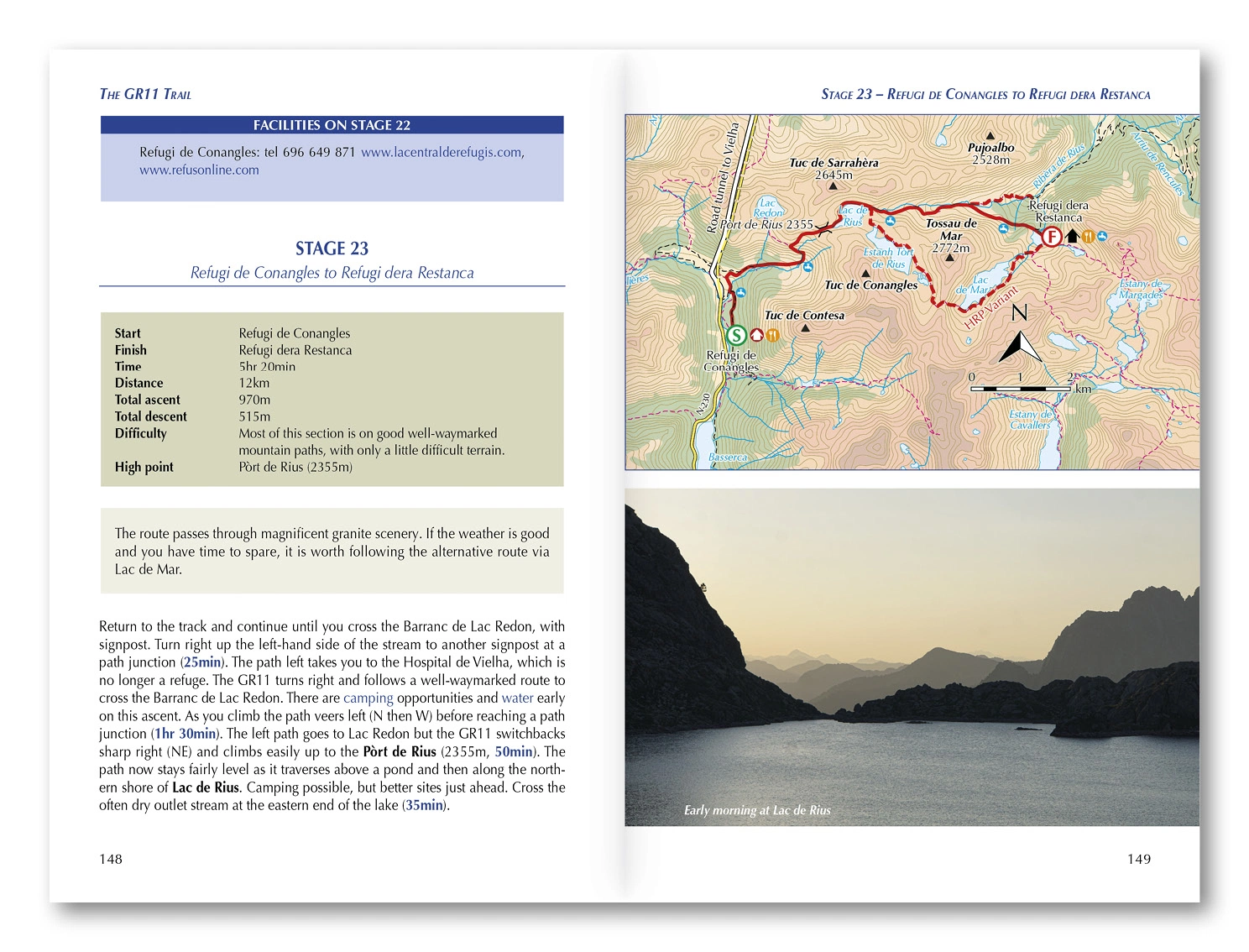
1:100,000 maps, summary tables, a facilities planner and Cicerone GPX files support accommodation and resupply in villages and mountain huts. Terrain, conditions and natural background complement logistics. Use the route information to compare stages, plan your stops and check practical arrangements before departure.
Choosing the right trip
This is a demanding long-distance mountain route requiring fitness, navigation and high-mountain experience. Snow, weather, altitude and remoteness call for flexibility even on shorter sections. Choose an itinerary that fits your experience and available time, allowing flexibility for weather and local conditions.
About this edition
English-language guidebook by Tom Martens. Seventh edition, published in 2024. 272 pages. ISBN 9781786311665.