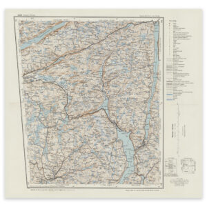
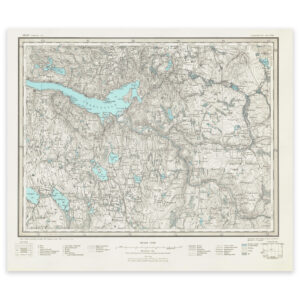
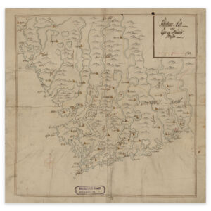

 Historical nautical chart of the stretch Kristiansand to Egersund
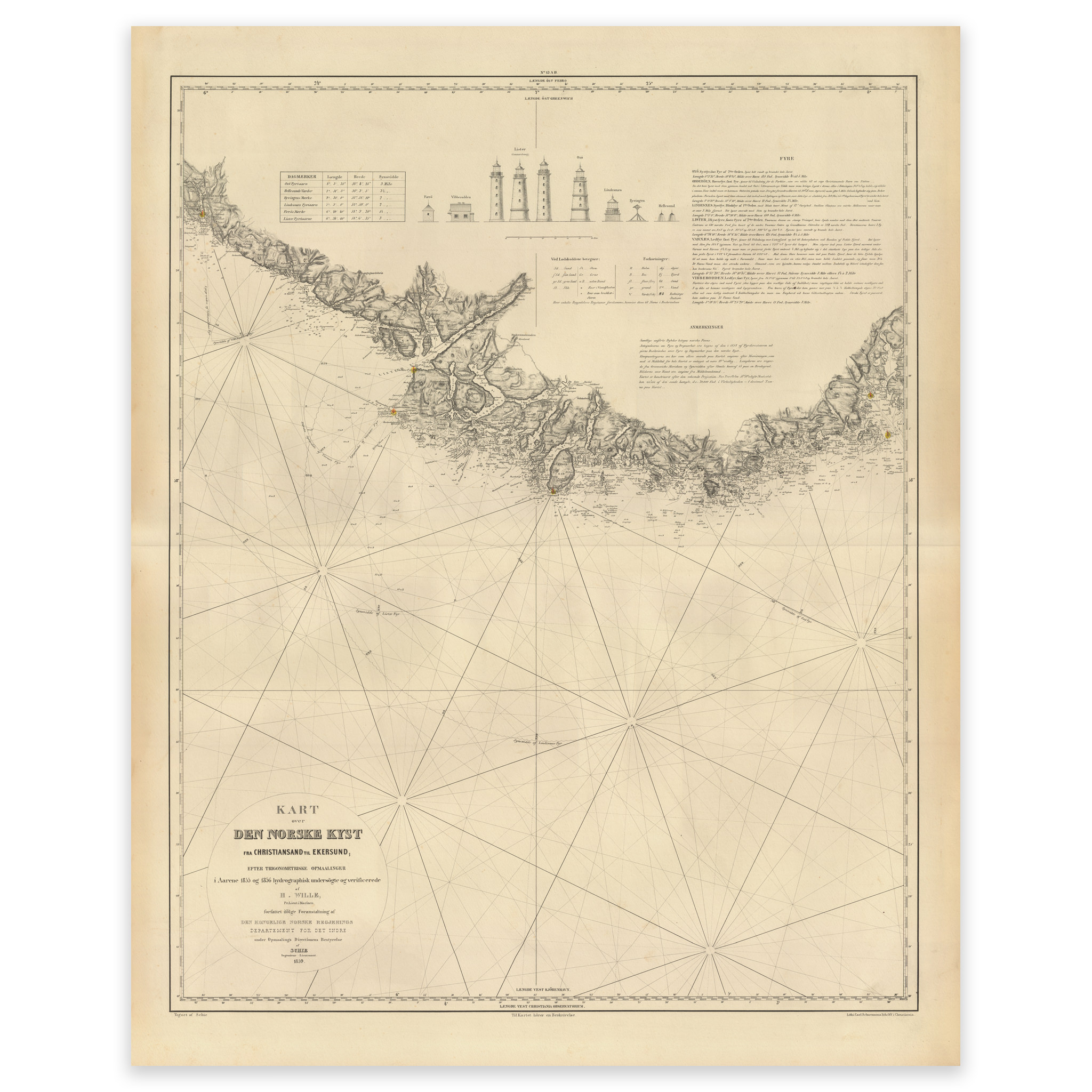
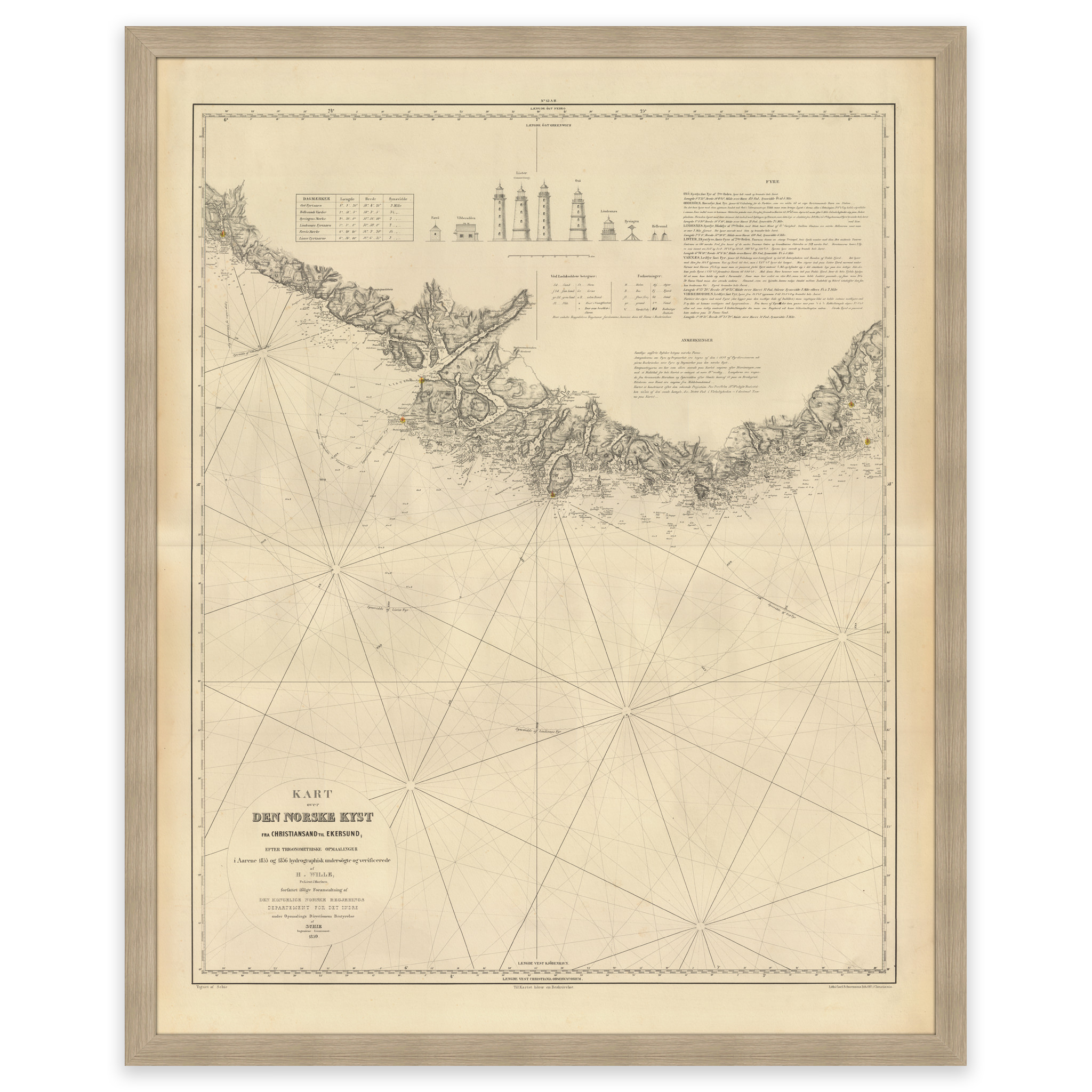


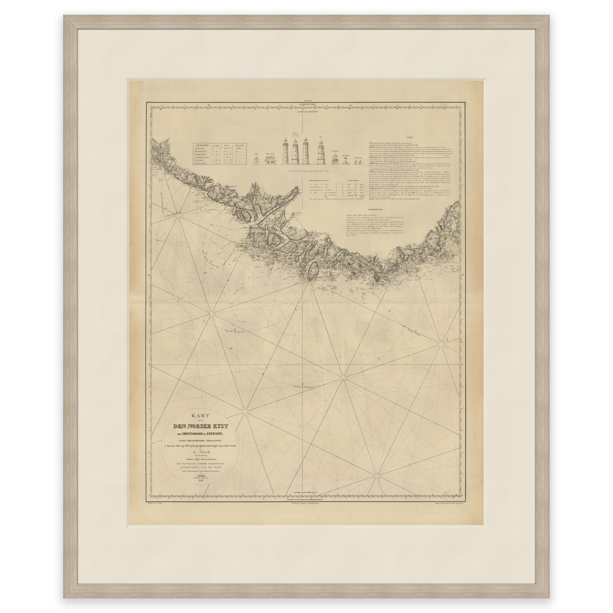

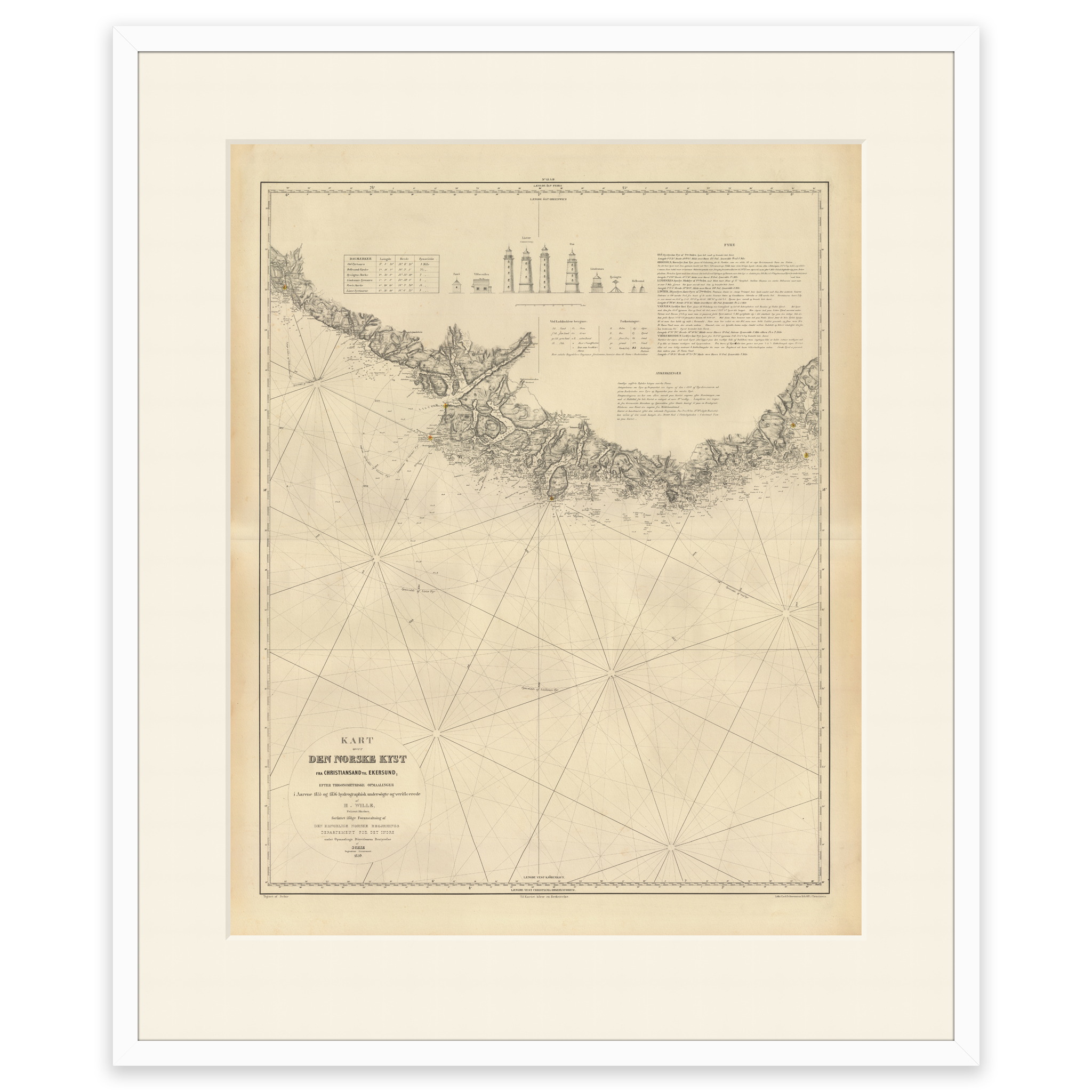
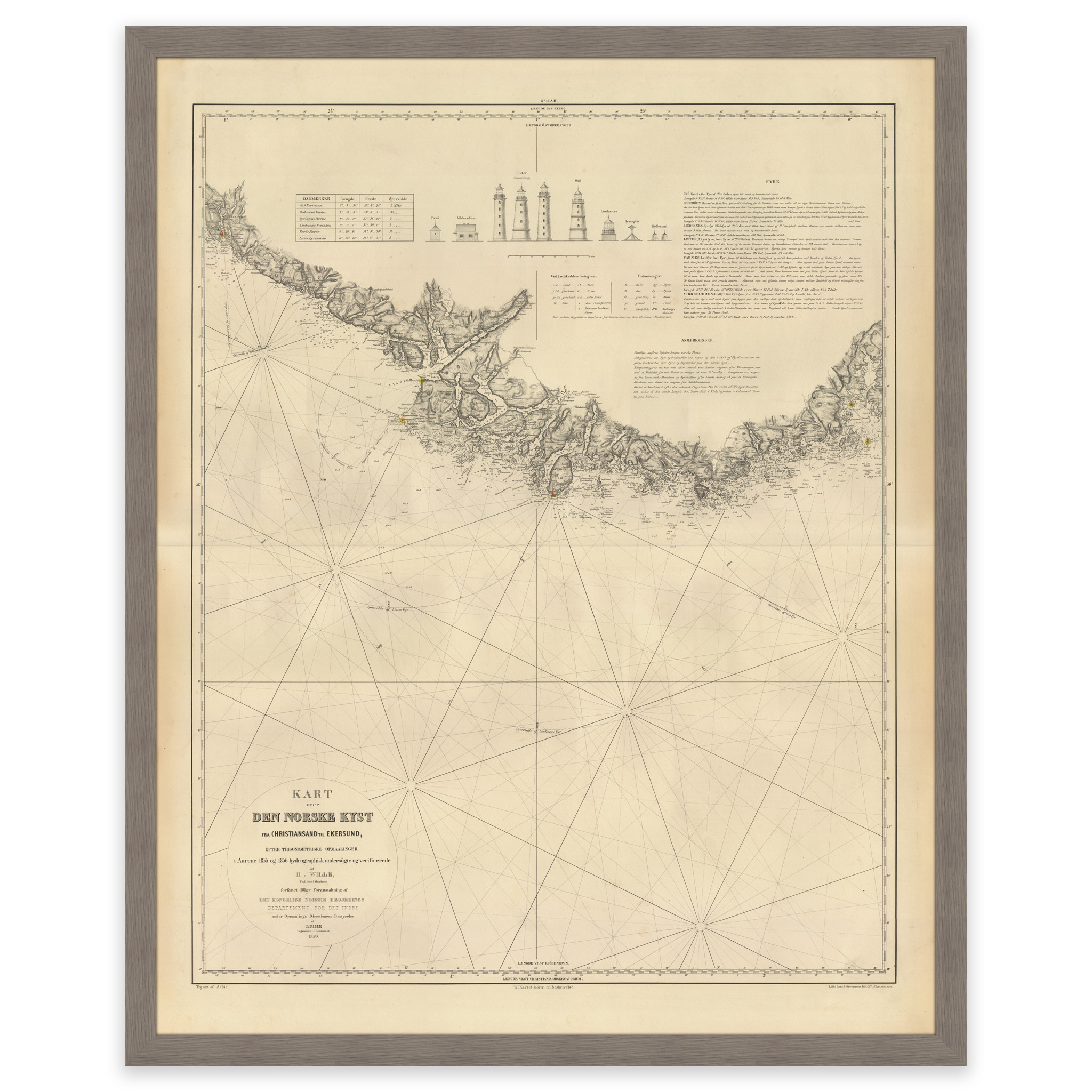
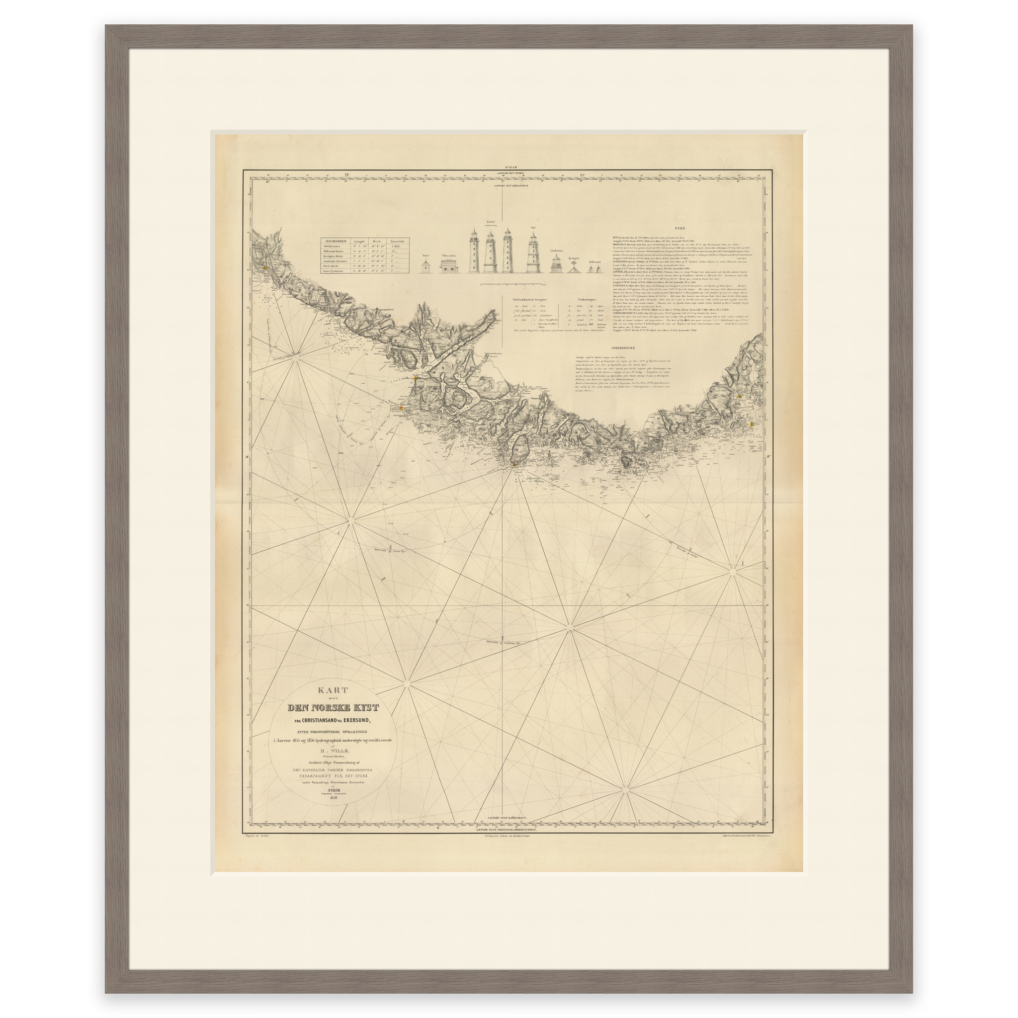
Historical nautical chart of the stretch Kristiansand to Egersund
This map was made in 1859 and covers the area between Kristiansand and Egersund. The map is delivered in its original size of 50.2 x 63 cm. The size with frame and passepartout is 68.2 x 82 cm. Do you want the map in a different size? Just get in touch – we’ll be happy to give you a quote for customization.