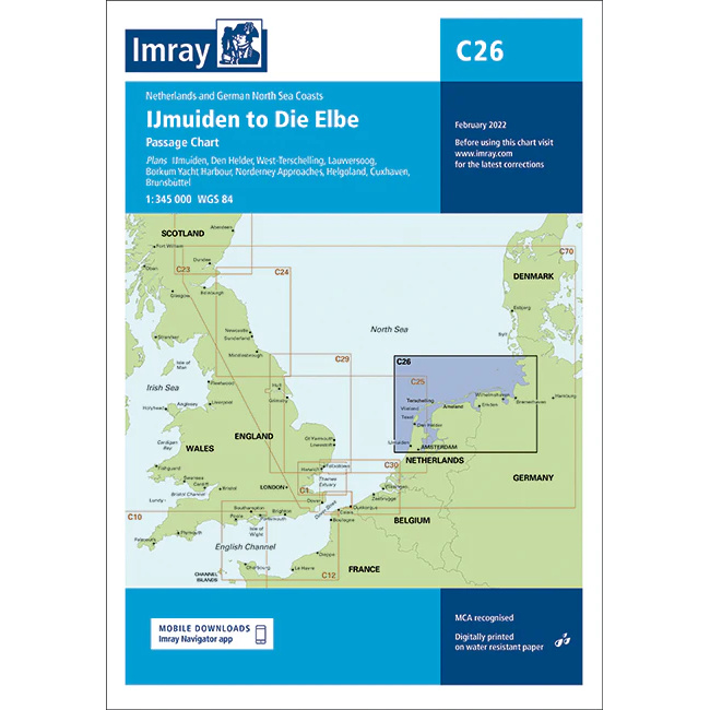
Description
This boating map covers parts of the North Sea coastline along the Netherlands and Germany, from IJmuiden near Amsterdam to the Elbe in Germany. The map includes overviews and detailed plans for key ports and approaches such as IJmuiden, Den Helder, West-Terschelling, Lauwersoog, Borkum Yacht Harbour, Norderney, as well as approaches to Helgoland, Cuxhaven and Brunsbüttel.
The map is well suited for leisure boats and sailboats planning longer sea crossings or sailing along the North Sea coast between the Netherlands and Germany. The area is characterized by adverse weather conditions, strong tidal currents, sandbanks and busy waters, and the map provides a solid foundation for safe route planning and navigation.
Imray is a recognized British chart manufacturer with extensive experience in nautical cartography for leisure and long-distance sailing. Their charts are developed with a focus on high readability, practical use and clear presentation of navigation-relevant information.