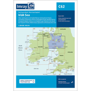
Description
This boating chart covers the Irish Sea between Ireland and the UK, including the coasts of Eastern Ireland, Wales, North West England and adjacent waters to Scotland. The chart has been developed for recreational boating and sailing navigation in an area characterized by strong tidal currents, heavy traffic and variable weather conditions.
The chart provides an overview of coastlines, major approaches, sea areas and general sailing routes, and is ideal for route planning and overview navigation when crossing the Irish Sea or sailing along the coasts. It is often used in combination with more detailed Imray charts for ports and coastlines.
Imray is a renowned British chart manufacturer with extensive experience in nautical charts and publications for leisure boats. Designed for practical use on board, their charts combine clear cartography with reliable nautical information for sailors and powerboaters.