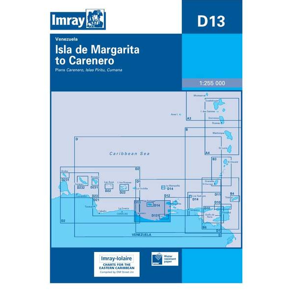
Description
This boating chart covers the coastline from Isla de Margarita to Carenero along the north coast of Venezuela in the Caribbean. The chart is designed for recreational boating and sailboat navigation in an area with varying coastline, open ocean stretches and islands that are often included in longer coastal voyages.
The map provides an overview of coastlines, nearby islands and sea areas, and is well suited for route planning and overview navigation. It is often used as a general chart in combination with more detailed harbor and coastal charts, and provides a good basis for assessing distances and route choices when sailing in this part of the Caribbean.
Imray is a renowned British chart manufacturer with extensive experience in nautical charts and publications for leisure boats. Developed with a focus on practical on-board use, their charts combine clear cartography with reliable nautical information for sailors and powerboaters.