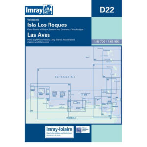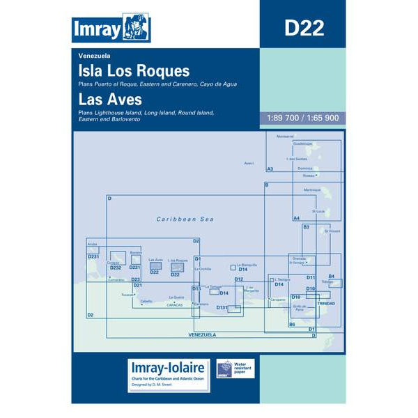
Description
This boating chart covers the Isla Los Roques and Las Aves archipelagos off the northern coast of Venezuela in the Caribbean. Designed for recreational boating and sailboat navigation in an area known for shallow waters, reefs, atolls and challenging navigation, the chart provides an overview of coastlines, islands, reefs and surrounding waters.
The map is well suited for route planning and overview navigation in combination with more detailed local charts. It provides a clear picture of distances, exposed sea areas and strategic route choices when sailing and anchoring in this part of the Caribbean, where a good overview is essential for safe navigation.
Imray is a renowned British chart manufacturer with extensive experience in nautical charts and publications for leisure boats. Designed for practical use on board, their charts combine clear cartography with reliable nautical information for sailors and powerboaters.