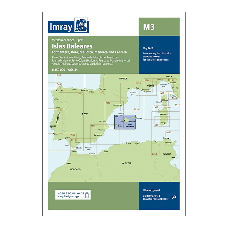
Description
This overview map from Imray covers the Balearic Islands and the surrounding waters of the Western Mediterranean. The map includes Mallorca, Menorca, Ibiza, Formentera and Cabrera, with plan views and approaches to key ports including Palma, Port de Mahón, Ibiza Town, Porto Colom and Alcúdia.
Developed for passage and route planning, the map provides a clear regional overview for sailors traveling between the islands or crossing between mainland Spain and the Balearic Islands. It serves as a good complement to more detailed coastal and harbor charts.
Printed on water-resistant paper and produced to MCA-approved standards, with support for digital updates via the Imray Navigator app.