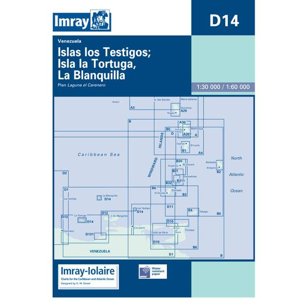
Description
This boating chart covers the Islas Los Testigos, Isla La Tortuga and La Blanquilla archipelagos off the northern coast of Venezuela in the Caribbean. The chart is designed for recreational boating and sailboat navigation in an area characterized by open seas, shallow waters and islands with limited infrastructure.
The chart provides an overview of coastlines, islands, reefs and surrounding sea areas, and is well suited to route planning and overview navigation. It is often used as a general chart in combination with more detailed local charts, especially when sailing between islands and anchoring in exposed areas.
Imray is a renowned British chart manufacturer with extensive experience in nautical charts and publications for leisure boats. Developed with a focus on practical on-board use, their charts combine clear cartography with reliable nautical information for sailors and powerboaters.