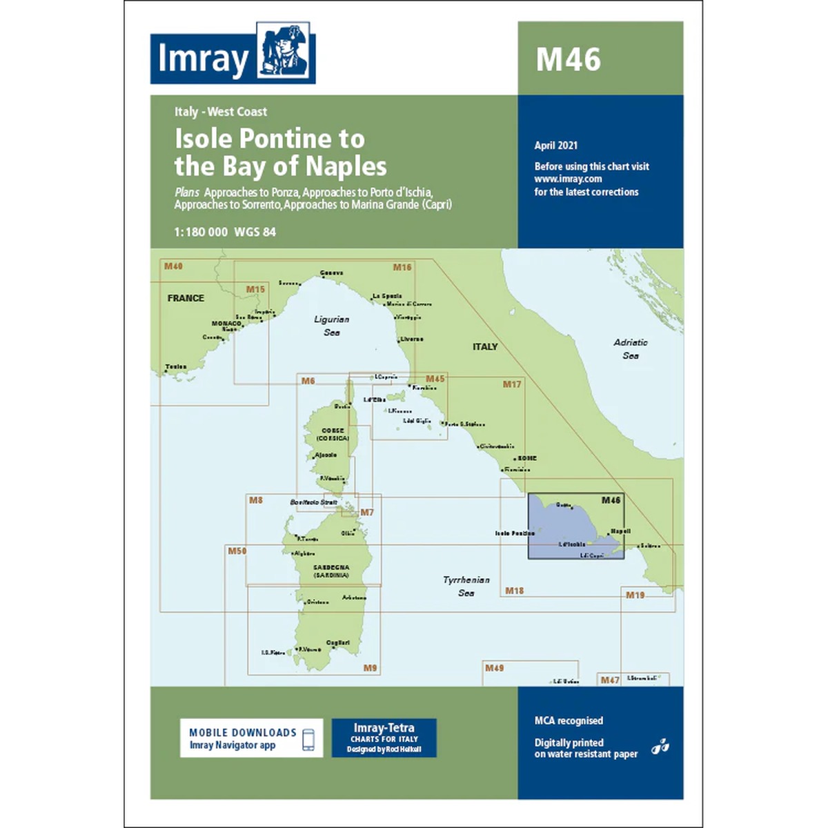
Description
Imray M46 Isole Pontine to the Bay of Naples is a detailed nautical chart covering the west coast of Italy from Isole Pontine south to the Bay of Naples. The map includes inlets and harbors at Ponza, Palmarola, Ventotene, Ischia, Procida, Capri and Naples, as well as important stretches of coastline between these areas.
The chart provides a clear overview of shoals, anchorages, navigation marks and ports in an area characterized by both intensive boat traffic and complex local conditions. As with other Imray charts, it is produced to WGS 84 datum and is compatible with modern electronic navigation systems.
Printed on durable, water-resistant paper, the map is well suited for active use on board, both as a primary navigation aid and as a supplement to an electronic chartplotter.