
Description
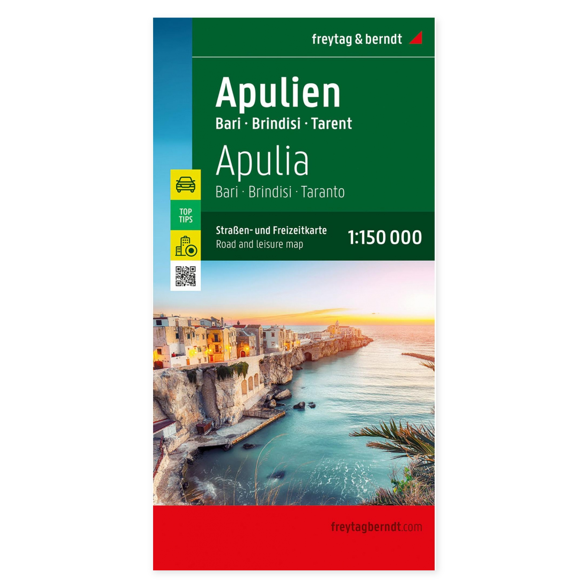
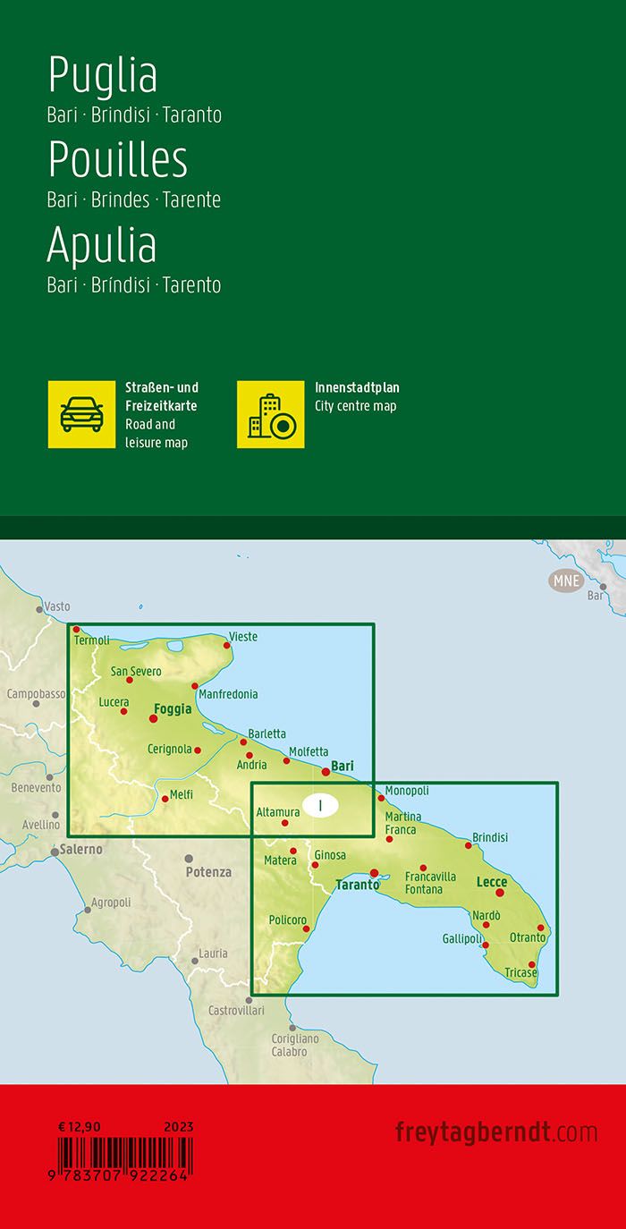
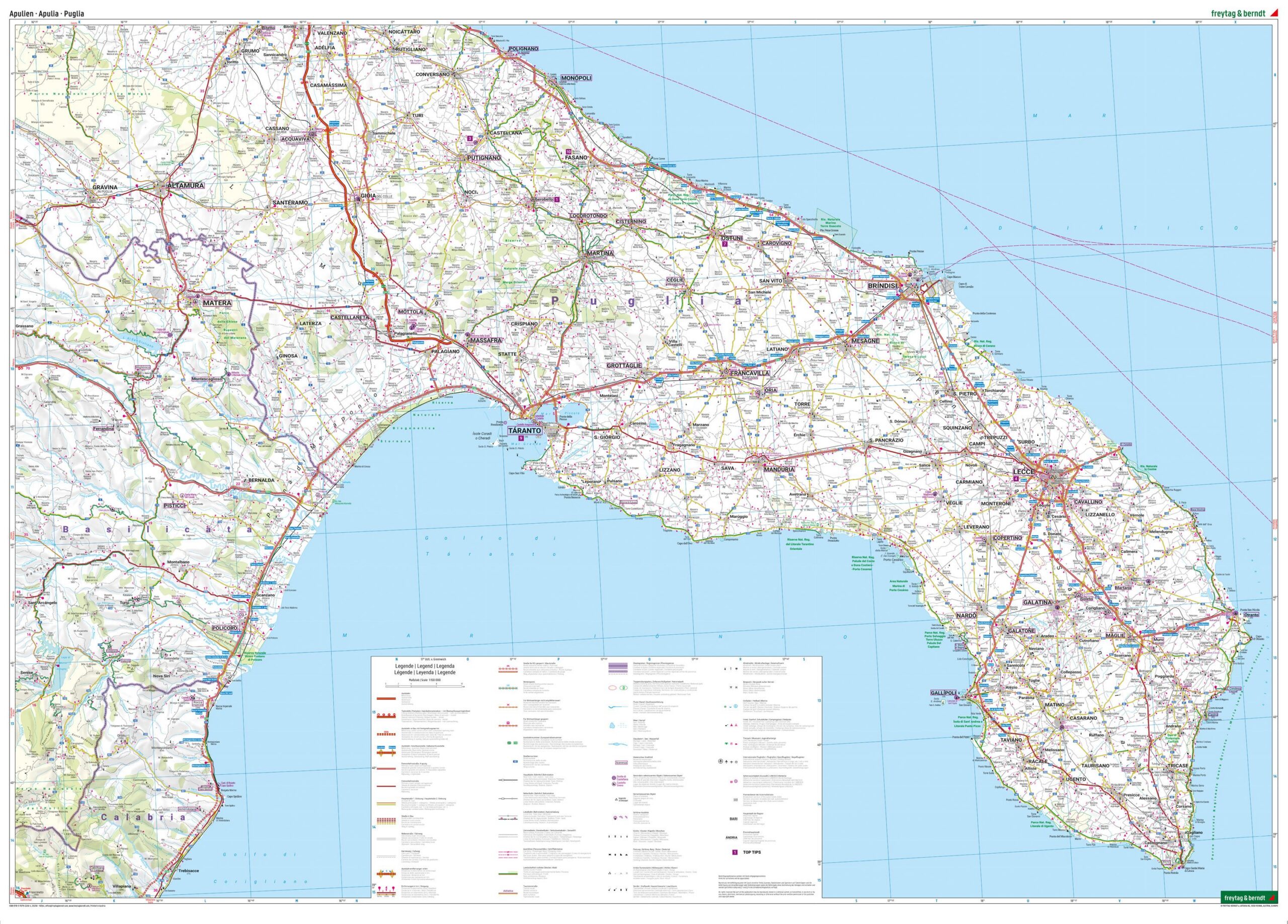
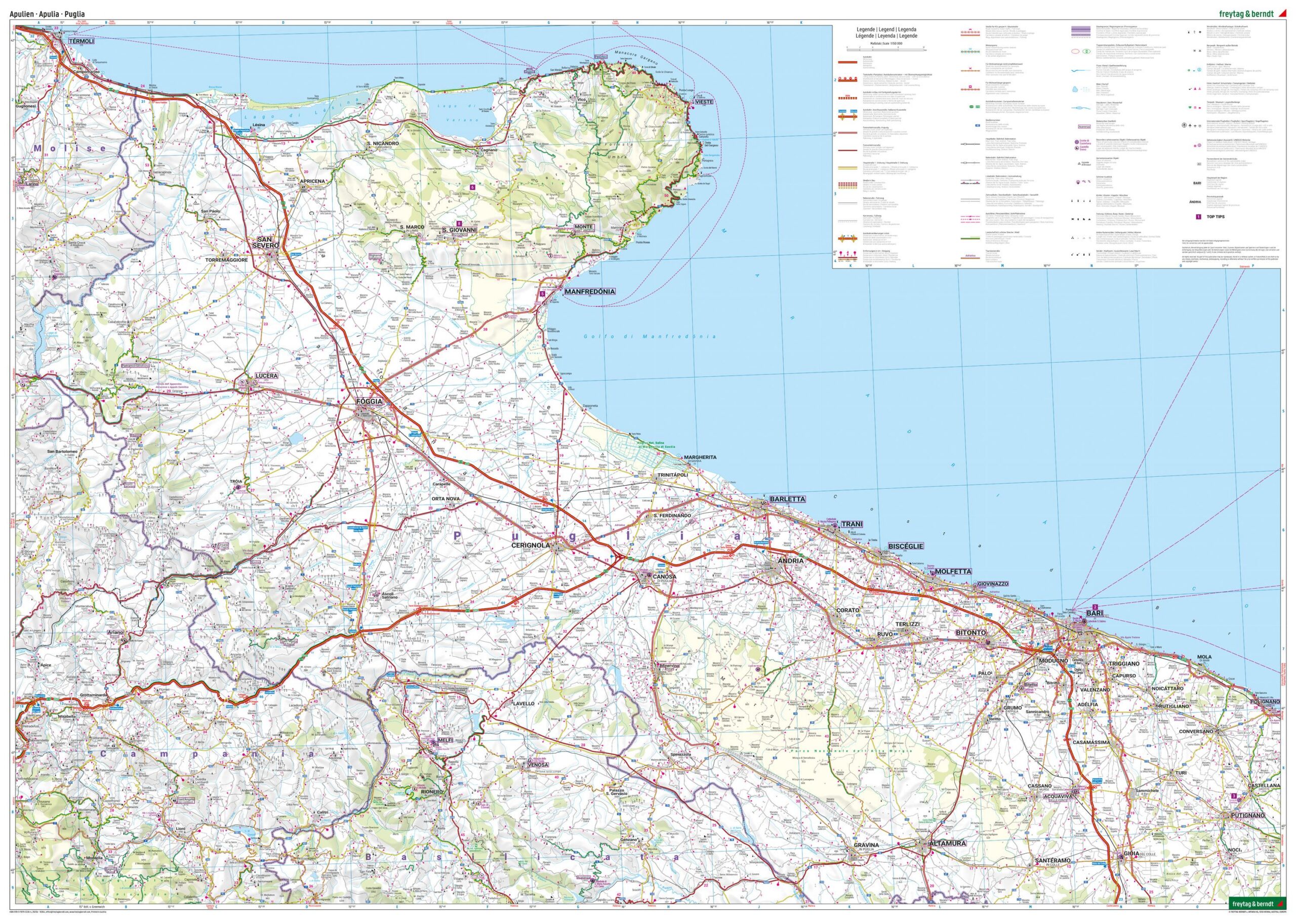
This road map covers Apulia in southern Italy, including the areas around Bari, Brindisi and Taranto, and provides a detailed overview of the region’s road network and coastal landscape. The map is well suited to both planning and executing journeys, providing a solid foundation for exploring the region by car.
The map shows both main roads and smaller connections, making it easy to plan routes through both coastal and inland areas. Tourist information and selected attractions are integrated into the map, making it easier to plan stops along the way. In addition, camping and motorhome sites are marked, providing extra value for travelers who want flexible itineraries.
The map comes with an accompanying information booklet that provides further insight into the region and suggestions for experiences. The clear cartography strikes a good balance between detail and overview, making the map suitable for both longer journeys and more local exploration. A city map of Bari also supports navigation in one of the region’s most important urban areas.
Release year: 2023.