Description
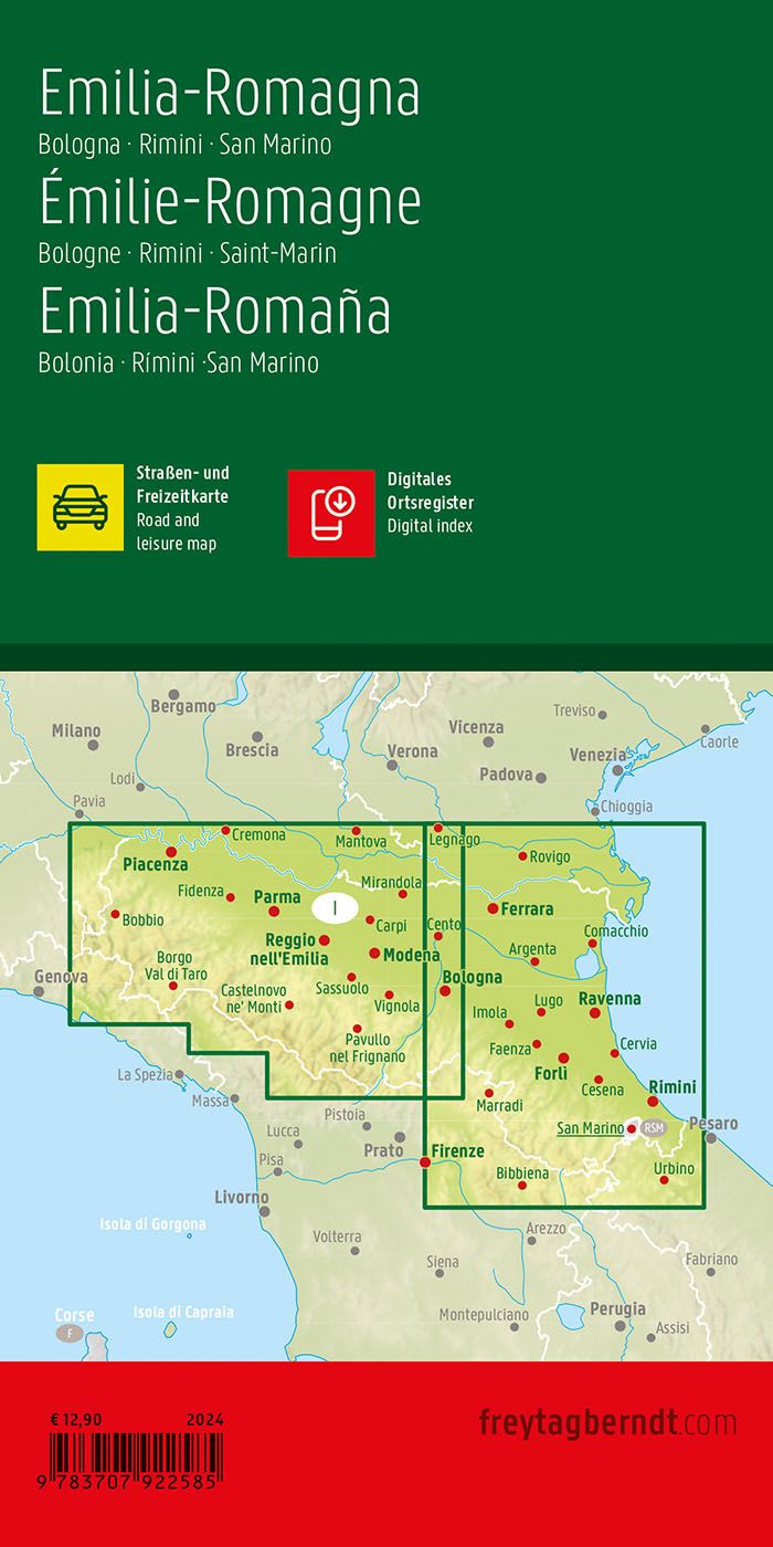
Covering Emilia-Romagna in northern Italy, including the areas around Bologna, Rimini and San Marino, this road map provides a detailed overview of the region’s road network and landscape. The map is suitable for both planning and executing trips, and provides a solid basis for exploring the area by car.
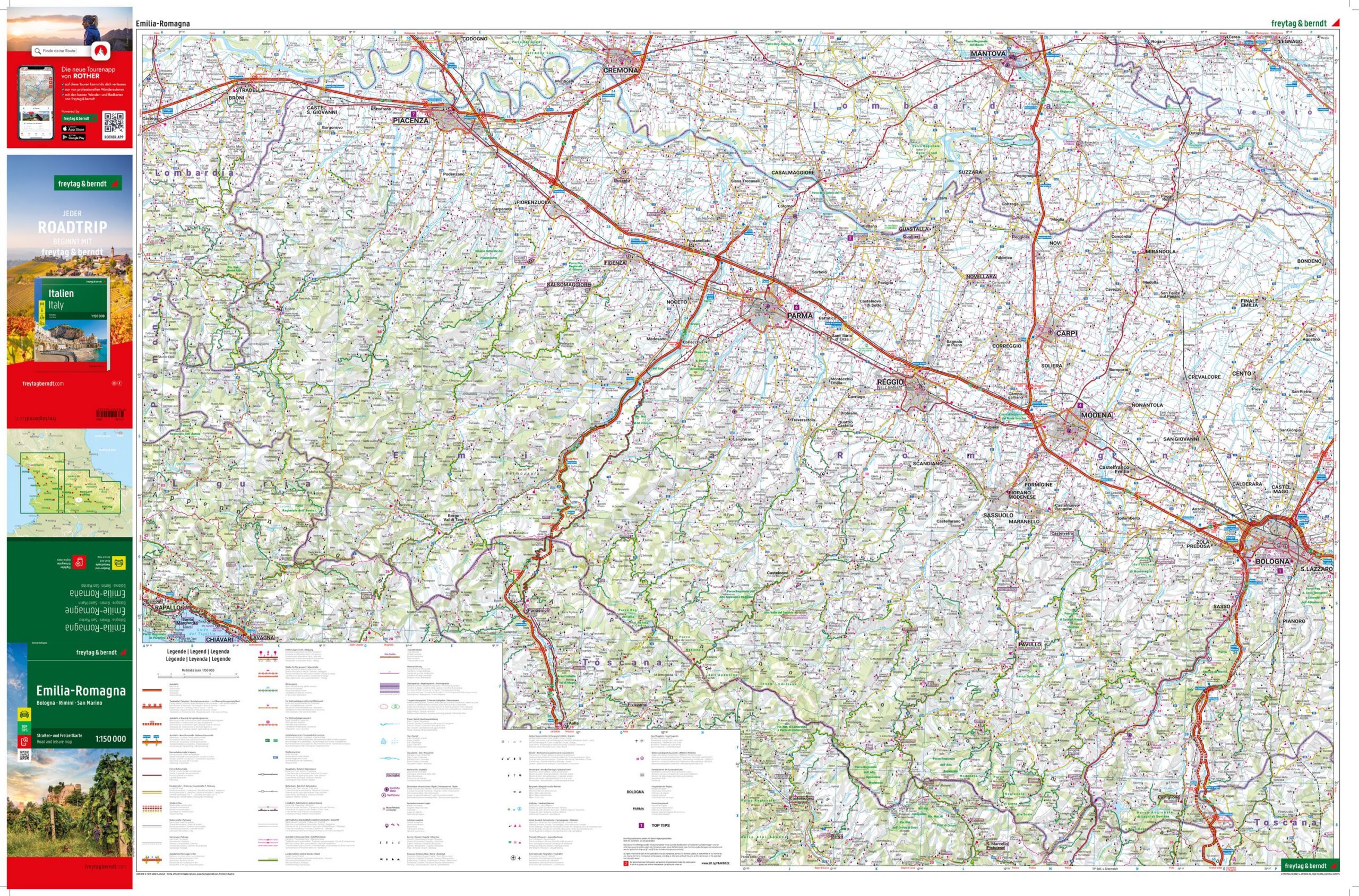
The map shows a fine-meshed network of main roads and smaller connections, making it easy to plan both efficient routes and more scenic alternatives through the region. Tourist information and selected attractions are integrated into the map, making it easier to plan stops along the way. Camping and RV sites are also marked, providing extra flexibility for travelers.
The map includes a digital information booklet with a location index, providing additional support for planning and navigation. A separate city map of Bologna makes it easier to find your way around the region’s largest city. The clear cartography strikes a good balance between detail and overview, making the map suitable both before and during your trip.
Release year: 2024.