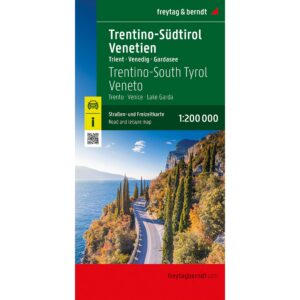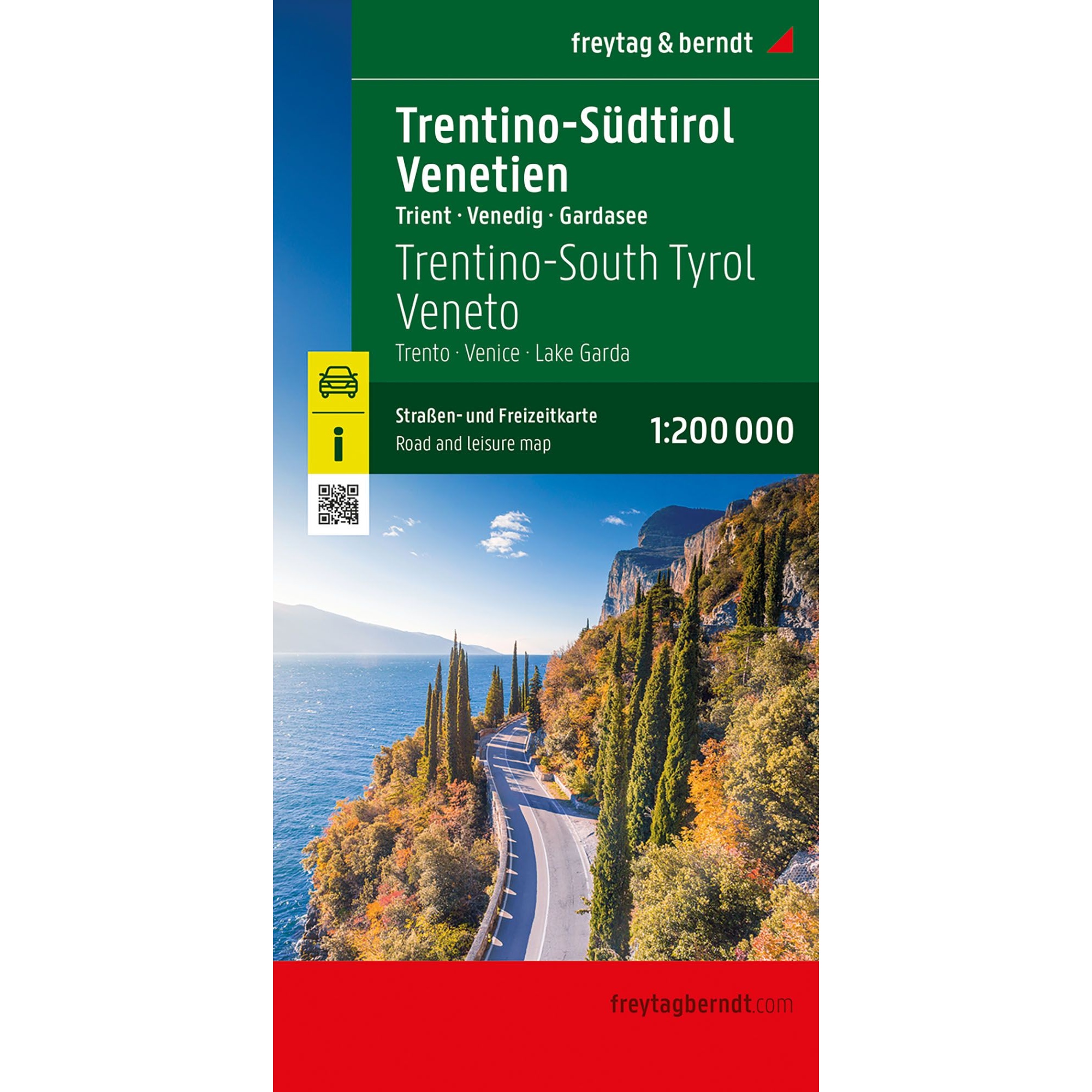
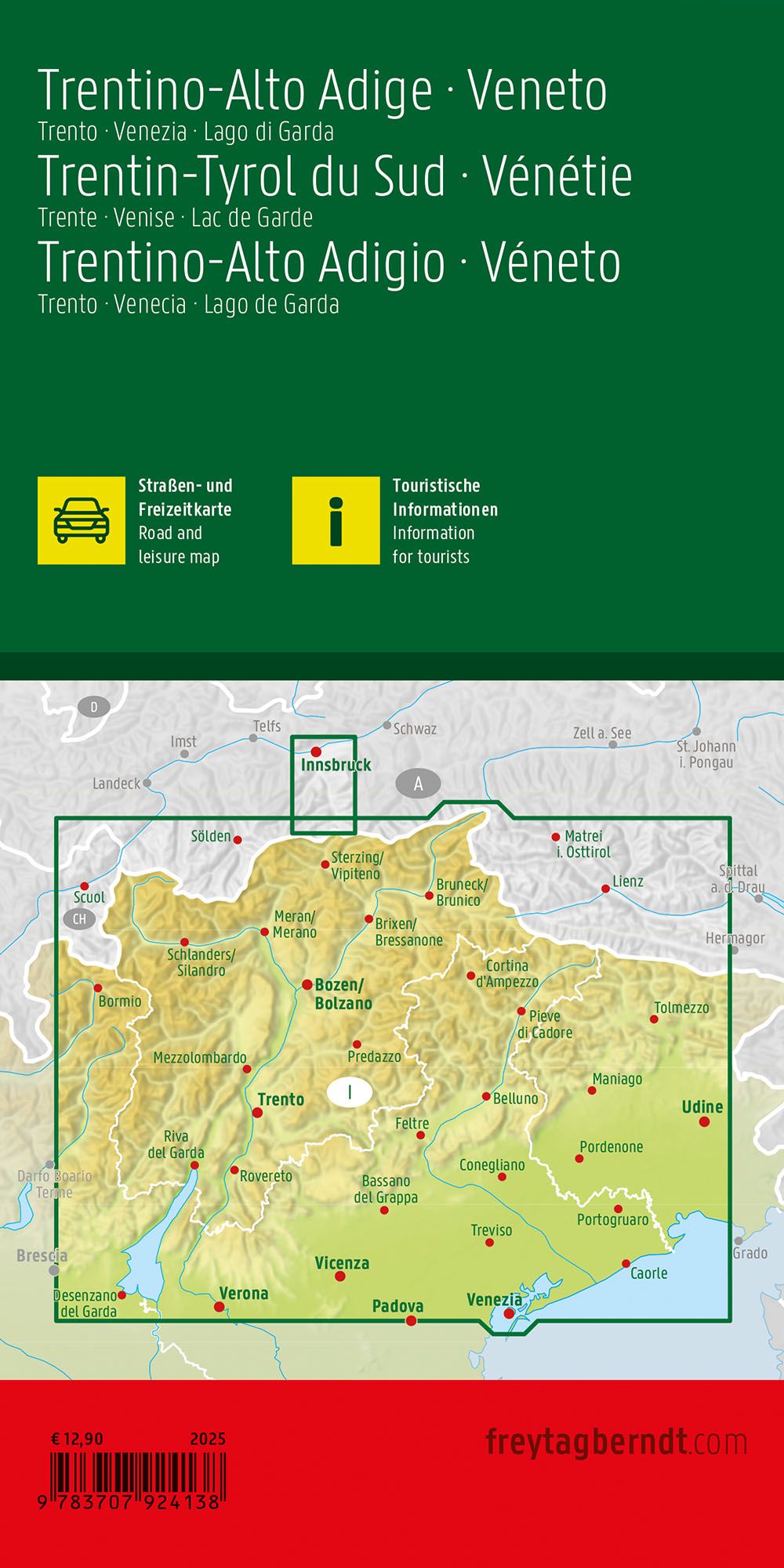
Description
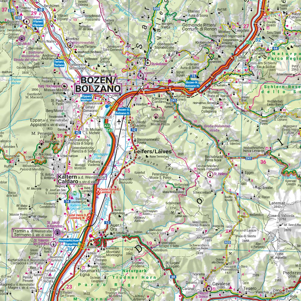
This road map covers the regions of Trentino-Alto Adige and Veneto in northern Italy, including areas such as Trento, Venice and Lake Garda. The map provides a detailed and clear representation of the region’s road network and landscape, and is ideal for both planning and undertaking trips.
The map depicts an extensive network of main roads and smaller connections, making it possible to plan both efficient transportation stages and more scenic routes through varied landscapes from alpine terrain to coastal areas. Tourist information and points of interest are integrated into the map, providing great support for planning a varied journey. Campsites are also included, making the map convenient for travelers who want flexibility.
The clear cartography strikes a good balance between detail and overview, and makes the map easy to use both before and during the journey. A location index provides easy access to destinations and contributes to efficient navigation in the region.
Release year: 2025.