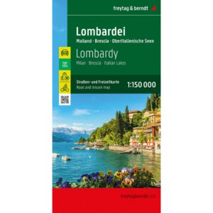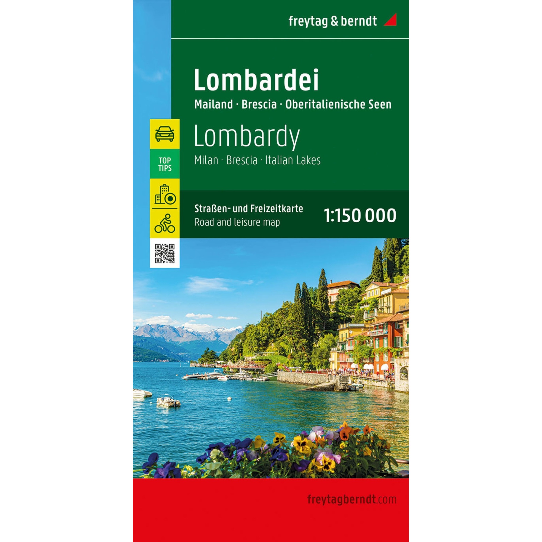
Description
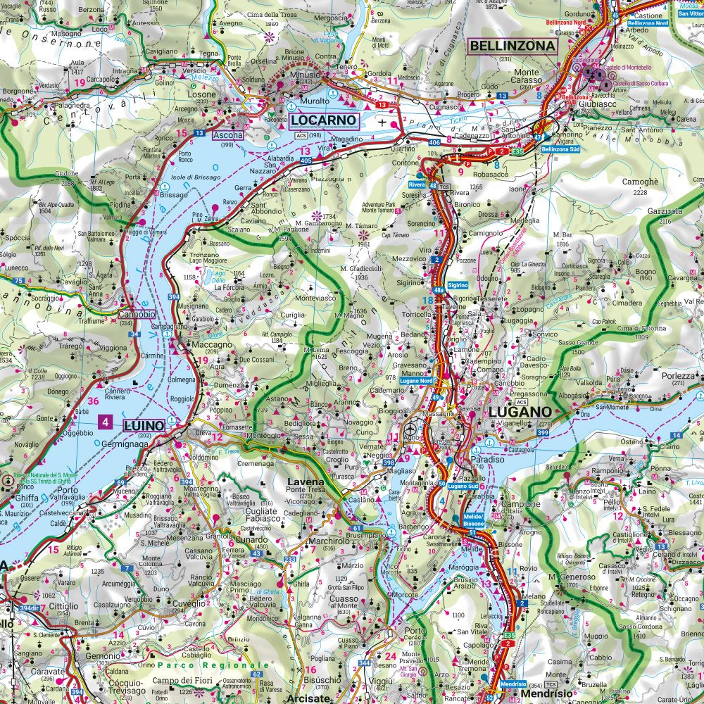
This road map covers Lombardy in northern Italy, including the areas around Milan, Brescia and the northern Italian lakes. The map provides a detailed and clear representation of the region’s road network and landscape, and is ideal for both planning and traveling.
The map depicts a fine-meshed network of main roads and smaller connections, making it possible to plan both efficient routes and more scenic alternatives through the region. The areas around the lakes and surrounding landscapes are well represented and tourist information and attractions are integrated into the map. Camping and RV sites are also marked, providing extra flexibility for travelers.
The map comes with an information booklet with selected recommendations, and also includes a city map of Milan to help you find your way around the region’s largest city. The clear cartography strikes a good balance between detail and overview, making the map suitable for both planning and on-the-go use.
Release year: 2023.