
Description
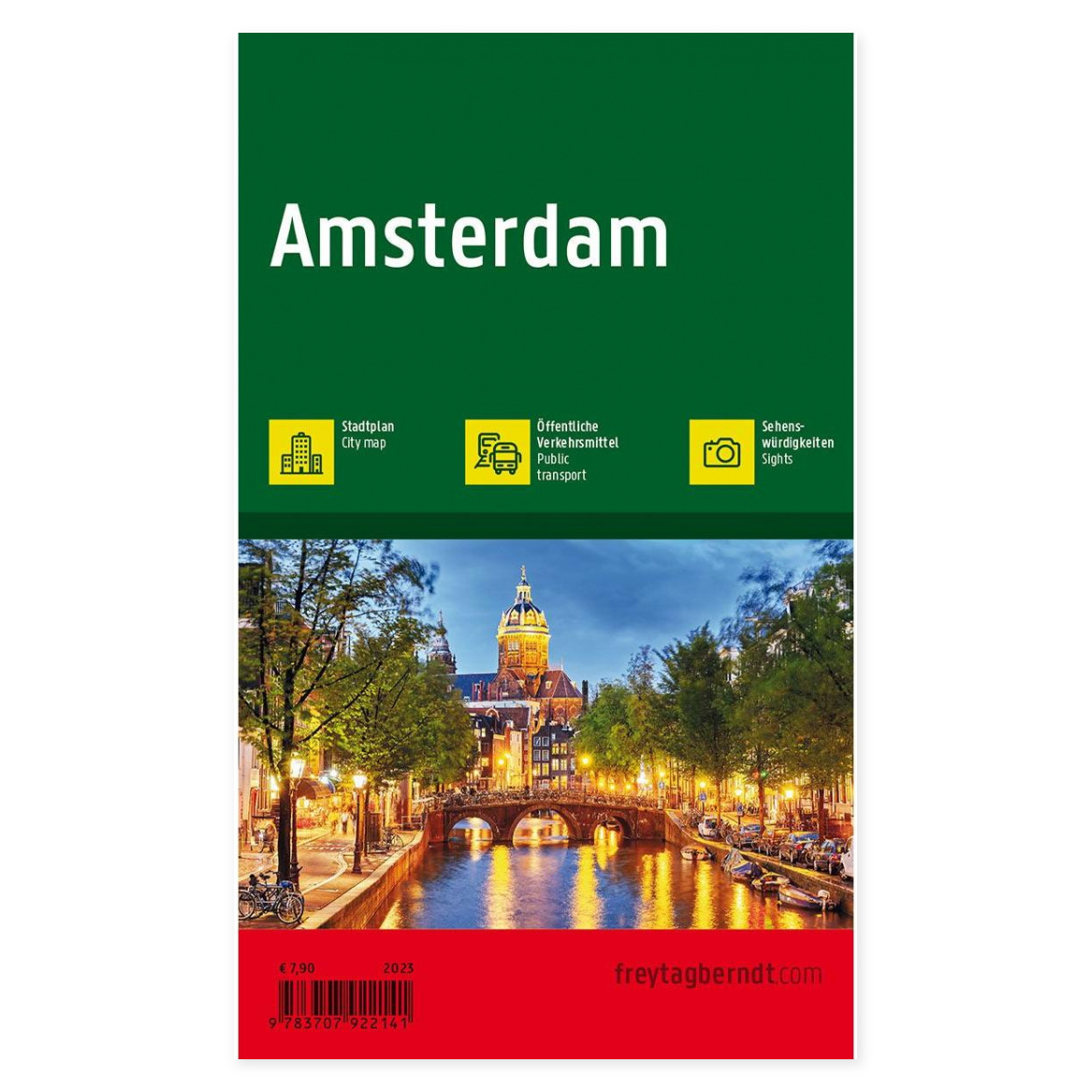
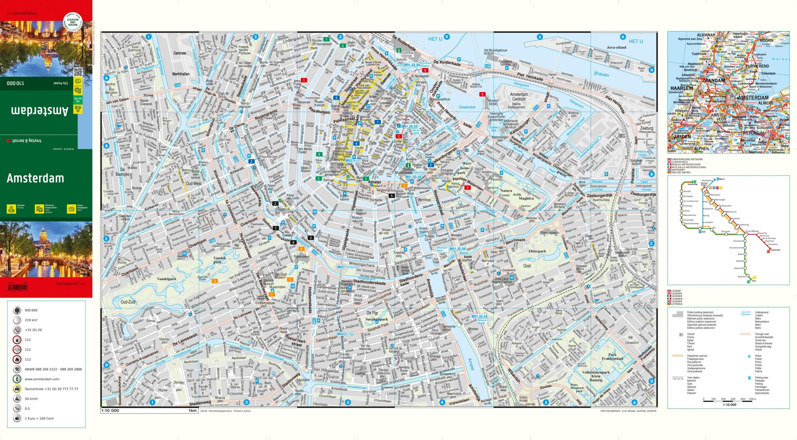
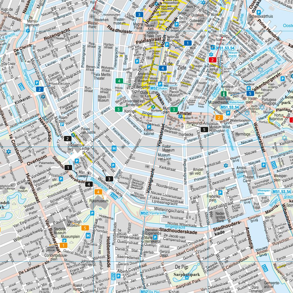
This detailed city map shows the center of Amsterdam and provides a clear representation of the city center with a focus on streets, canals and central areas. The map is developed in a compact format that makes it easy to carry around and is suitable for both planning and orientation during stays in the city.
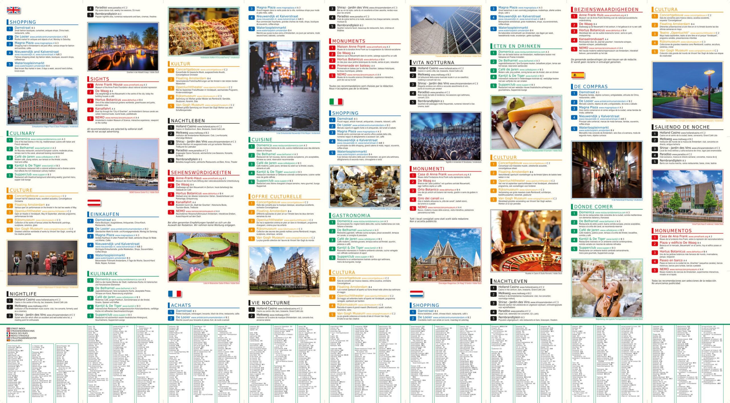
The map provides a precise representation of the street network and makes it easy to find your way between sights, districts and important hubs. In addition, the map contains information about public transport and a street and place index that simplifies navigation. The back of the map also contains useful information about cultural offerings, restaurants, shopping and attractions, which adds extra value for visitors.
The map focuses on the inner city and therefore provides a detailed representation of the city center rather than the entire metropolitan area. It is printed on durable, water-resistant and tear-resistant material, making it well suited for outdoor use in varying weather conditions.
Release year: 2023.