Description
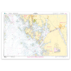
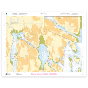
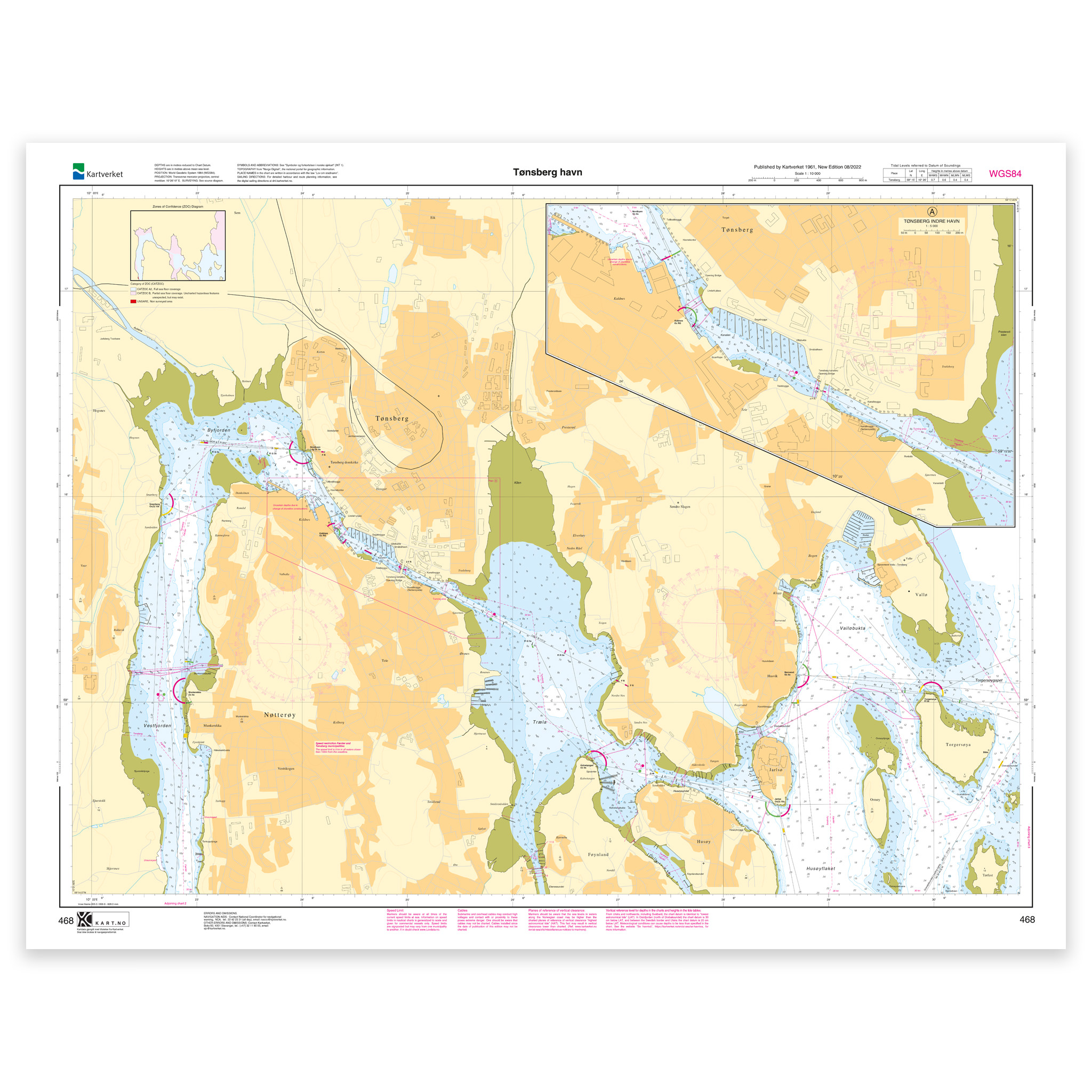
Nautical chart covering the waters of Tønsberg harbor. Map sheet 468 in the Norwegian Mapping Authority’s harbor map series. The map is 74 x 97 cm and has a scale of 1:10,000. Can also be delivered on a plate or framed. Size with passepartout and frame is 95 x 117 cm.
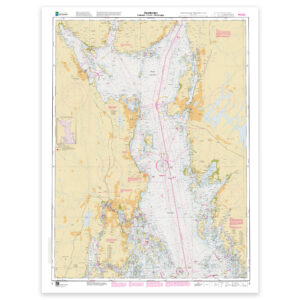
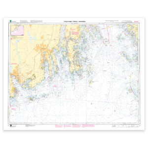
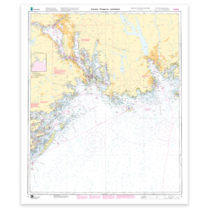
The map covers the port of Tønsberg and is designed for those who need an up-to-date nautical chart for active use along the coast. The coverage is particularly useful if you are looking for nautical charts for this particular area and want a clear overview of local waters and nearby coastlines.
Map sheet 468 in the Norwegian Mapping Authority’s harbor map series. The map has a scale of 1:10,000 and size 74 x 97 cm. This nautical chart is produced when ordered, so you get a fresh edition with updated information from the Norwegian Mapping Authority.
Based on official data from the Swedish Mapping Authority, the map provides a safe and reliable basis for navigation and planning.
For many, 125-gram map paper is the right choice when the map is primarily intended as a backup, while 180-gram map paper is the best option for active navigation and notes along the way. If the map is to be used in harsh environments, Tyvek is a very durable alternative. For framing and decoration, art paper is an exclusive choice with a clear structure and high quality.
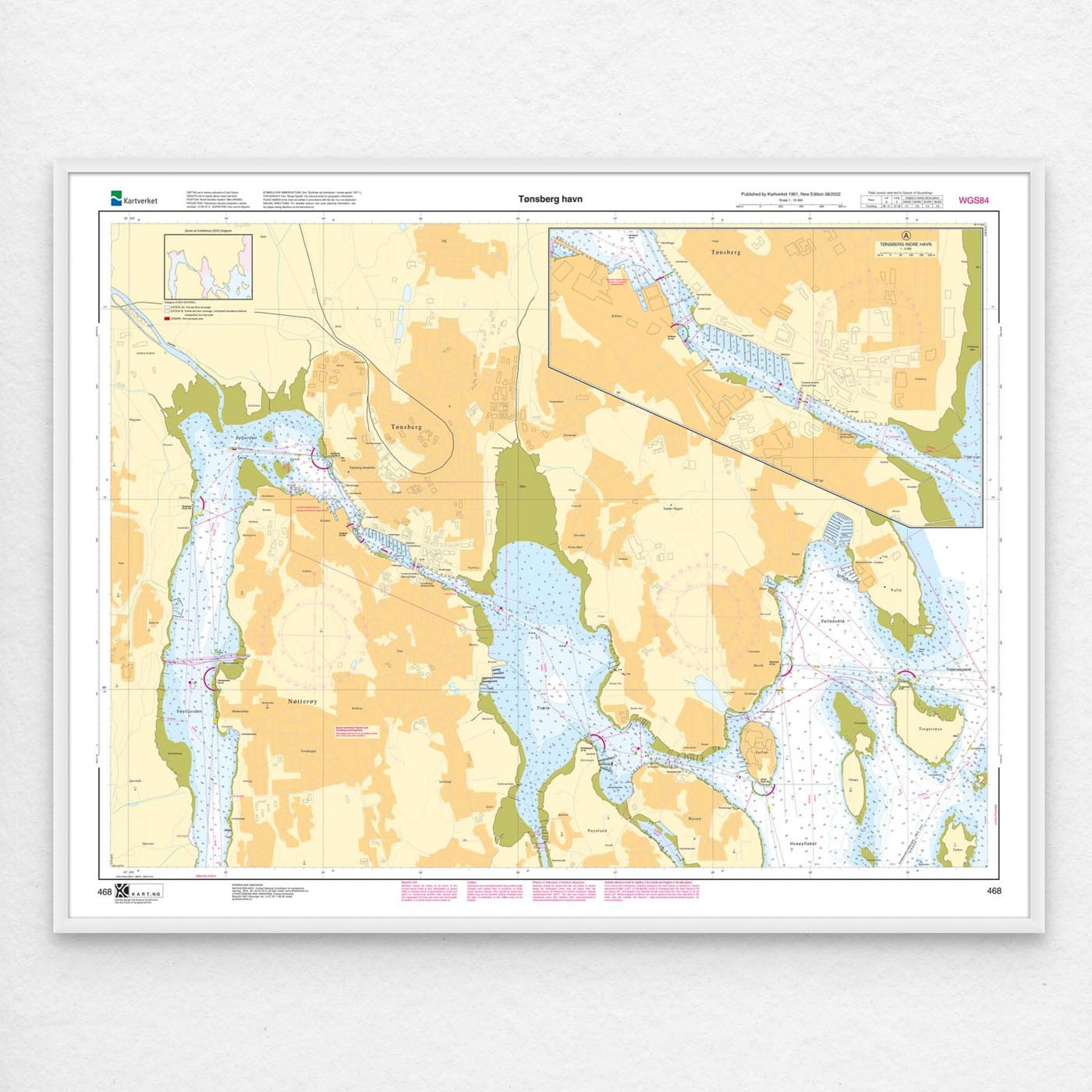
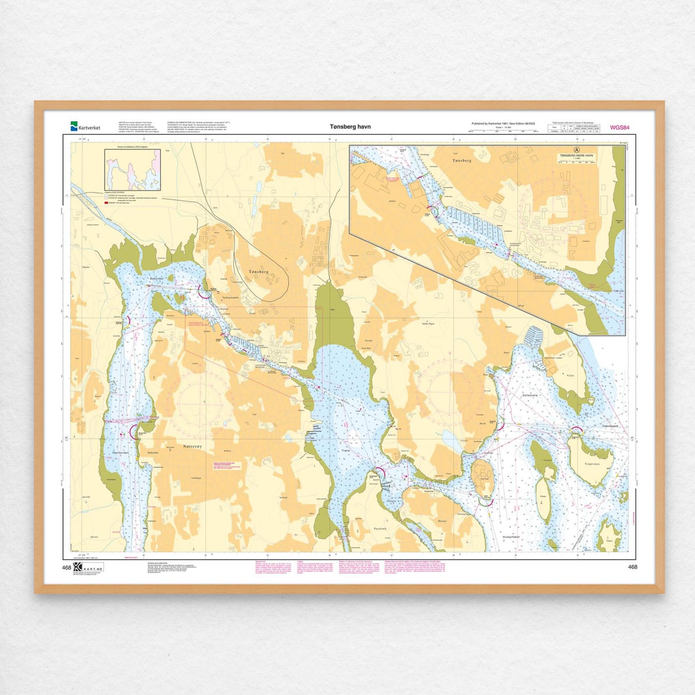
In addition, the map can be delivered with a frame or on an aluminum plate, ready to hang up as a practical and decorative map. Size with passepartout and frame is 95 x 117 cm.