Description
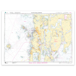
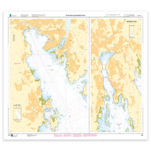
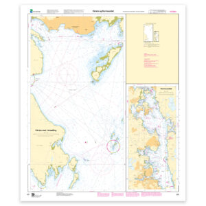
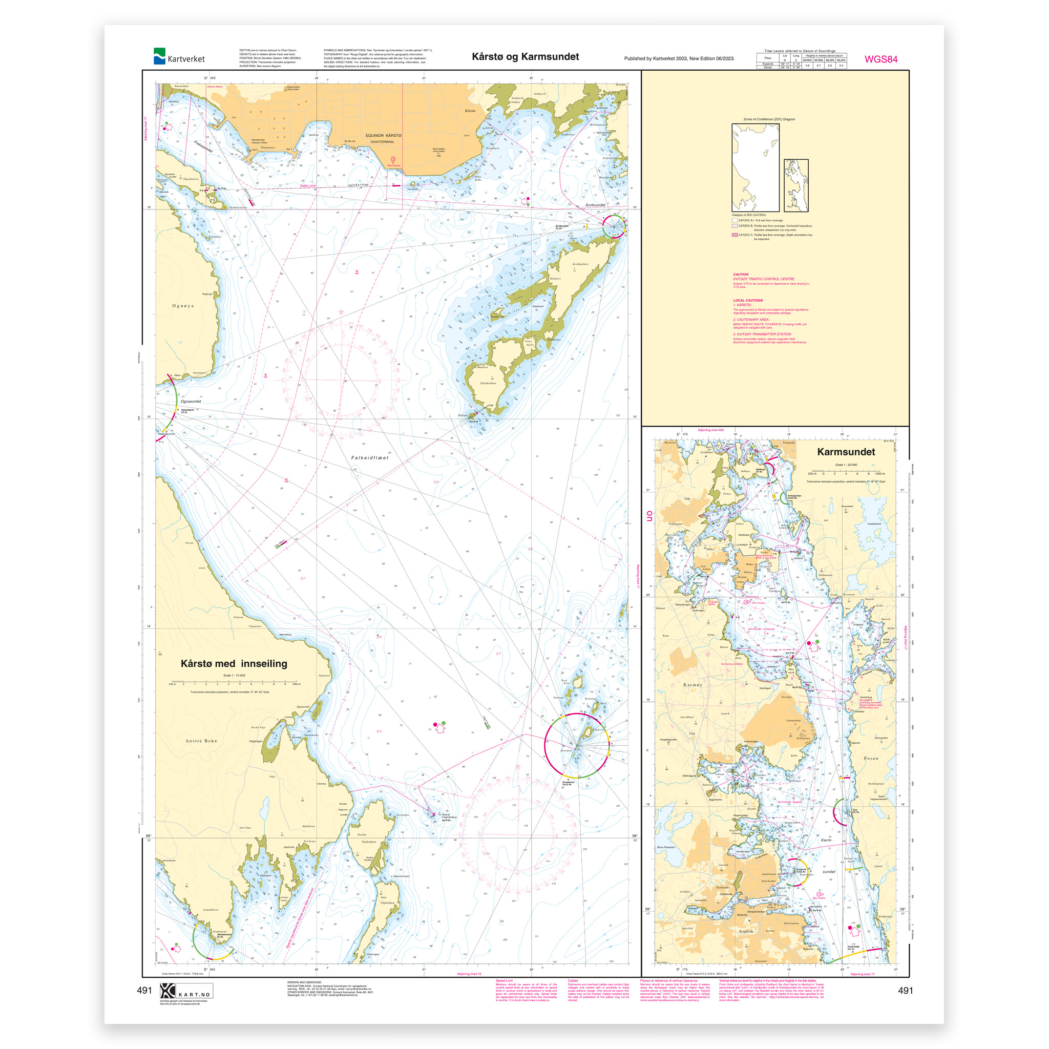
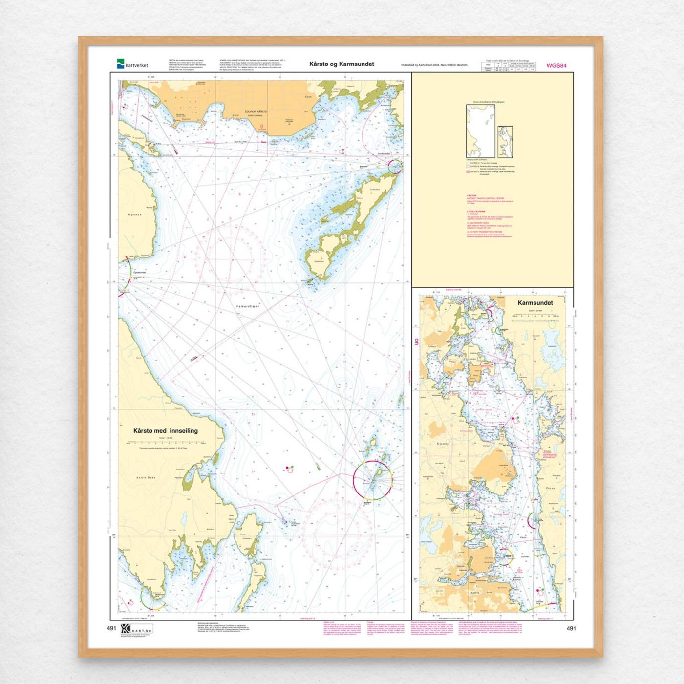
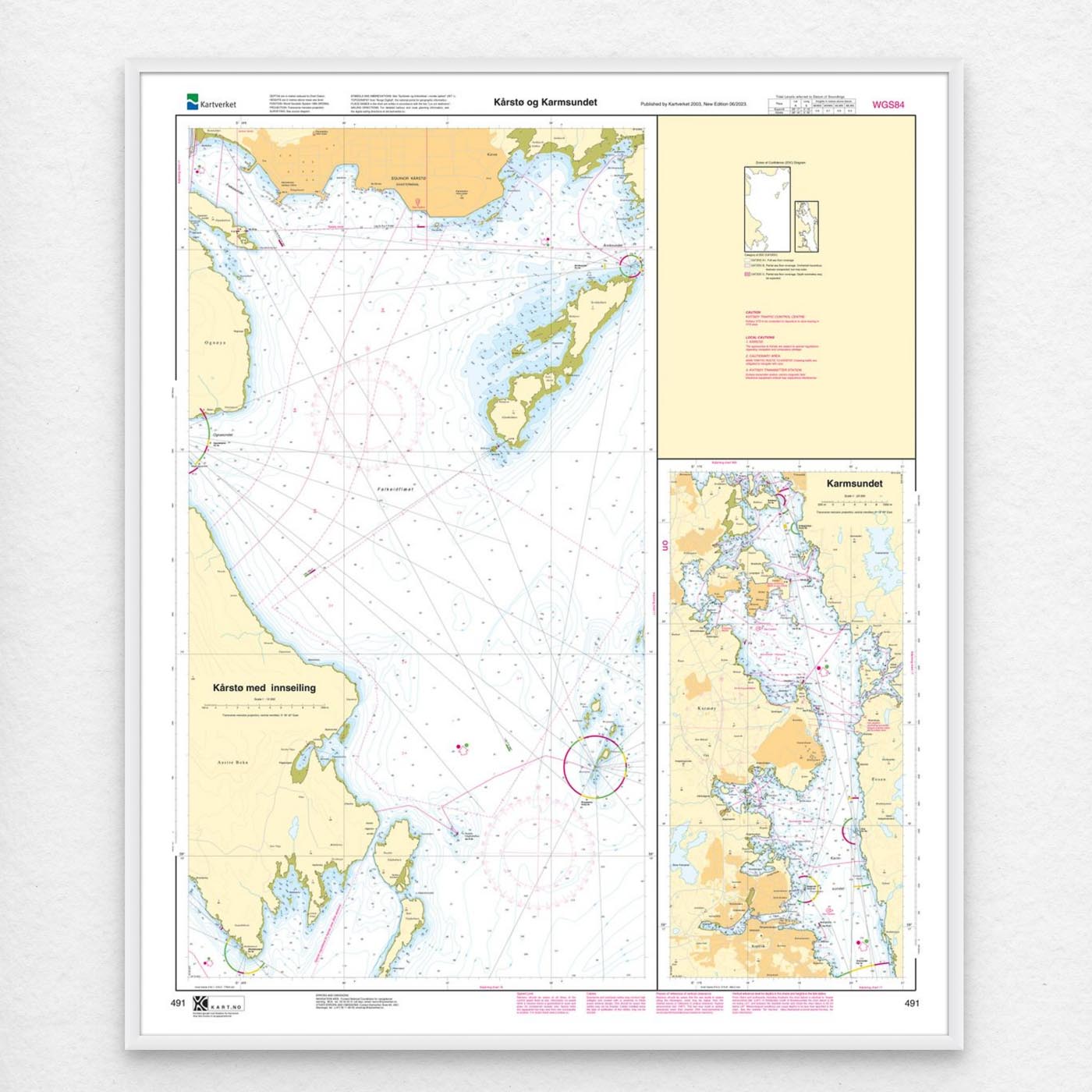
Nautical chart covering the waters of Kårstø and Karmsundet. Map sheet 491 in the Norwegian Mapping Authority’s harbor map series. The map is 90 x 78 cm and has a scale of 1:20,000. Can also be delivered on a plate or framed. Size with passepartout and frame is 111 x 98 cm.
This Kartverket nautical chart covers Kårstø and Karmsundet and is suitable for recreational boats, sailors and others who travel in the area. By covering specific locations in the area, the map is suitable for those looking for a nautical chart with local relevance and clear geographical boundaries.
Map sheet 491 in the Norwegian Mapping Authority’s harbor map series. Scale 1:20,000 provides a good balance between level of detail and overview, and the size 90 x 78 cm makes the map practical to use. The map is produced as print-on-demand and is printed when ordered. This means that you get an updated nautical chart based on the latest available data and corrections from the Norwegian Mapping Authority.
The map base is based on official data from the Swedish Mapping Authority, making this a reliable choice for those who want up-to-date nautical charts.
You can choose from several high-quality materials. Map paper 125 grams is a good choice as a backup map because it’s lightweight, takes up little space and is ideal for storing multiple maps. Map paper 180 grams is more robust and best suited for active use, especially when you want to note routes or your own updates in the map. For rougher conditions, there’s Tyvek, a water- and tear-resistant material that can withstand moisture and hard use. If you want the map for walls or framing, art paper in cotton-based rag paper is an exclusive alternative with a great structure and very long life.
If you want a ready-to-hang solution, the map can be delivered pre-framed or mounted on aluminum plate. This also makes it suitable as a wall map. Size with passepartout and frame is 111 x 98 cm.