Description
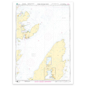
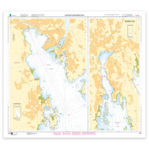
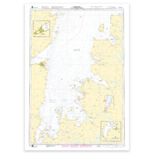
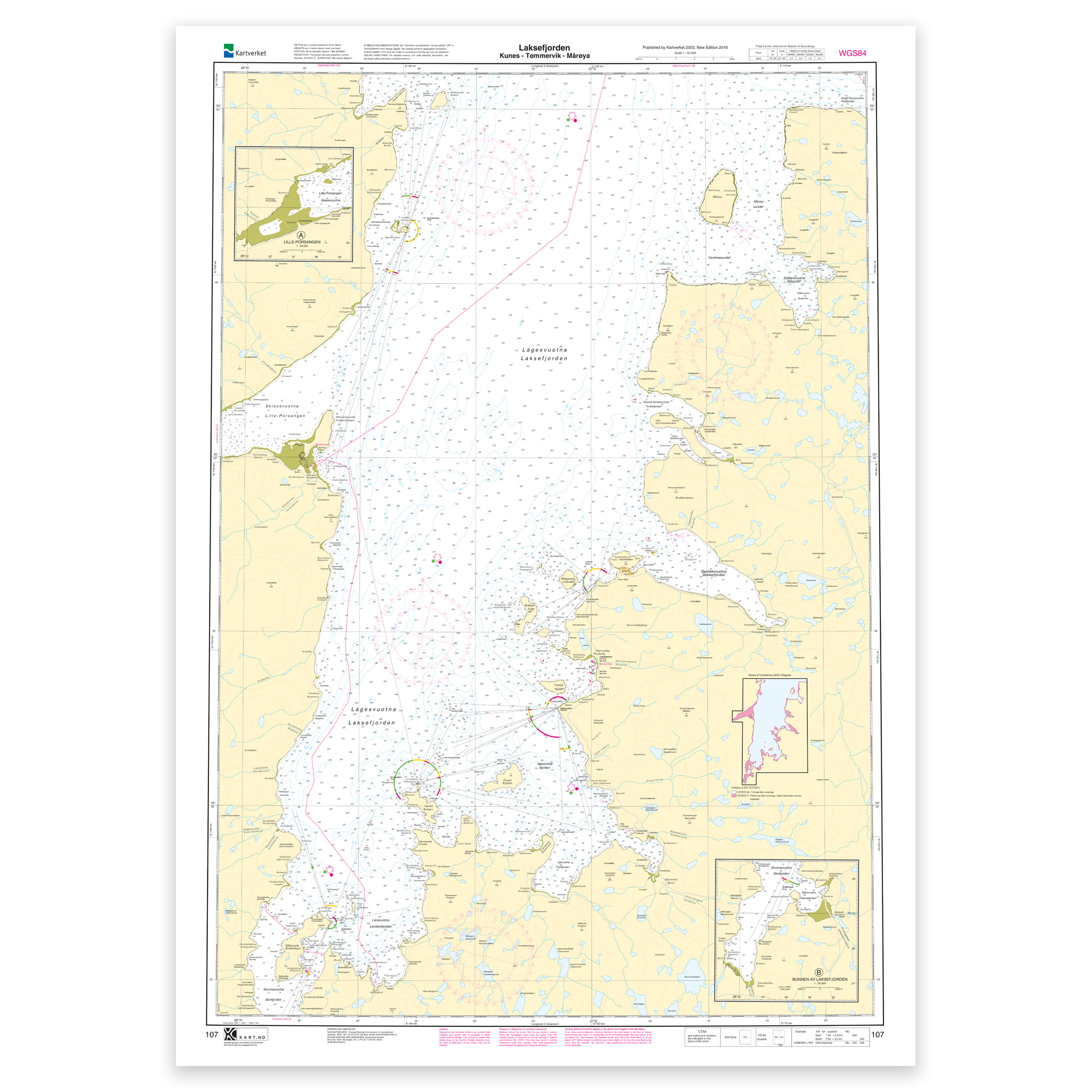
Nautical charts covering the waters of Laksefjorden. Kunes – Tømmervik – Mårøya. Map sheet 107 in the Norwegian Mapping Authority’s main map series. The map is 112 x 81 cm and has a scale of 1:50,000. Can also be delivered on a plate or framed. Size with passepartout and frame is 133 x 101 cm.
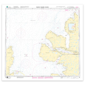
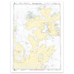
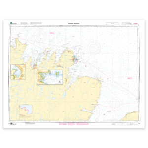
This nautical chart covers Laksefjorden. Kunes – Tømmervik – Mårøya and provides a detailed, up-to-date and useful basis for navigation in these waters. By covering specific locations in the area, the map is well suited for those looking for a nautical chart with local relevance and clear geographical boundaries.
Map sheet 107 in the Norwegian Mapping Authority’s main map series. The map has a scale of 1:50,000 and size 112 x 81 cm. The map is produced as print-on-demand and is printed when ordered. This means that you get an updated nautical chart based on the latest available data and corrections from the Mapping Authority.
Based on official data from the Swedish Mapping Authority, the map provides a safe and reliable basis for navigation and planning.
For many, 125-gram map paper is the right choice when the map is primarily intended as a backup, while 180-gram map paper is the best option for active navigation and notes along the way. Tyvek is made for rough conditions and can withstand both water and rough handling. Art paper is a good choice when the map is to be framed or used as a wall map, and gives a more exclusive finish.
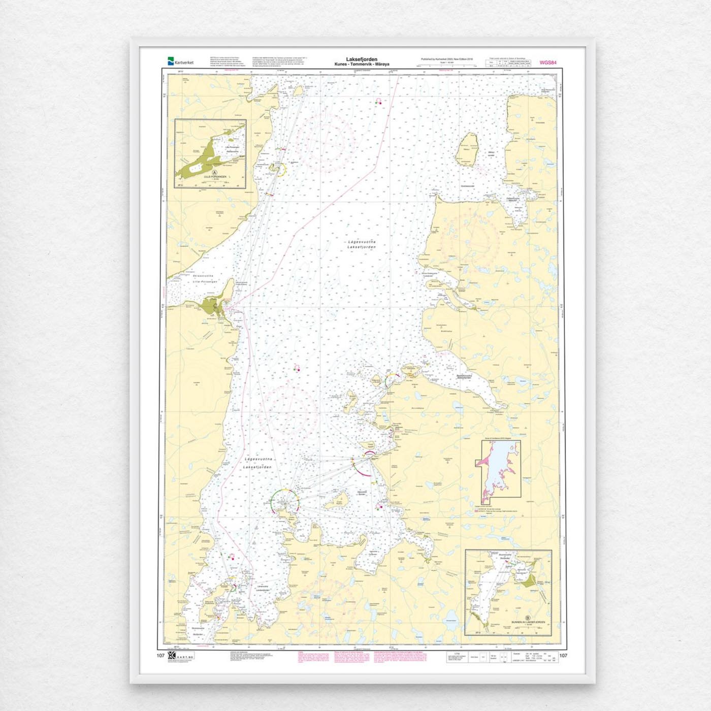
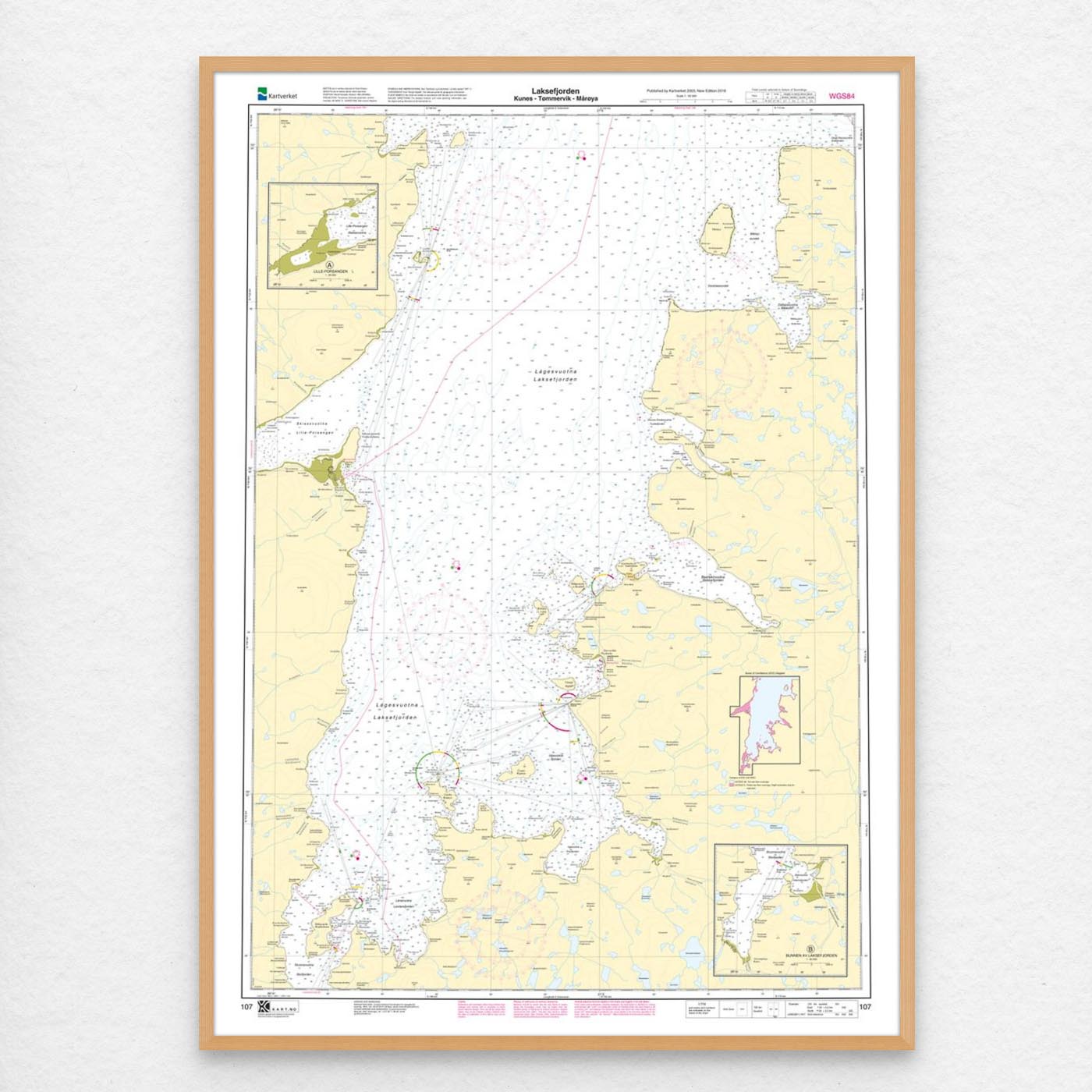
The map can also be delivered framed, with passepartout, or mounted on aluminum plate. This makes it just as suitable for use as a wall map in your home, cabin or office. Size with passepartout and frame is 133 x 101 cm.