
Description
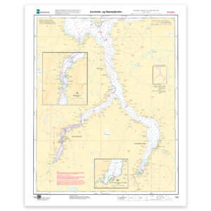
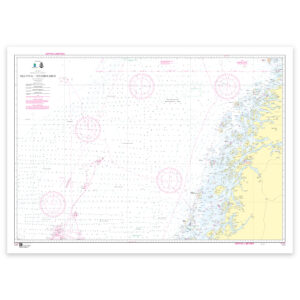
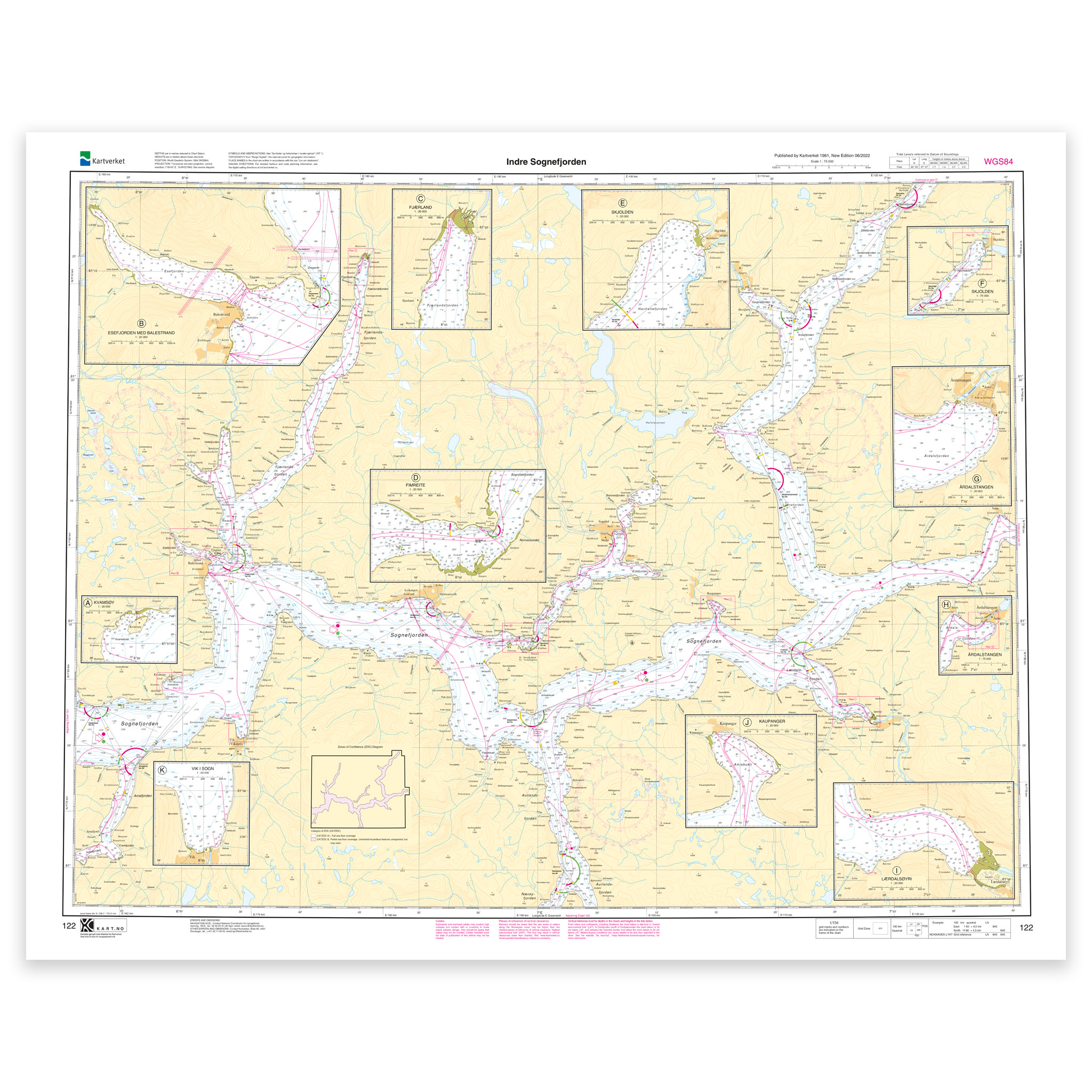
Nautical chart covering the waters of Indre Sognefjorden. Map sheet 122 in the Norwegian Mapping Authority’s main map series. The map is 85 x 107 cm and has a scale of 1:75,000. Can also be delivered on a plate or framed. Size with passepartout and frame is 106 x 127 cm.
For the waters around Indre Sognefjorden, this chart is a solid tool for both planning and safe navigation. The coverage is particularly useful if you are looking for charts for this particular area and want a clear overview of local waters and nearby coastlines.
Map sheet 122 in the Norwegian Mapping Authority’s main map series. The scale of 1:75,000 provides a good balance between level of detail and overview, and the size of 85 x 107 cm makes the map practical to use. This nautical chart is produced when ordered, so you get a fresh edition with updated information from the Mapping Authority.
The map base is based on official data from the Swedish Mapping Authority, making this a reliable choice for those who want up-to-date nautical charts.
For many, 125-gram map paper is the right choice when the map is primarily intended as a backup, while 180-gram map paper is the best option for active navigation and notes along the way. For rougher conditions, there’s Tyvek, a water- and tear-resistant material that can withstand moisture and hard use. If you want the map to be wall-mounted or framed, cotton-based rag paper is an exclusive alternative with a beautiful structure and very long life.
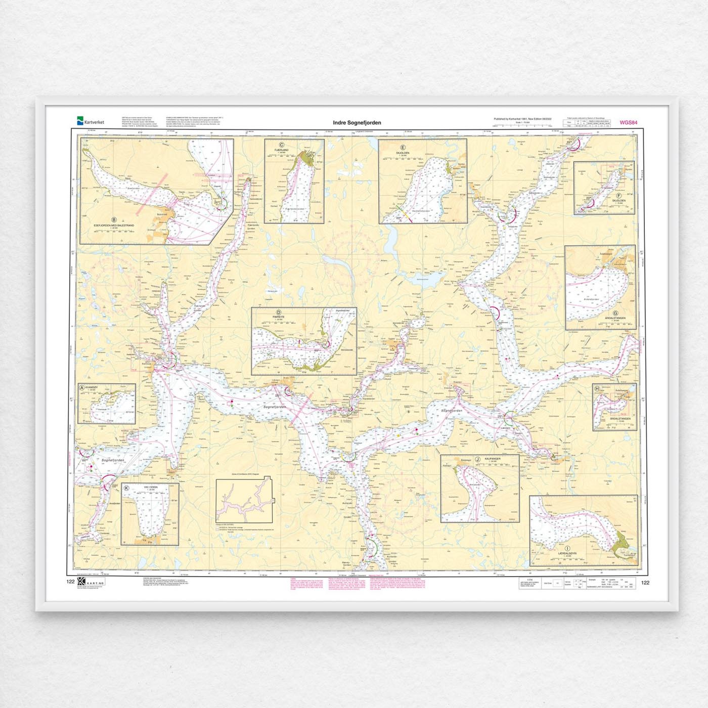
If you want a ready-to-hang solution, the map can be delivered pre-framed or mounted on aluminum plate. This also makes it well suited as a wall map. Size with passepartout and frame is 106 x 127 cm.