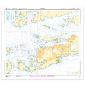
Description
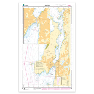
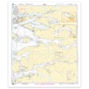
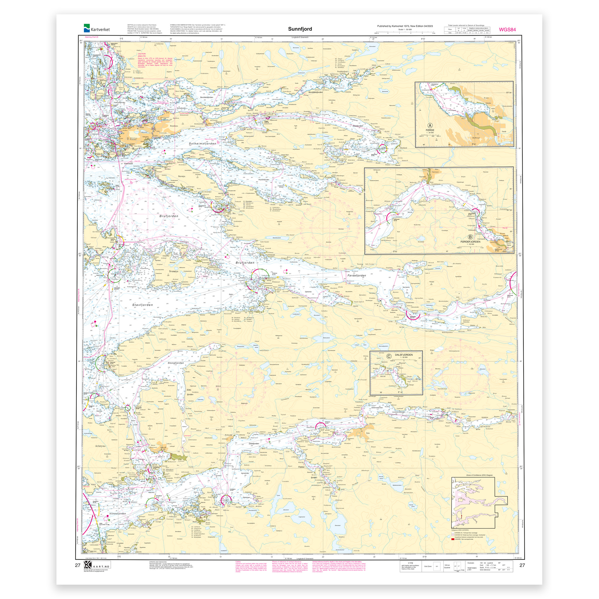
Nautical chart covering the waters of Sunnfjord. Map sheet 27 in the Norwegian Mapping Authority’s main map series. The map is 101 x 87 cm and has a scale of 1:50,000. Can also be delivered on a plate or framed. Size with passepartout and frame is 122 x 107 cm.
For the waters around Sunnfjord, this chart is a solid tool for both planning and safe navigation. The place names in the chart area make it easy to find the right coverage for this particular part of the coast, whether you use the chart actively on board or want it as an overview chart.
Map sheet 27 in the Norwegian Mapping Authority’s main map series. The scale of 1:50,000 provides a good balance between level of detail and overview, and the size of 101 x 87 cm makes the map practical to use. Since the map is printed when ordered as print-on-demand, you will receive a product with the latest available updates from the Mapping Authority.
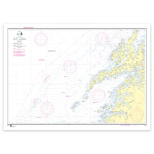
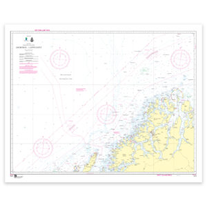
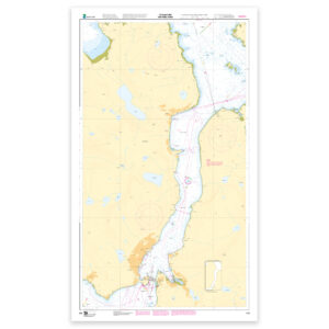
The nautical chart is based on official data from the Norwegian Mapping Authority and is designed for those who want quality, precision and up-to-date map information.
For many, 125-gram map paper is the right choice when the map is primarily intended as a backup, while 180-gram map paper is the best option for active navigation and notes along the way. Tyvek is made for rough conditions and can withstand both water and rough handling. Art paper is a good choice when the map is to be framed or used as a wall map, and gives a more exclusive finish.
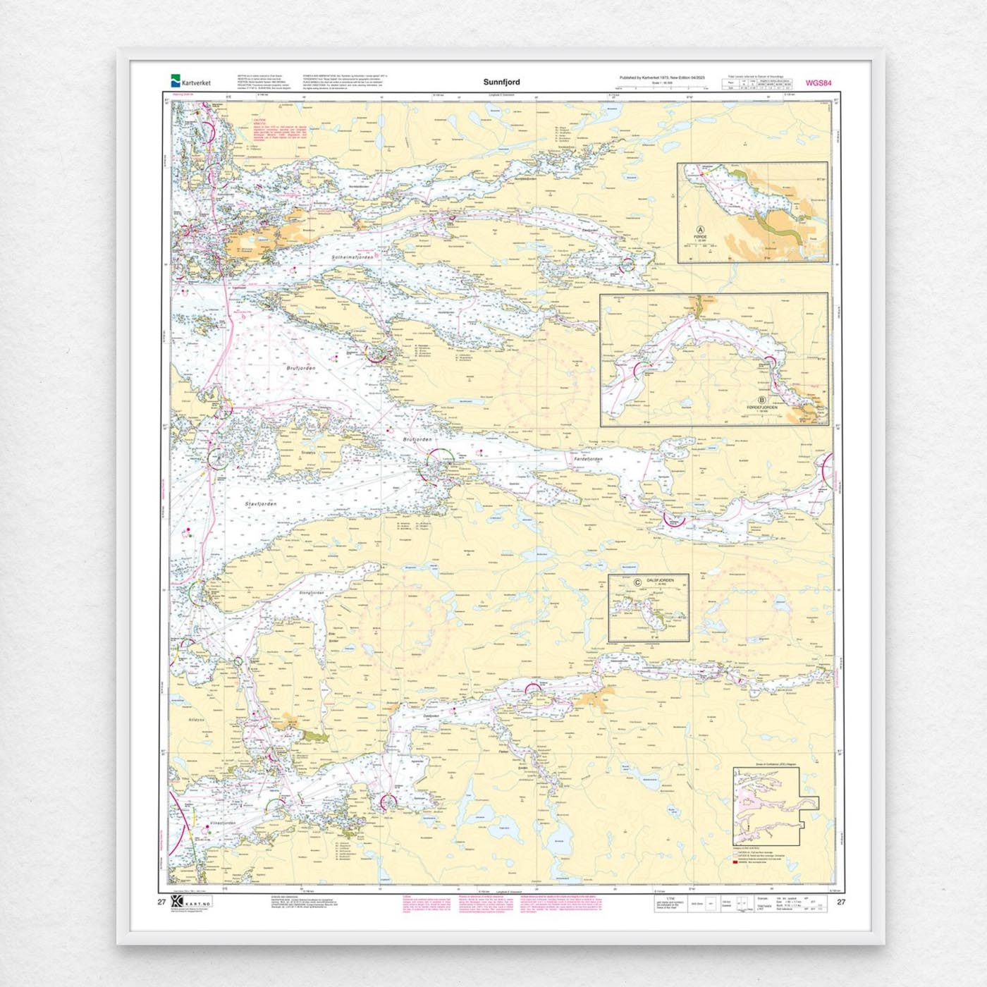
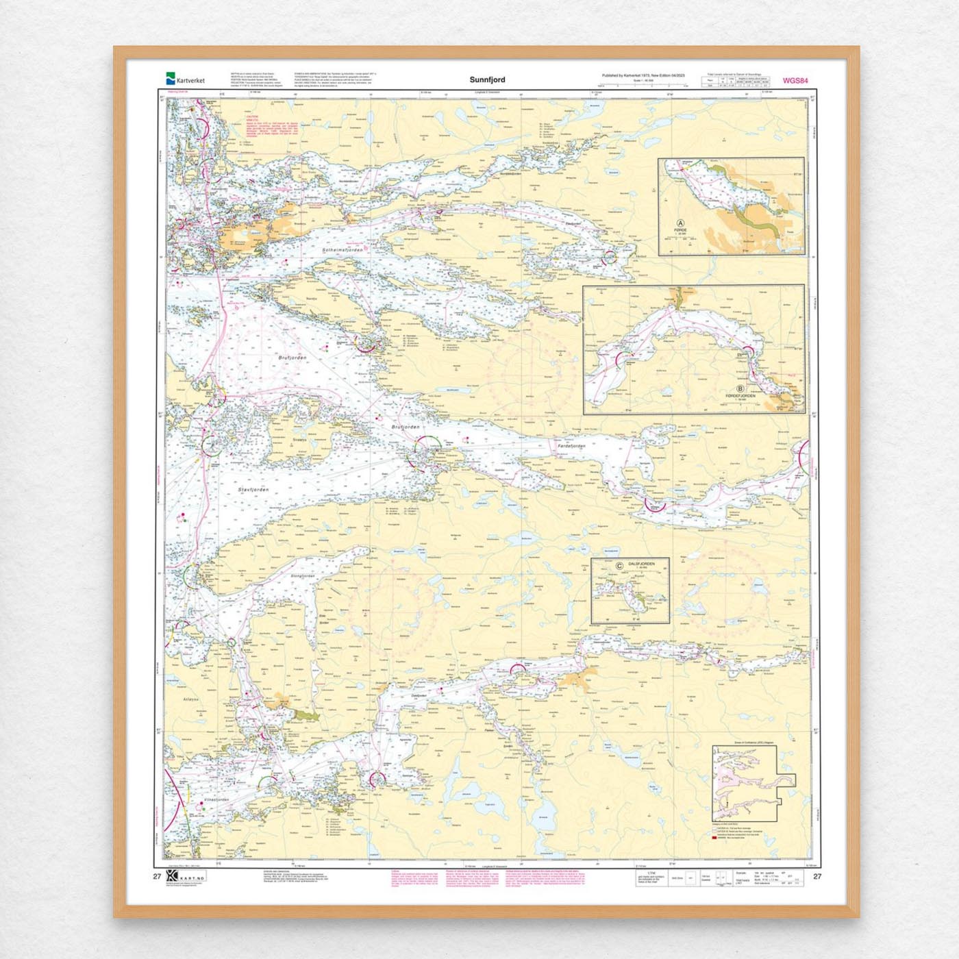
If you want a ready-to-hang solution, the map can be delivered pre-framed or mounted on aluminum plate. This also makes it well suited as a wall map. Size with passepartout and frame is 122 x 107 cm.