Description
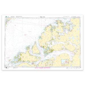
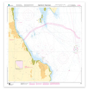
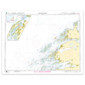
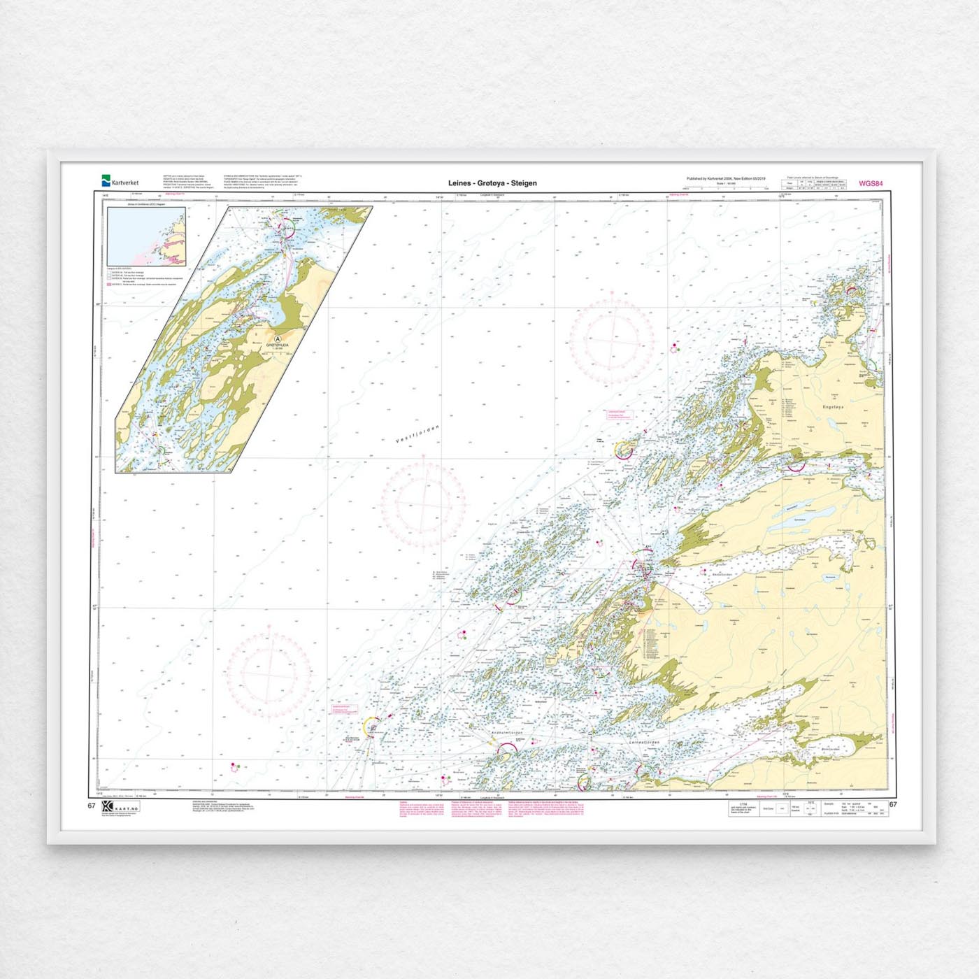
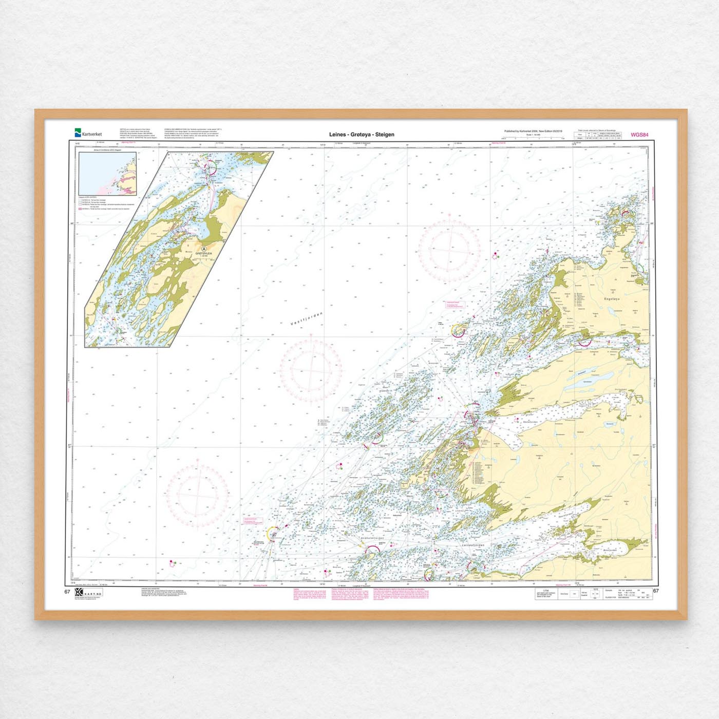
Nautical chart covering the waters Leines – Grøtøya – Steigen. Map sheet 67 in the Norwegian Mapping Authority’s main map series. The map is 84 x 109 cm and has a scale of 1:50,000. Can also be delivered on a plate or framed. Size with passepartout and frame is 105 x 129 cm.
This is a detailed nautical chart of Leines – Grøtøya – Steigen, well suited for both navigation, trip planning and overview on board. The coverage is particularly useful if you are looking for nautical charts for this particular area and want a clear overview of local waters and nearby coastlines.
Map sheet 67 in the Norwegian Mapping Authority’s main map series. With a scale of 1:50,000 and a size of 84 x 109 cm, you get a nautical chart that is easy to read and well suited for both use and overview. This nautical chart is produced when ordered, so you get a fresh edition with updated information from the Mapping Authority.
The map base is based on official data from the Swedish Mapping Authority, making this a reliable choice for those who want up-to-date nautical charts.
For many, 125-gram map paper is the right choice when the map is primarily intended as a backup, while 180-gram map paper is the best option for active navigation and notes along the way. For rougher conditions, there’s Tyvek, a water- and tear-resistant material that can withstand moisture and hard use. If you want the map to be wall-mounted or framed, cotton-based rag paper is an exclusive alternative with a beautiful structure and very long life.
In addition, the map can be delivered with a frame or on an aluminum plate, ready to hang up as a practical and decorative map. Size with passepartout and frame is 105 x 129 cm.