Description
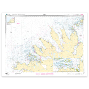
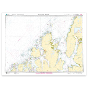
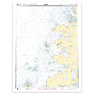
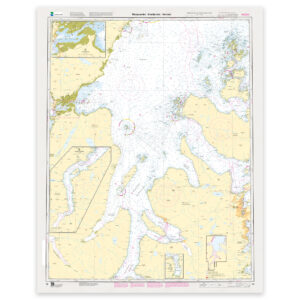
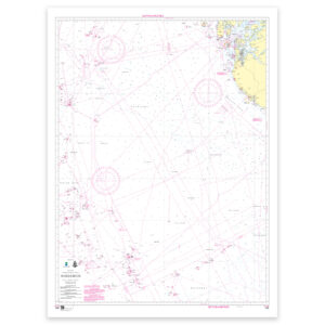
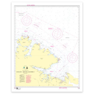
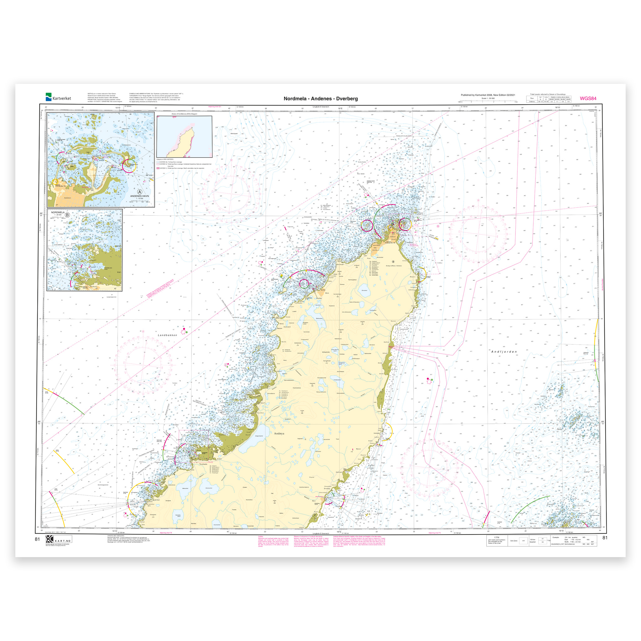
Nautical chart covering the waters Nordmela – Andenes – Dverberg. Map sheet 81 in the Norwegian Mapping Authority’s main map series. The map is 86 x 111 cm and has a scale of 1:50,000. Can also be delivered on a plate or framed. Size with passepartout and frame is 107 x 131 cm.
This is a detailed nautical chart of Nordmela – Andenes – Dverberg, well suited for both navigation, trip planning and overview on board. The coverage is particularly useful if you are looking for nautical charts for this particular area and want a clear overview of local waters and nearby coastlines.
Map sheet 81 in the Norwegian Mapping Authority’s main map series. This map has a scale of 1:50,000 and a size of 86 x 111 cm, which provides good legibility in the area. This nautical chart is produced when ordered, so you get a fresh edition with updated information from the Norwegian Mapping Authority.
Based on official data from the Swedish Mapping Authority, the map provides a safe and reliable basis for navigation and planning.
The choice of material can be adapted to the application. 125 gram map paper is thin, matt and space-saving, and is ideal as a spare map. 180-gram chart paper is a carefully selected, matt and sturdy paper that is ideal for active use on board. For rougher conditions, there’s Tyvek, a water- and tear-resistant material that can withstand moisture and hard use. If you want to use the map for walls or framing, cotton-based rag paper is an exclusive alternative with a beautiful structure and very long life.
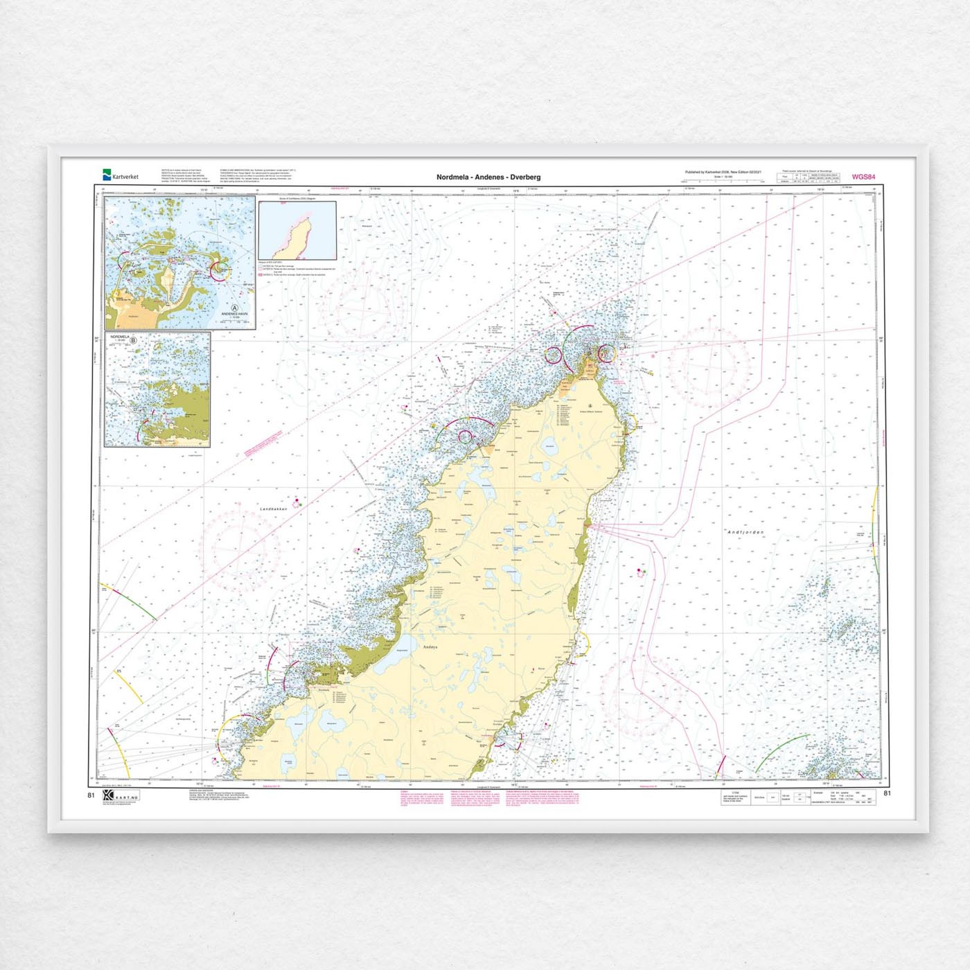
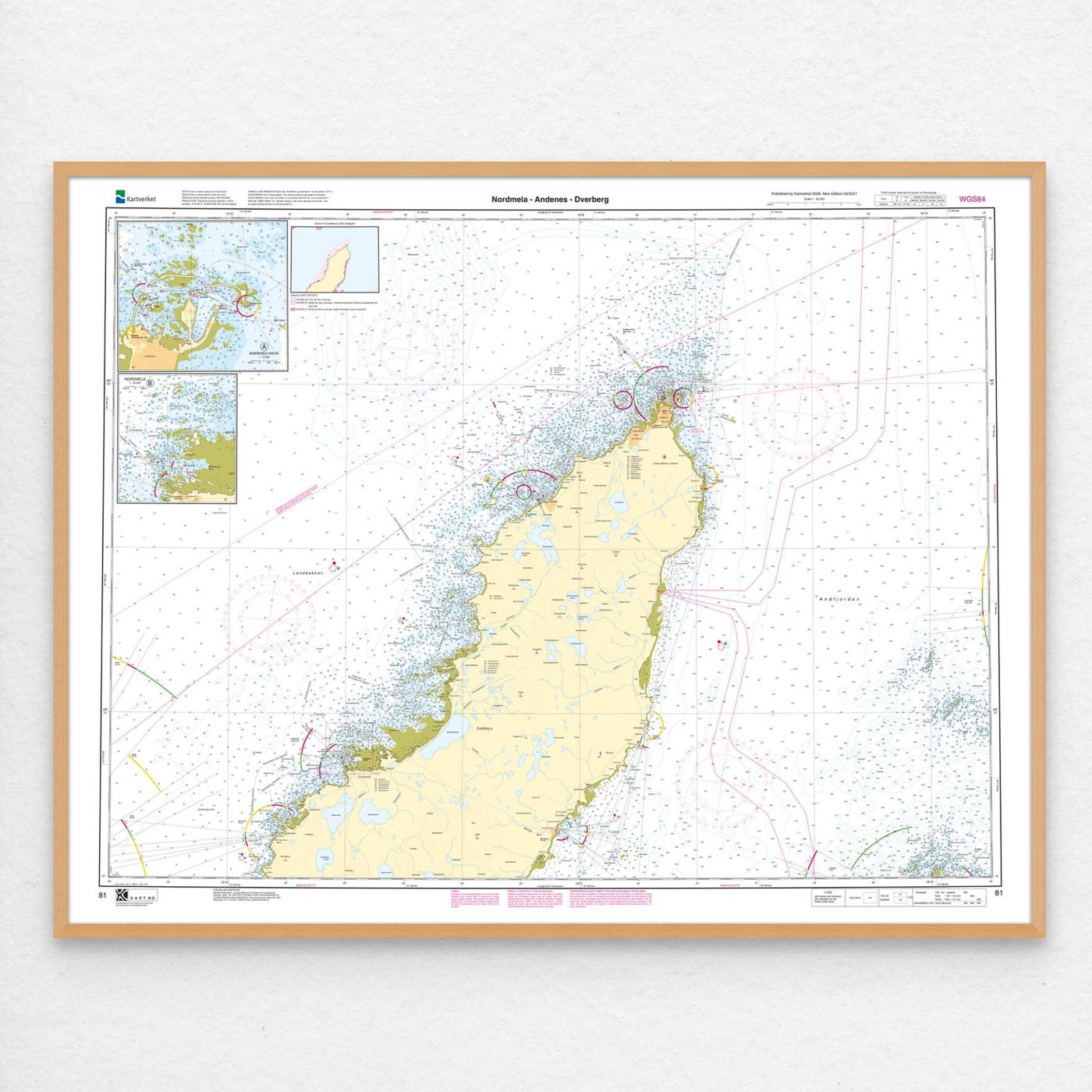
In addition, the map can be delivered with a frame or on an aluminum plate, ready to hang up as a practical and decorative map. Size with passepartout and frame is 107 x 131 cm.