Description
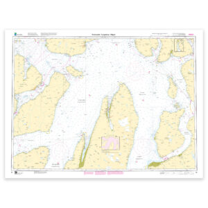
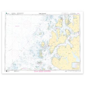
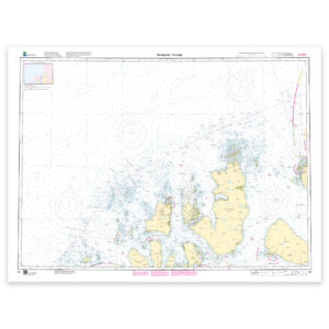
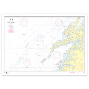
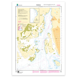
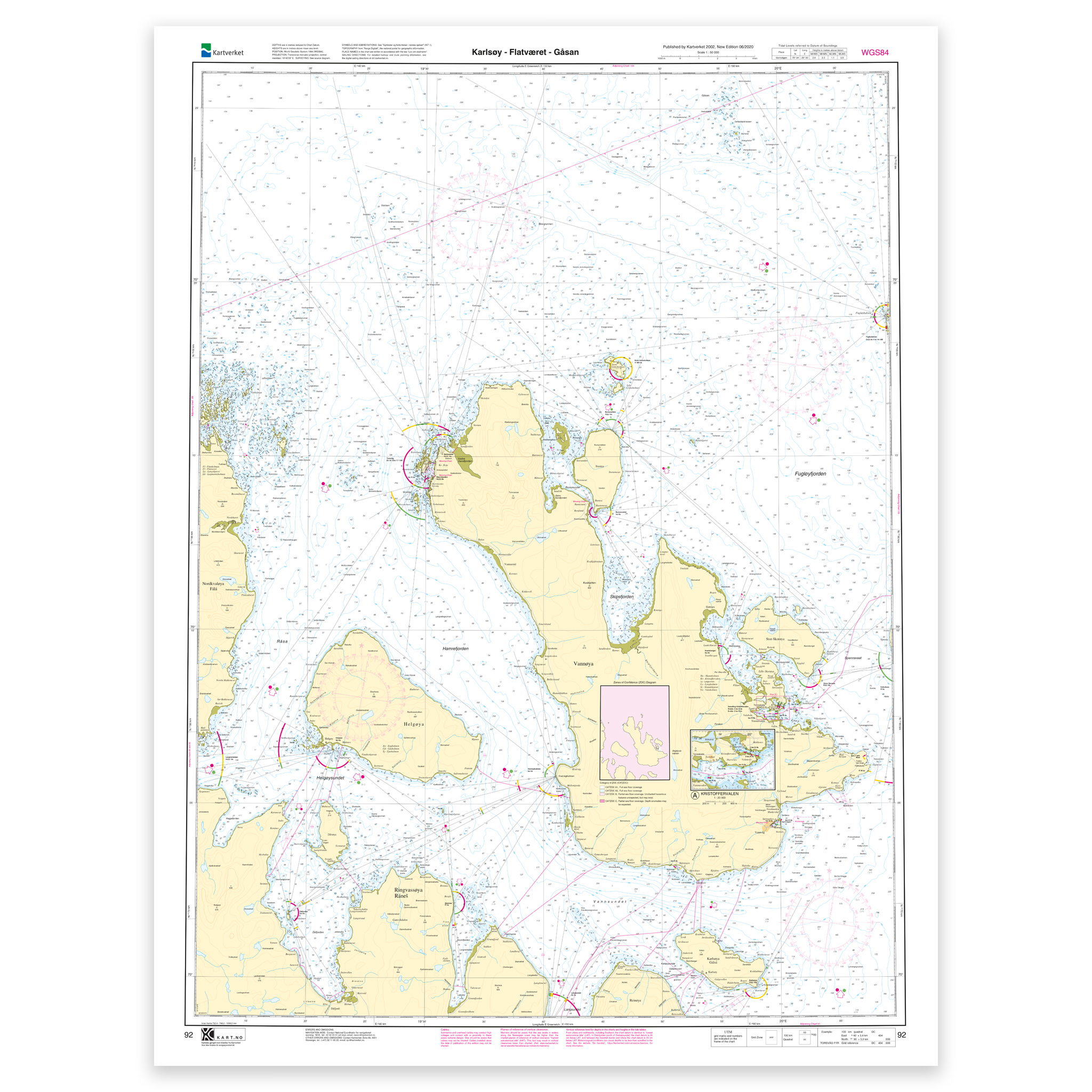
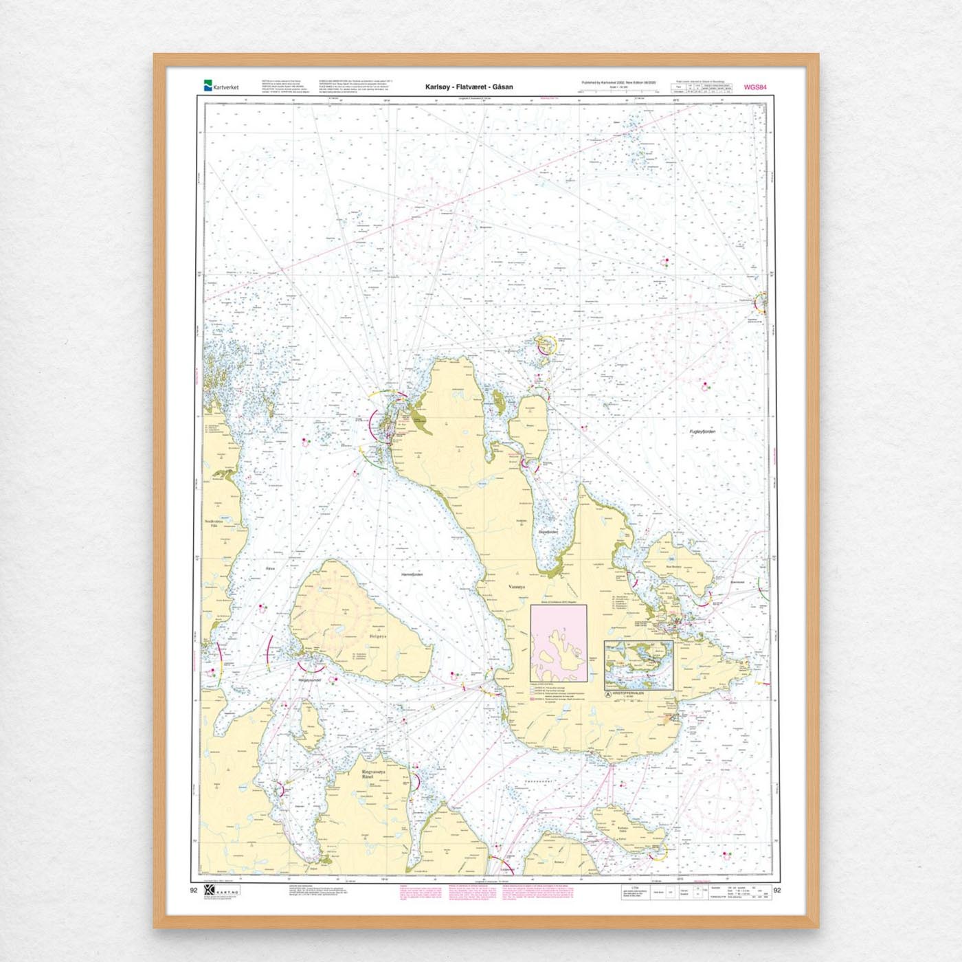
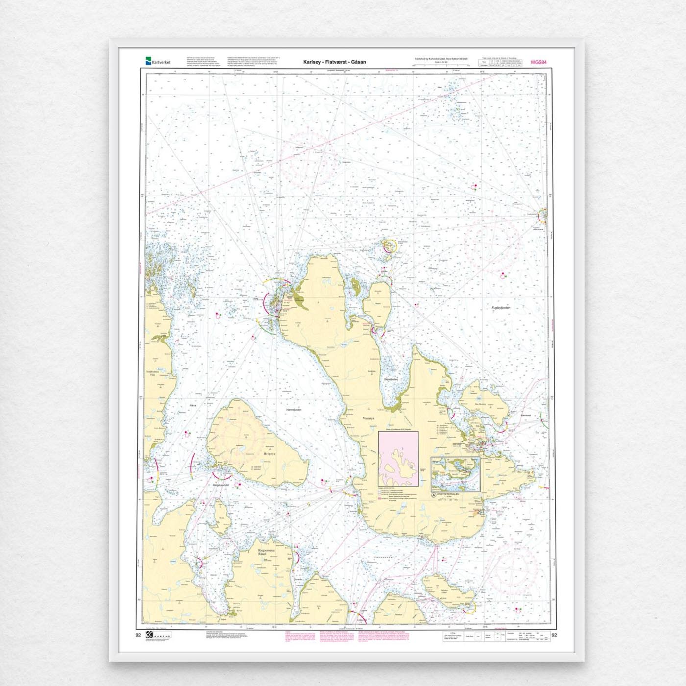
Nautical chart covering the waters Karlsøy – Flatværet – Gåsan. Map sheet 92 in the Norwegian Mapping Authority’s main map series. The map is 112 x 86 cm and has a scale of 1:50,000. Can also be delivered on a plate or framed. Size with passepartout and frame is 133 x 106 cm.
For the waters around Karlsøy – Flatværet – Gåsan, this chart is a solid tool for both planning and safe navigation. The coverage is particularly useful if you’re looking for charts for this particular area and want a clear overview of local waters and nearby coastlines.
Map sheet 92 in the Norwegian Mapping Authority’s main map series. With a scale of 1:50,000 and a size of 112 x 86 cm, you get a nautical chart that is easy to read and suitable for both use and overview. Since the map is printed when ordered as print-on-demand, you will receive a product with the latest available updates from the Mapping Authority.
Based on official data from the Swedish Mapping Authority, the map provides a safe and reliable basis for navigation and planning.
For many, 125-gram map paper is the right choice when the map is primarily intended as a backup, while 180-gram map paper is the best option for active navigation and notes along the way. If the map is to be used in harsh environments, Tyvek is a very durable alternative. For framing and decoration, art paper is an exclusive choice with a clear structure and high quality.
In addition, the map can be delivered with a frame or on an aluminum plate, ready to hang up as a practical and decorative map. Size with passepartout and frame is 133 x 106 cm.