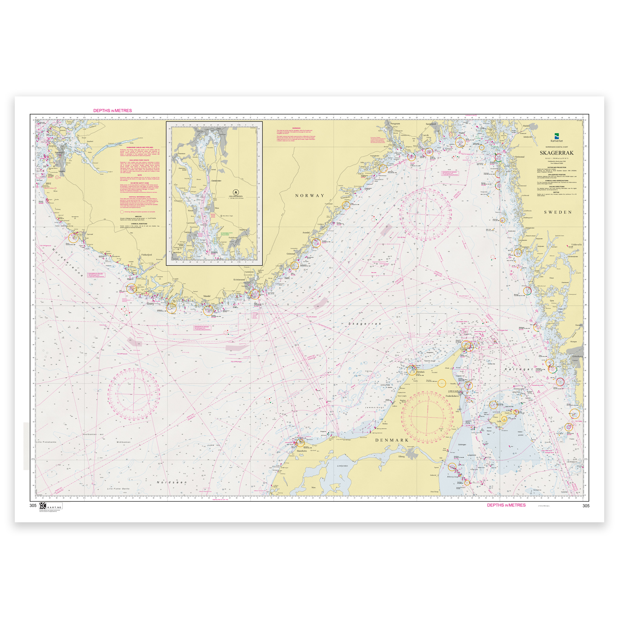
Description
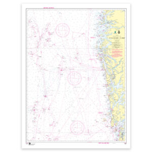
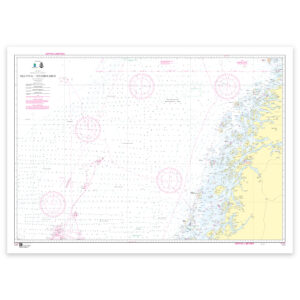
Norwegian Mapping Authority – coastal maps: 305 Skagerak has a scale of 1:350,000. The maps are delivered on a roll in size 119×84 cm cm. Can also be delivered on a plate or framed. Size with passepartout and frame is 129 x 104 cm.
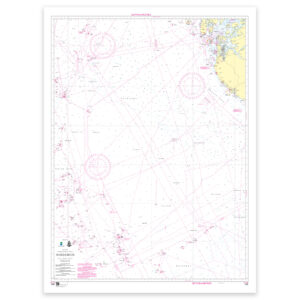
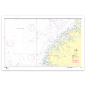
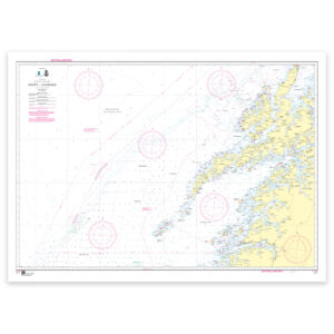
The Skagerrak nautical chart provides a good overview and precise information for safe navigation and planning in the area. The coverage is particularly useful if you are looking for nautical charts for this particular area and want a clear overview of local waters and nearby coastlines.
The map is designed to provide a good combination of overview and level of detail in the area. The map is produced as print-on-demand and is printed when ordered. This means that you get an updated nautical chart based on the latest available data and corrections from the Norwegian Mapping Authority.
The nautical chart is based on official data from the Norwegian Mapping Authority and is designed for those who want quality, precision and up-to-date map information.
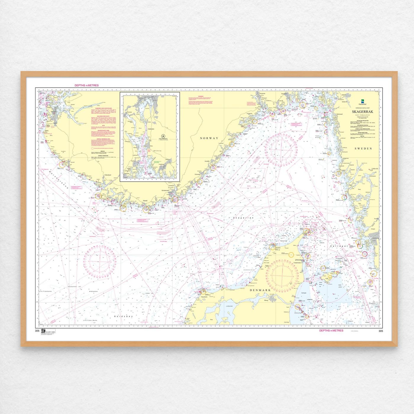
The choice of material can be adapted to the application. 125 gram map paper is thin, matt and space-saving, and is ideal as a spare map. 180-gram map paper is a carefully selected, matt and sturdy paper that is ideal for active map use on board. Tyvek is made for rough conditions and can withstand both water and rough handling. Art paper is a good choice when the chart is to be framed or used as a wall chart, and gives a more exclusive finish.
In addition, the map can be delivered with a frame or on an aluminum plate, ready to hang up as a practical and decorative map. Size with passepartout and frame is 129 x 104 cm.