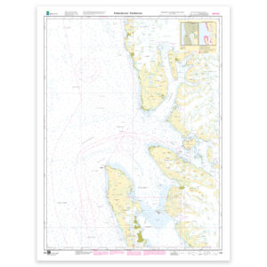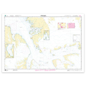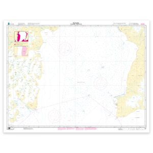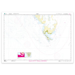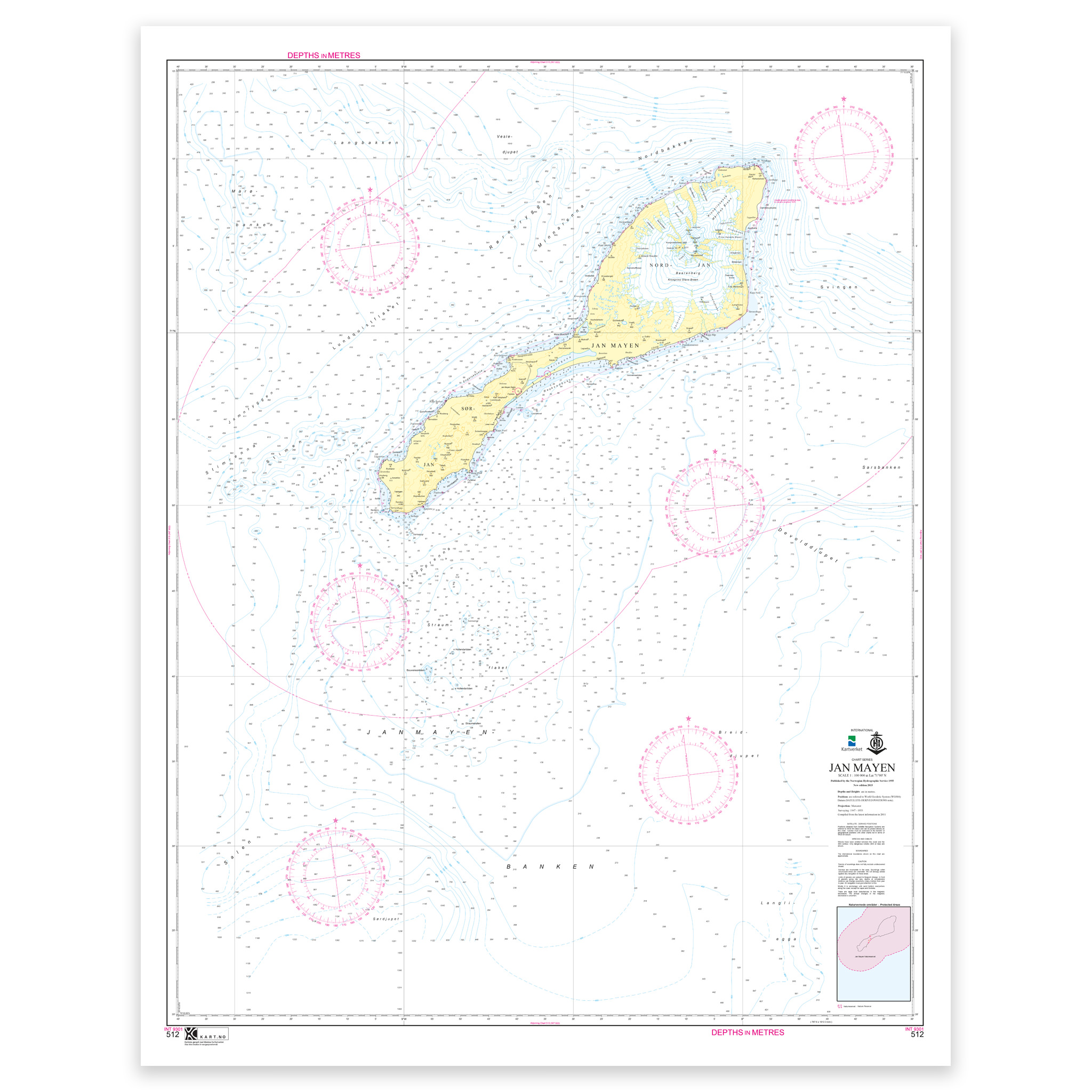
Description
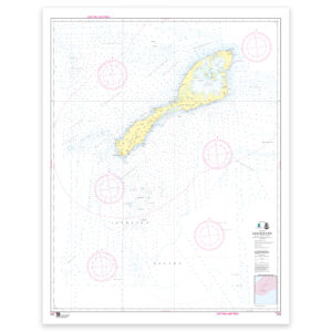
Nautical chart covering the waters of Jan Mayen. Map sheet 512 in the Norwegian Mapping Authority’s Svalbard map series. The map is 113 x 90 cm and has a scale of 1:100,000. Can also be delivered on a plate or fully framed. Size with passepartout and frame is 134 x 110 cm.
This is a detailed nautical chart of Jan Mayen, well suited for both navigation, trip planning and overview on board. The coverage is particularly useful if you are looking for charts for this particular area and want a clear overview of local waters and nearby coastlines.
Map sheet 512 in the Norwegian Mapping Authority’s Svalbard map series. This map has a scale of 1:100,000 and a size of 113 x 90 cm, which provides good legibility in the area. This nautical chart is produced when ordered, so you get a fresh edition with updated information from the Norwegian Mapping Authority.
The nautical chart is based on official data from the Norwegian Mapping Authority and is designed for those who want quality, precision and up-to-date map information.
For many, 125-gram map paper is the right choice when the map is primarily intended as a backup, while 180-gram map paper is the best option for active navigation and notes along the way. If the map is to be used in harsh environments, Tyvek is a very durable alternative. For framing and decoration, art paper is an exclusive choice with a clear structure and high quality.
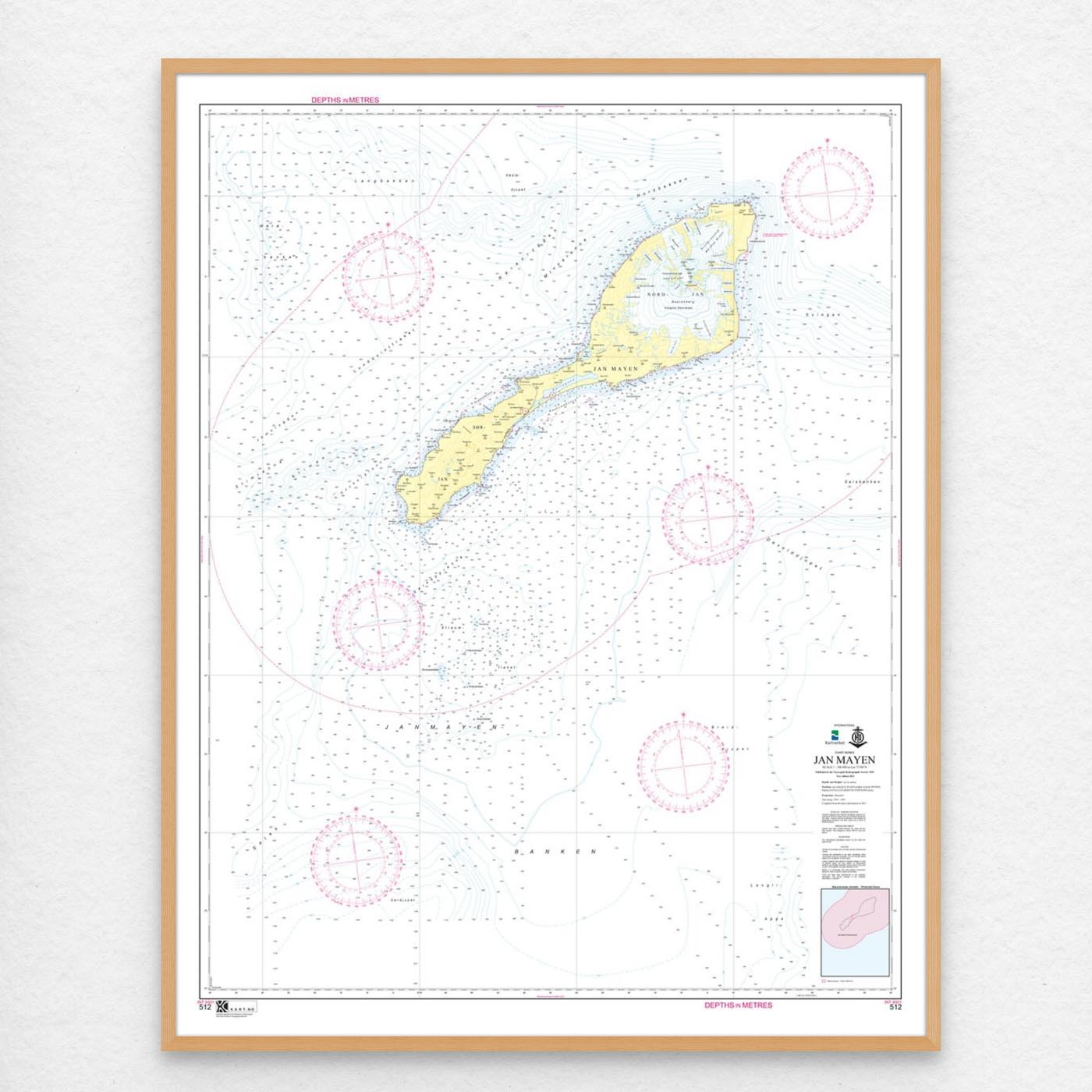
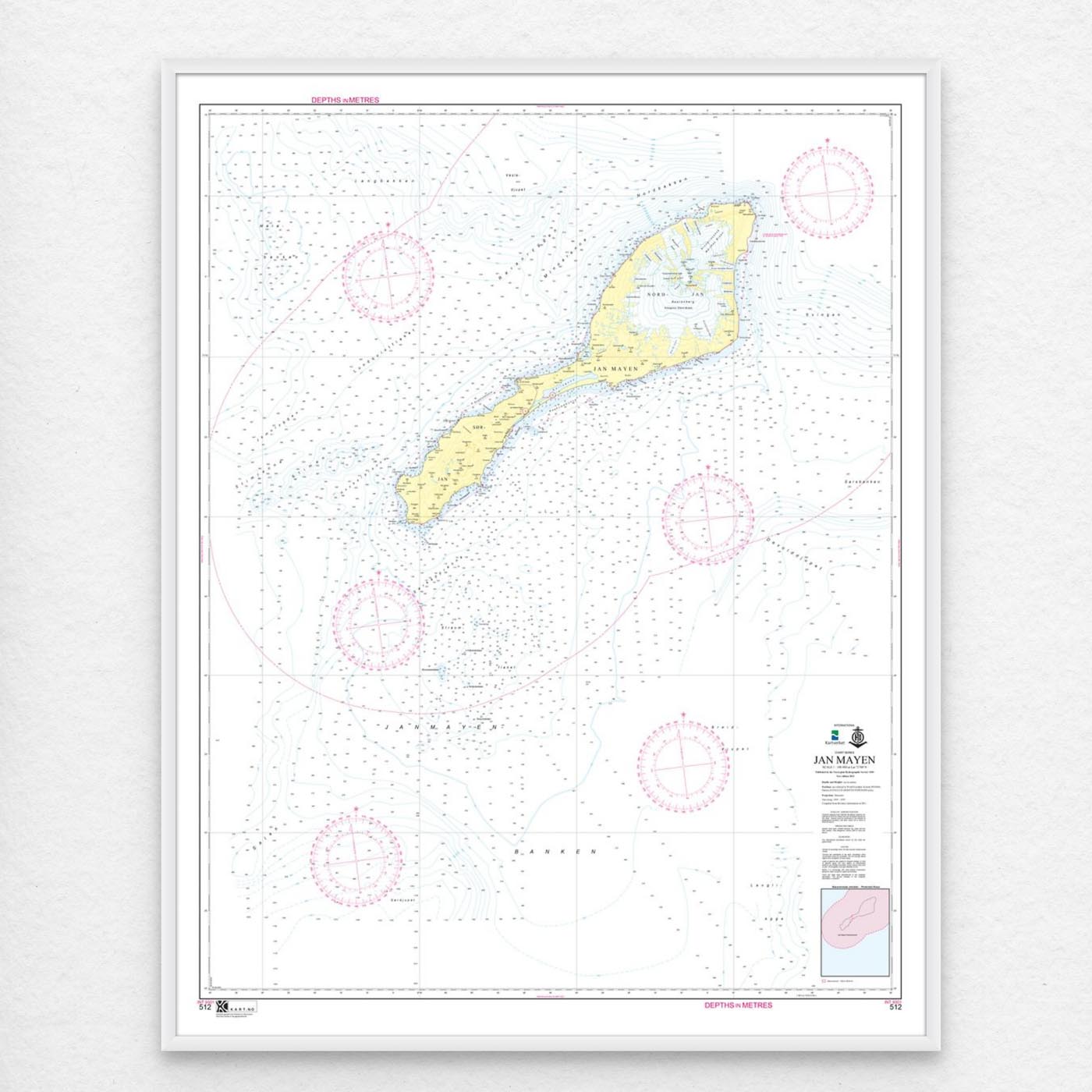
In addition, the map can be delivered with a frame or on an aluminum plate, ready to hang up as a practical and decorative map. Size with passepartout and frame is 134 x 110 cm.