Description
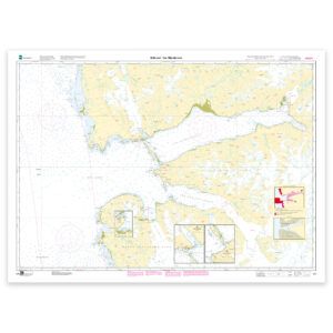
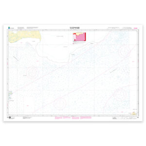
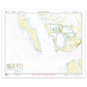
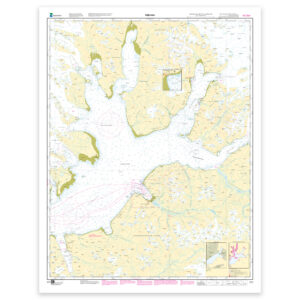
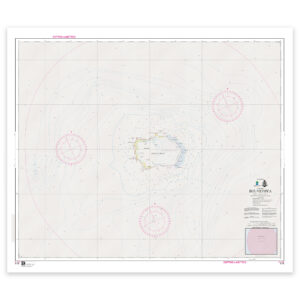
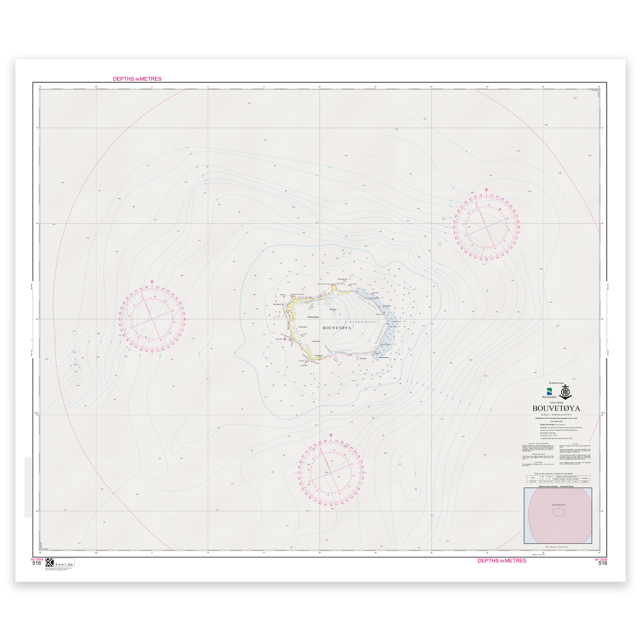
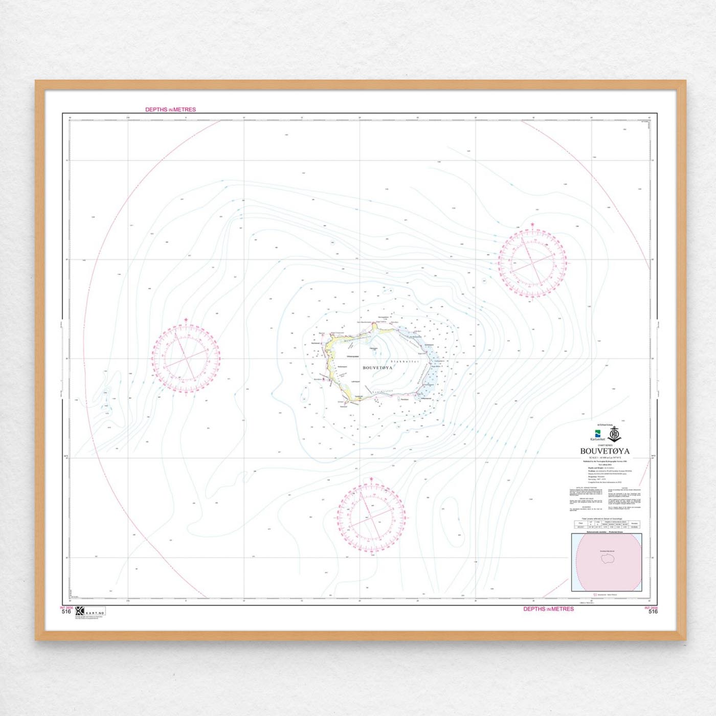
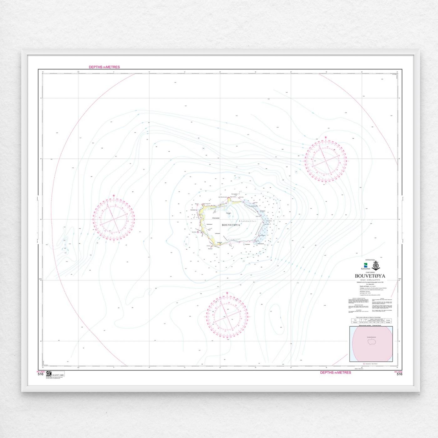
Nautical chart covering the waters of Bouvetøya. Map sheet 516 in the Norwegian Mapping Authority’s Svalbard map series. The map is 101 x 85 cm and has a scale of 1:60,000. Can also be delivered on a plate or framed. Size with passepartout and frame is 122 x 105 cm.
With coverage of Bouvetøya, this is a reliable nautical chart for those who want good control of waters, headlands and coastal areas. The coverage is particularly useful if you are looking for nautical charts for this particular area and want a clear overview of local waters and nearby coastlines.
Map sheet 516 in the Norwegian Mapping Authority’s Svalbard map series. The map has a scale of 1:60,000 and size 101 x 85 cm. Since the map is printed when ordered as print-on-demand, you will receive a product with the latest available updates from the Mapping Authority.
The nautical chart is based on official data from the Norwegian Mapping Authority and is designed for those who want quality, precision and up-to-date map information.
You can choose from several high-quality materials. Map paper 125 grams is a good choice as a backup map because it’s lightweight, takes up little space and is ideal for storing multiple maps. Map paper 180 grams is more robust and best suited for active use, especially when you want to note routes or your own updates in the map. Tyvek is made for rough conditions and can withstand both water and rough handling. Art paper is a good choice when the map is to be framed or used as a wall map, and gives a more exclusive finish.
If you want a ready-to-hang solution, the map can be delivered framed or mounted on aluminum plate. This also makes it suitable as a wall map. Size with passepartout and frame is 122 x 105 cm.