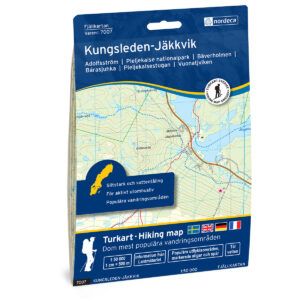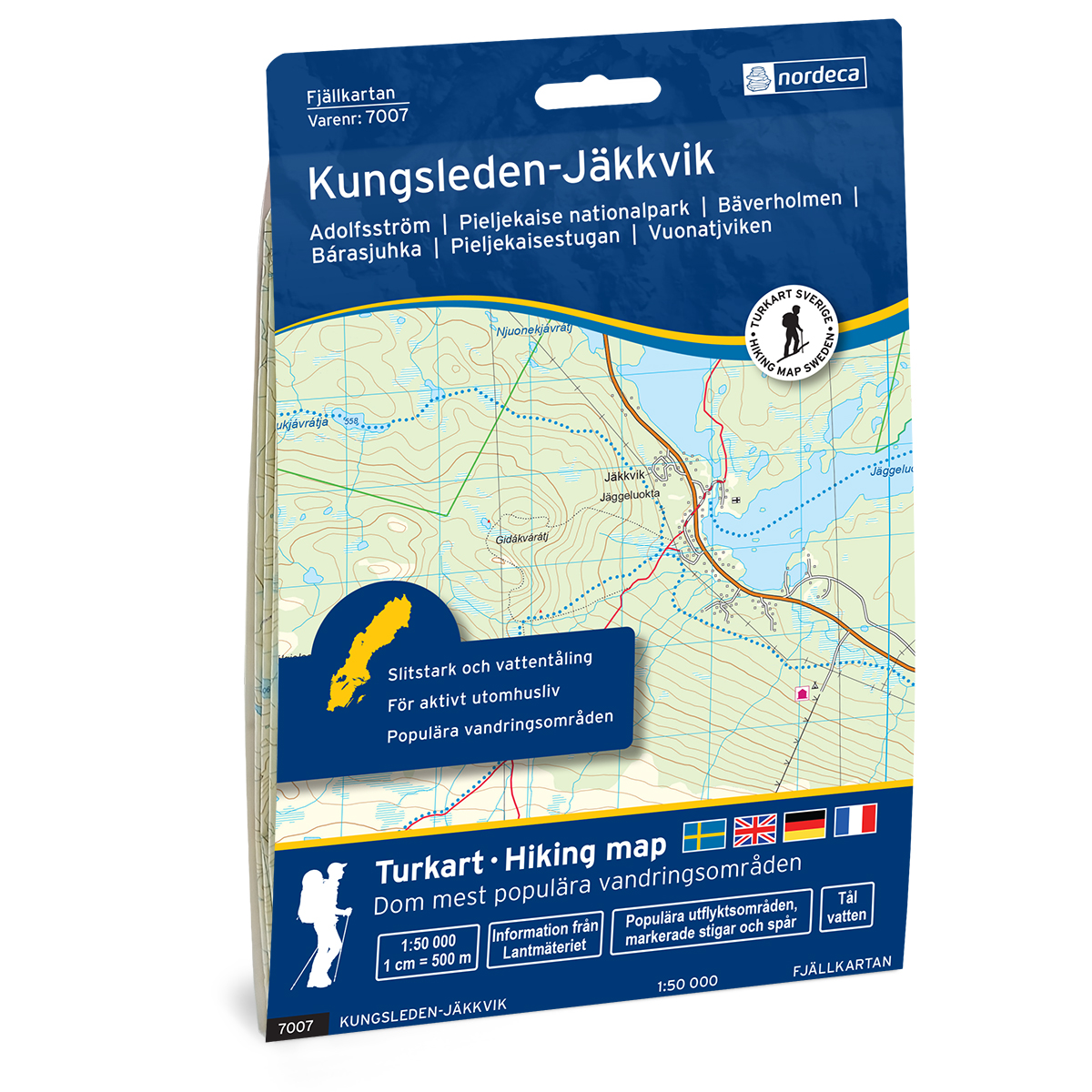
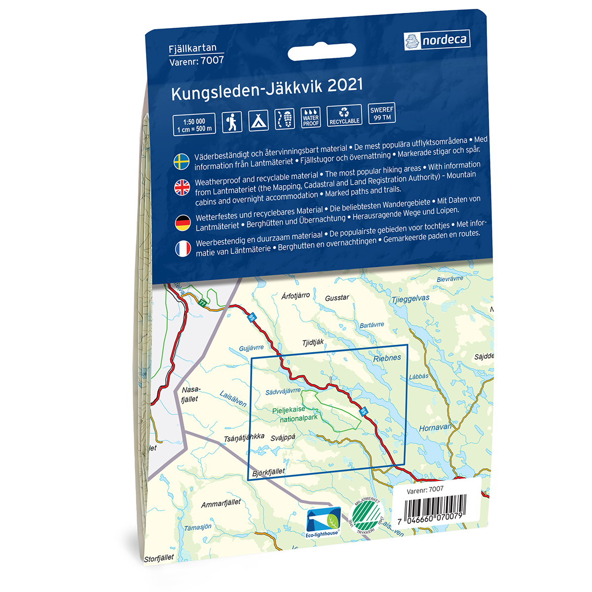
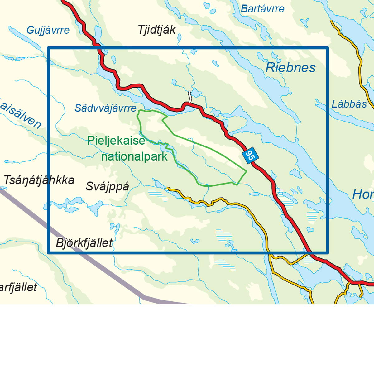
Description
This map covers the area Kungsleden-Jäkkvik 150 000 Svensk Fjellkart and was developed by Nordic Maps (formerly Nordeca) for practical use in mountain travel and planning. The map provides a clear representation of terrain, trails, water and key landscape elements, and is adapted for active outdoor life in Nordic conditions.
The map is printed at a scale of 1:50,000 and is printed on water-resistant and durable map paper that can withstand tough use in the mountains. The good readability makes the map well suited for both planning and use during a trip.
The map is released in 2021. Although some details may have changed since its publication, the map still provides a reliable and clear basis for travel in the area.
The map covers locations such as Adolfsström, Bäverholmen, Bárasjuhka, Vuonatjviken, Gautosjö, Björklund, Jutis and Jäkkvik.