
Description
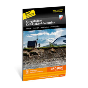
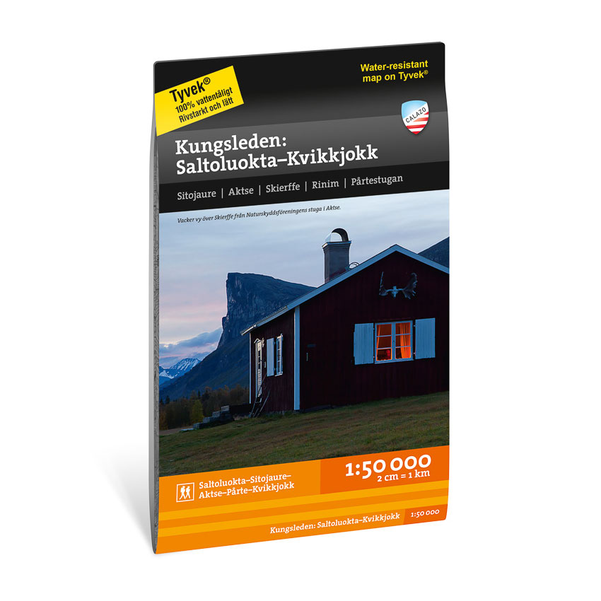
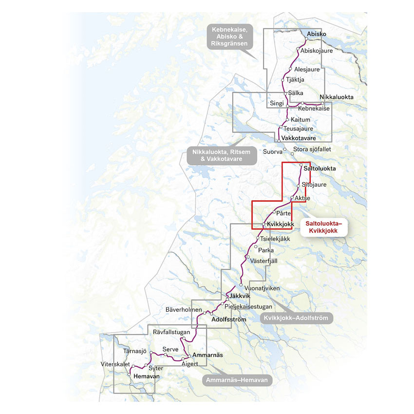
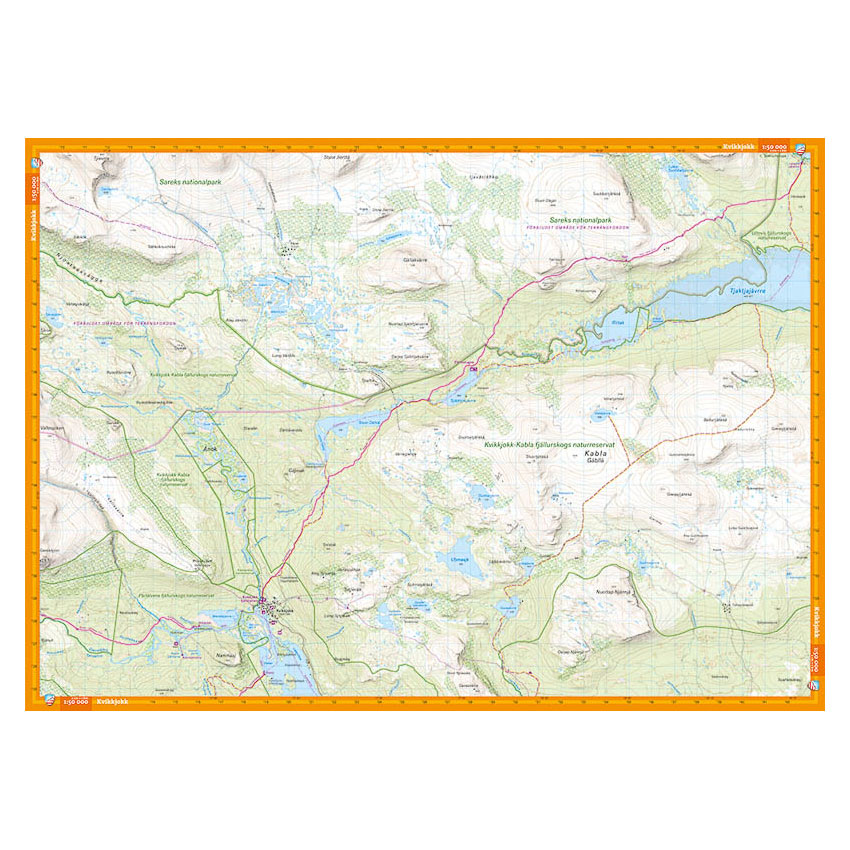
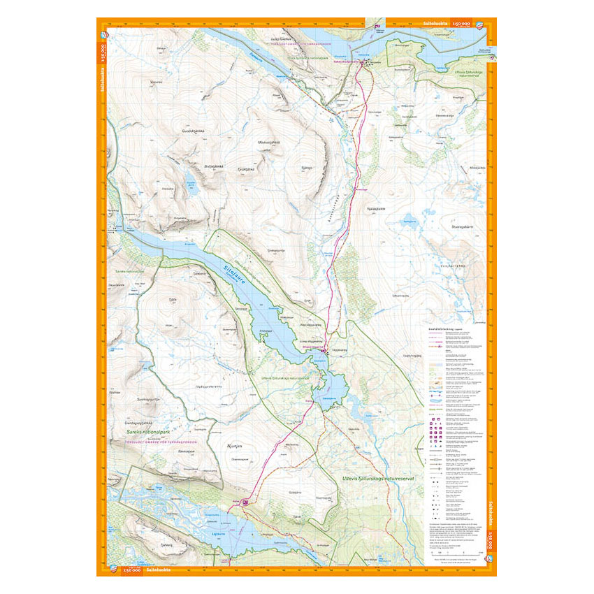
This hiking map covers the King’s Trail between Saltoluokta mountain station and Kvikkjokk, a central part of the trail through Swedish Lapland. The area offers open plains, lakes and classic high mountain terrain with long stages between mountain lodges.
The map is part of Calazo’s series covering the entire Kungsleden trail from Abisko in the north to Hemavan in the south. If you want to continue south towards Jäkkvik and Adolfström, the map can be combined with Kungsleden: Kvikkjokk – Adolfström 1:50,000.
The terrain information is based on airborne laser scanning, which provides precise contour lines (10-meter range) and clear reproduction of waterways, steep slopes, paths and vegetation.
The map is at a scale of 1:50,000, which is the most common scale for longer mountain hikes. At this scale, 2 cm on the map corresponds to 1 km in the terrain, which provides a good balance between overview and detail.
The map is printed on durable and water-repellent material (Tyvek), which can withstand active use in demanding conditions.
Calazo Förlag is a Swedish publishing house specializing in maps and books for outdoor life in the Nordic region.
The map is released in 2025.