Description
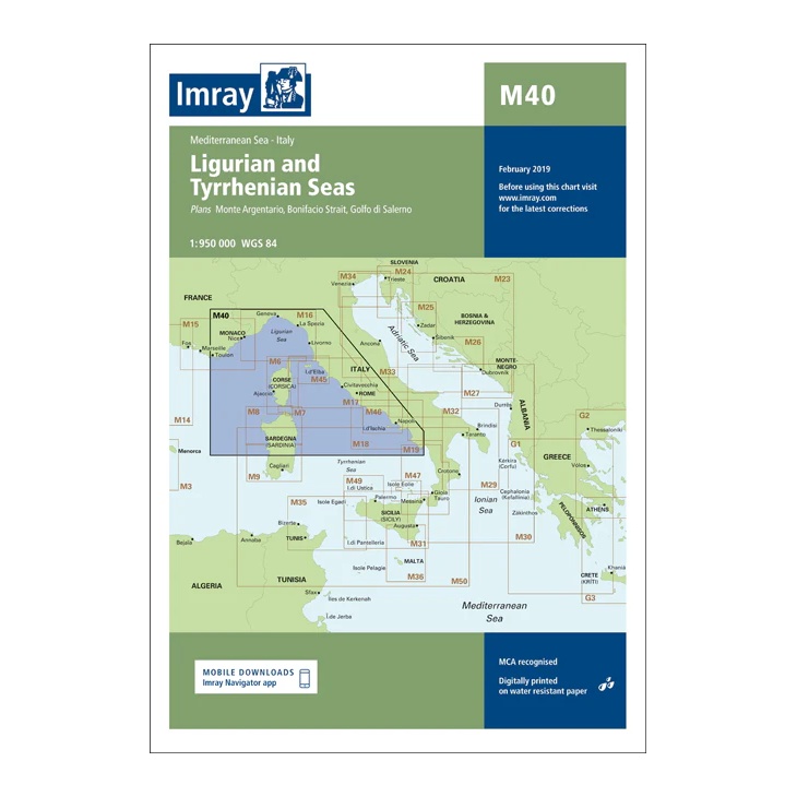
This chart from Imray covers the Ligurian and Tyrrhenian Seas and provides a good overview of key sailing areas along the west coast of Italy. The chart includes the stretches from the French Riviera and Monaco in the north, via Tuscany and Lazio, to Campania and Sicily in the south.
The chart is intended for planning and overview navigation, clearly showing main routes, sea areas and adjacent chart sheets. It serves as a useful supplement to more detailed coastal and harbor charts for sailors navigating the Western Mediterranean.
Printed on water-resistant paper and produced according to MCA-approved standards, with the option of digital updates via the Imray Navigator app.