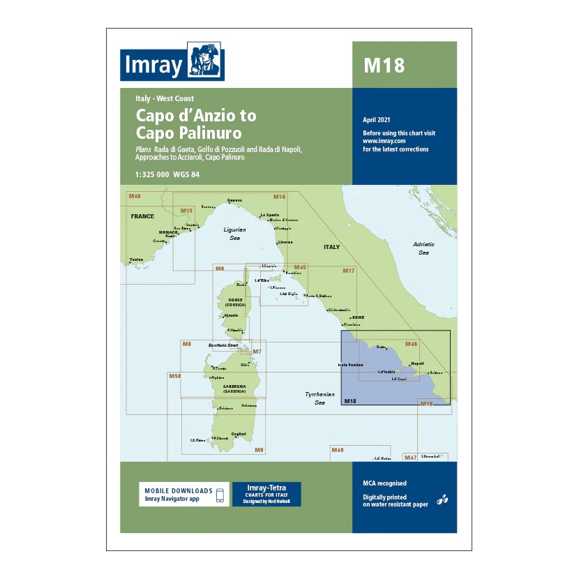
Description
Covering the west coast of Italy from Capo d’Anzio to Capo Palinuro, this overview chart from Imray provides a clear regional overview of the sailing areas in the Tyrrhenian Sea. The map includes plan views and approaches to Rada di Gaeta, Golfo di Pozzuoli, Naples, Acciaroli and Capo Palinuro, among others.
Developed for passage and route planning, the map serves as an important link between the Imray maps for central and southern Italy. It is a useful supplement to more detailed coastal and harbor charts, especially for longer journeys along the Italian west coast.
Printed on water-resistant paper and produced to MCA-approved standards, with support for digital updates via the Imray Navigator app.