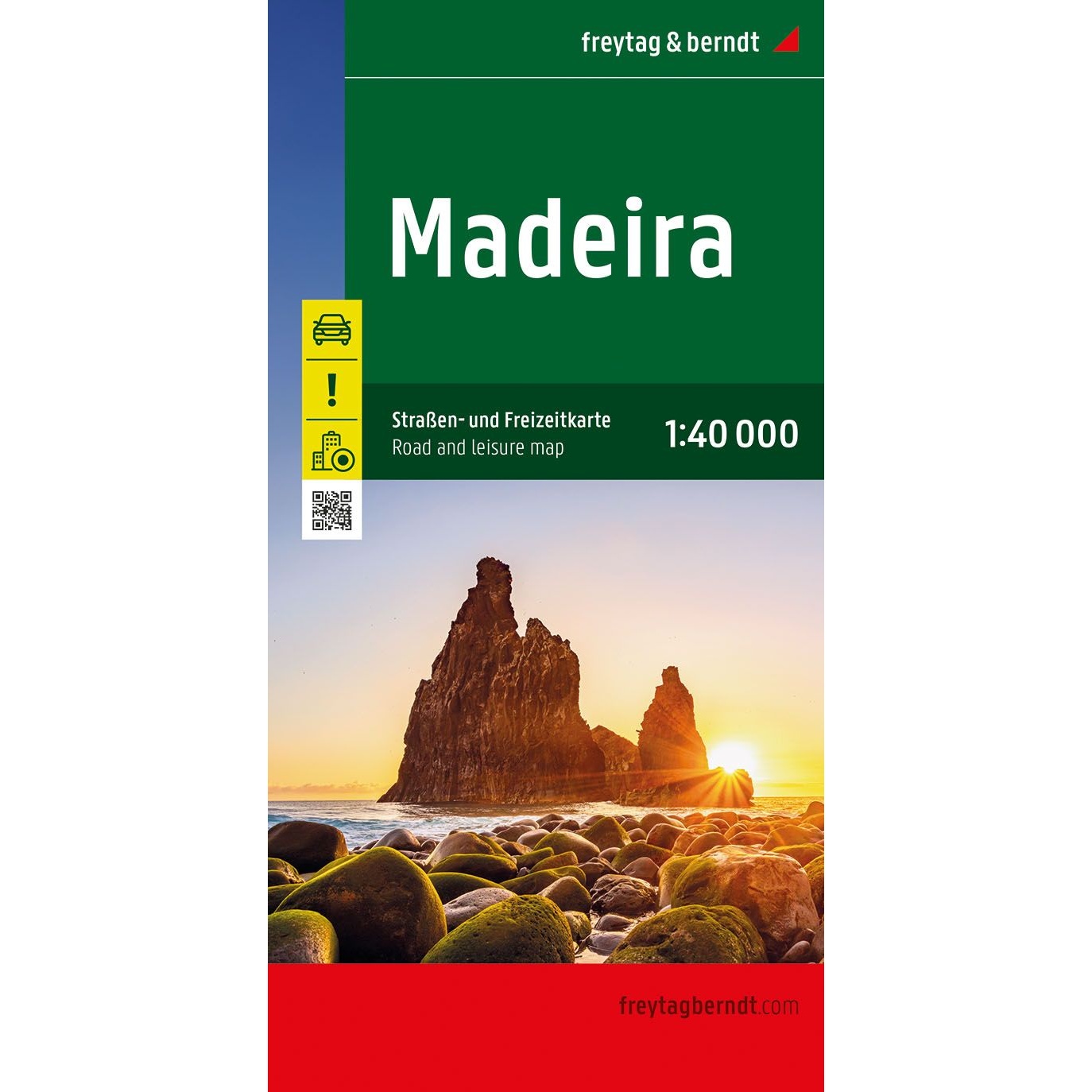


Description
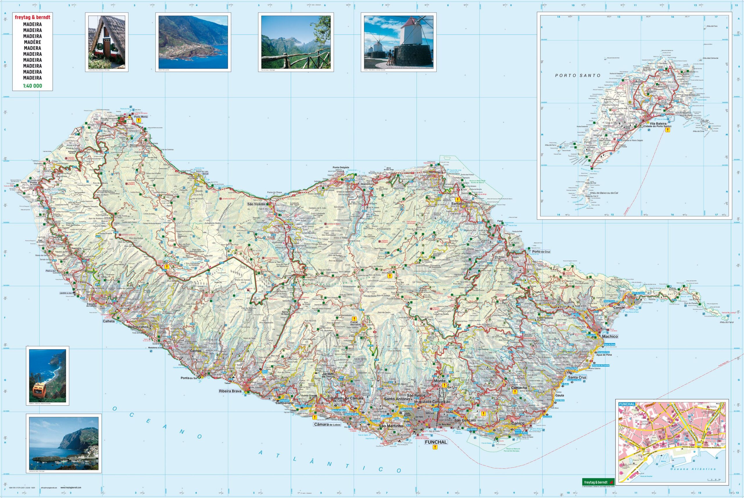
This is a detailed and versatile road map of Madeira, designed for travelers who want a good overview and safe orientation on the island. Showing the entire road network at a scale of 1:40,000, the map is suitable for use by car, motorcycle or motorhome, while also providing useful support for hiking and excursions off the main roads.
The map is clear and easy to read, with marked main roads, minor roads and railroads, as well as highlighted scenic stretches and particularly noteworthy excursion destinations. Hiking routes and longer hiking trails are also marked, making the map useful for both driving and lighter outdoor activities. Campsites, viewpoints and other important points of interest are marked, and an extensive place index with postcodes makes it easy to find specific places.
The map also includes a separate city map of Funchal to help you navigate the urban areas. In addition, there is a small information booklet presenting the main attractions of Madeira, with short descriptions in several languages. The map is supplied in a large format, providing a good balance between detail and overview.
The map is printed in Austria with high cartographic quality and is well suited for both planning and practical use during your stay in Madeira.
The map is published in 2024.