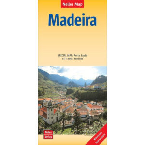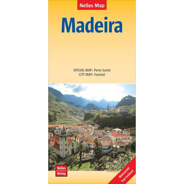
Description
This detailed road map of Madeira from Nelles Maps is designed for travelers who want a durable and accurate map for use both on the road and in the field. The map is printed on Polyart material, making it both water and tear resistant, and well suited for active use in varying weather conditions.
The map provides a clear representation of the Madeira road network with terrain shading making the landscape easy to read and understand. In addition, the map includes a separate overview map section for Porto Santo as well as a city map of Funchal, adding extra value for both planning and on-the-ground use.
Tourist attractions are marked directly on the map and distances are indicated in kilometers. This makes the map suitable for both car use and general orientation on the island.
The map is multilingual and marked in German, English and French.
The map is published in 2019 by KOMPASS freytag & berndt.