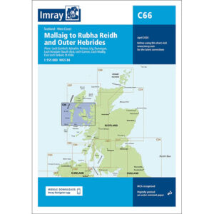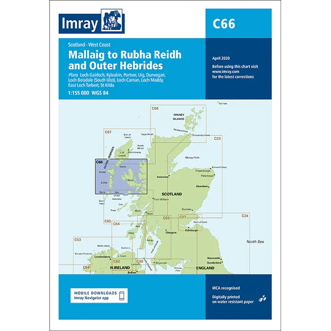
Description
This boating chart covers the stretch from Mallaig to Rubha Reidh along the west coast of Scotland, as well as parts of the Outer Hebrides. The chart has been developed for recreational boating and sailing navigation in an area characterized by open seas, island waters and weather-prone coastal areas.
The map provides an overview of coastlines, islands, straits and important approaches, and is ideal for route planning and overview navigation both along the mainland coast and between the islands of the Hebrides. It is often used in combination with more detailed local charts for safe navigation in an area with strong currents and rapidly changing weather conditions.
Imray is a renowned British chart manufacturer with extensive experience in nautical charts and publications for leisure boats. Their charts are designed with practical on-board use in mind, combining clear cartography with reliable nautical information for sailors and powerboaters.