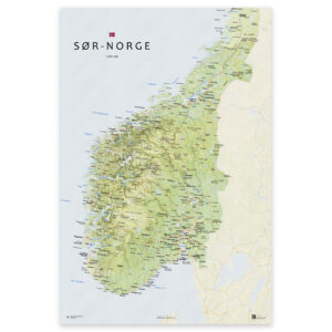
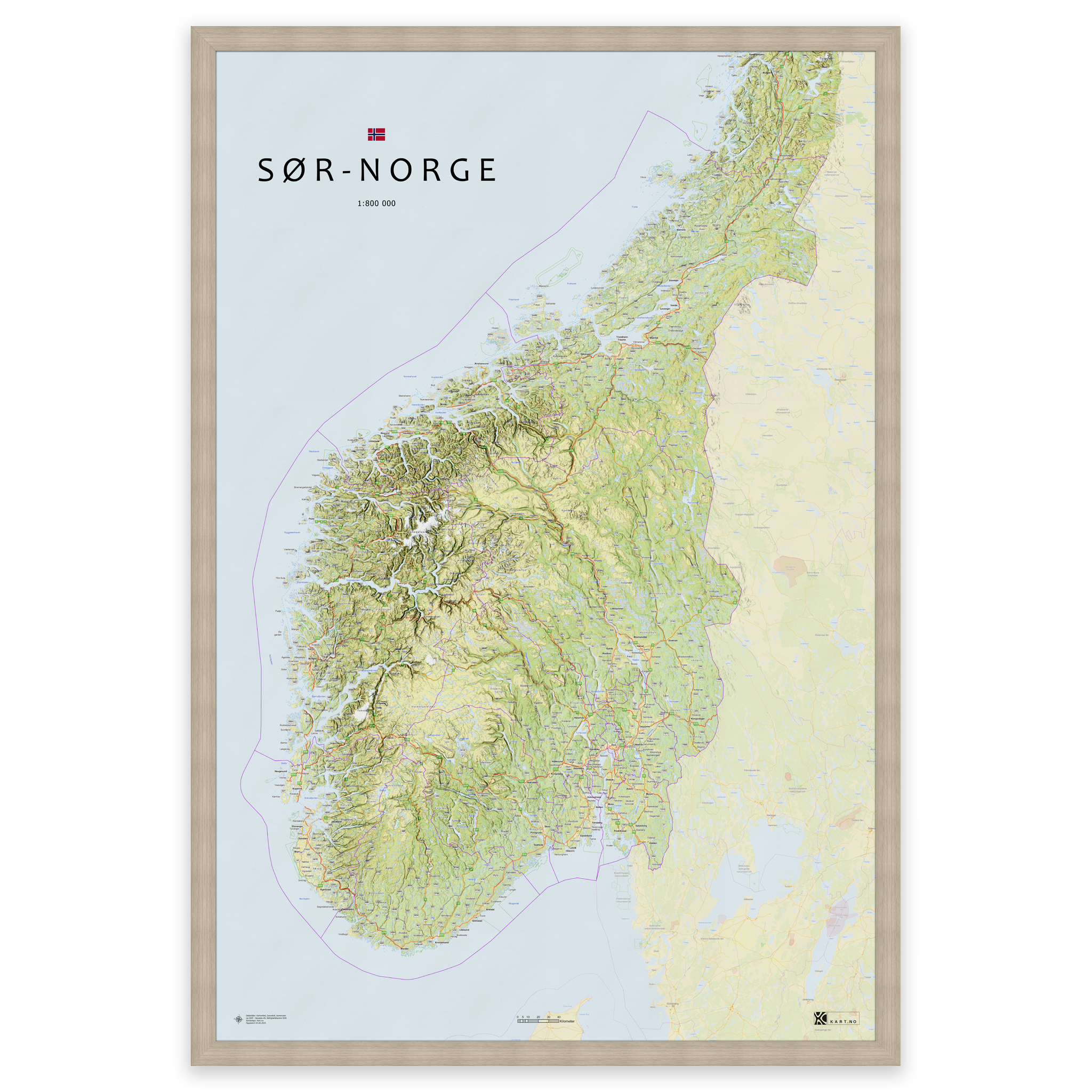
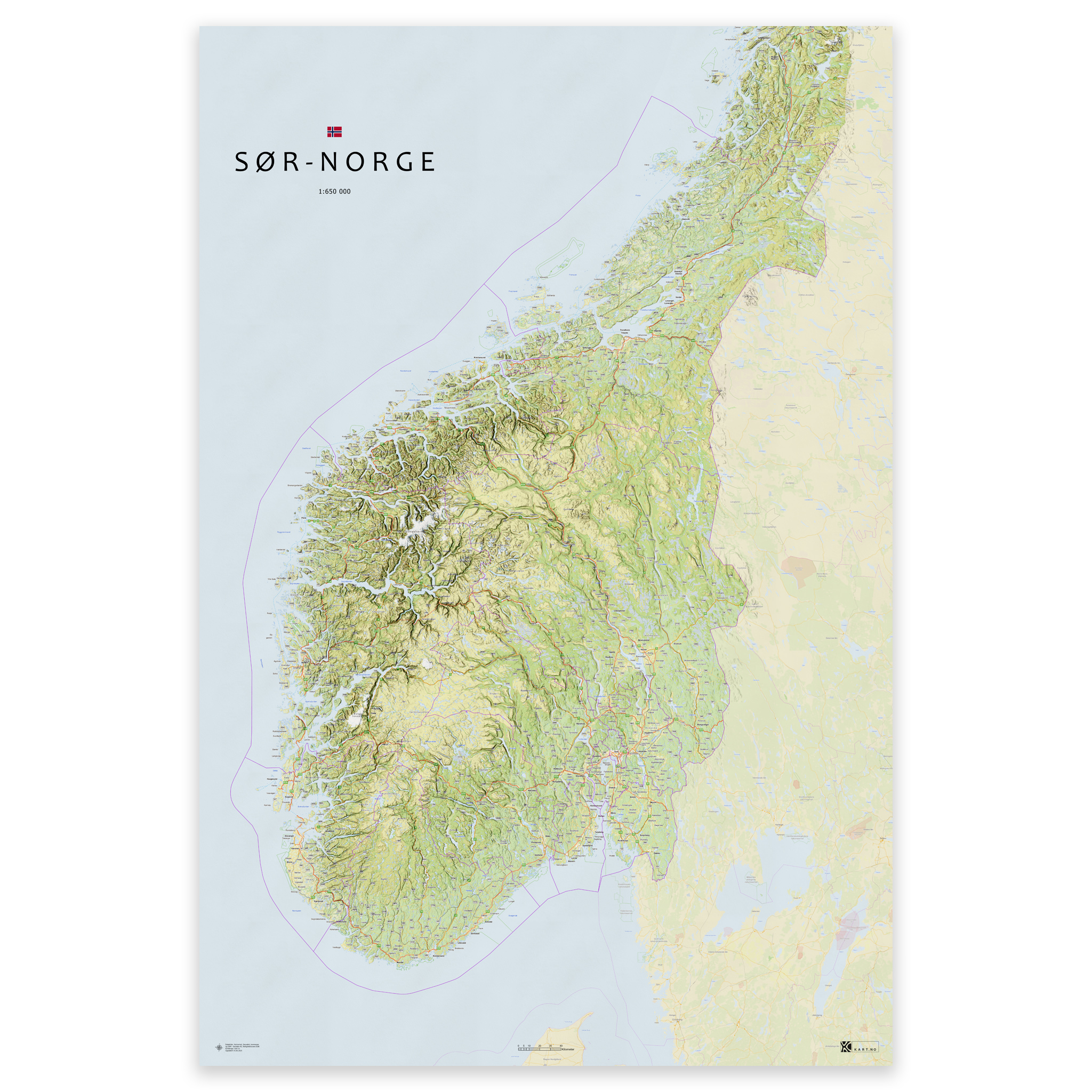
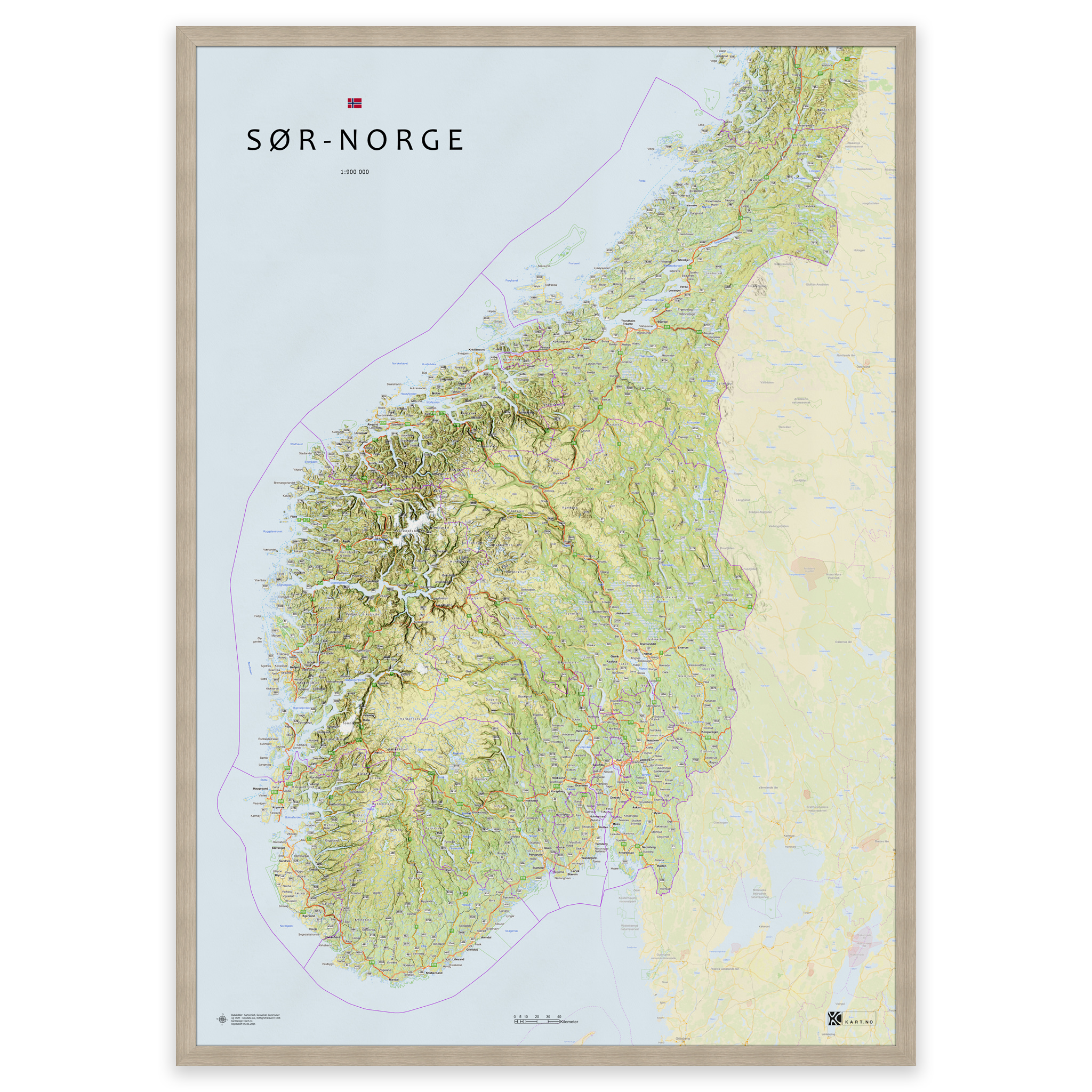
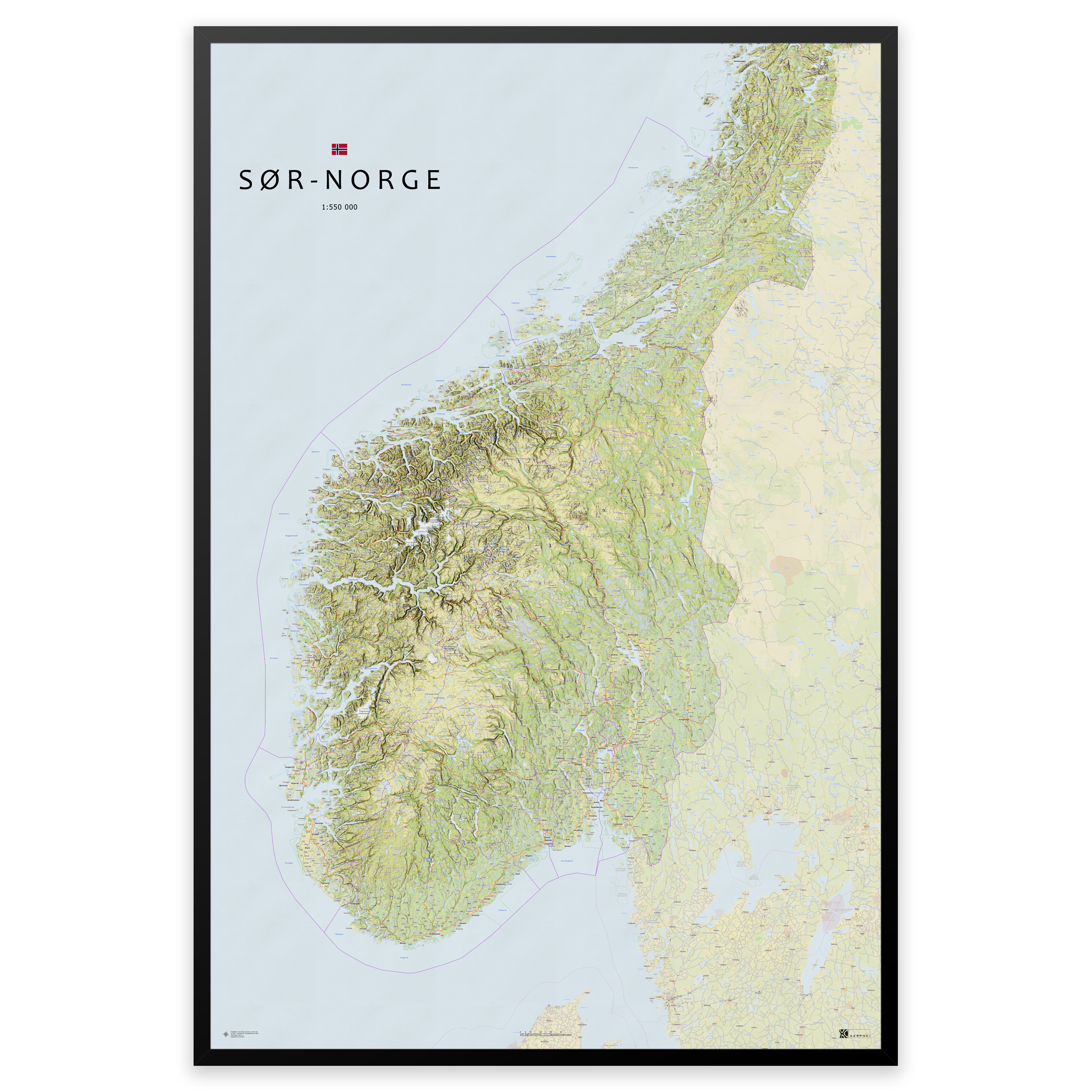
 Map of southern Norway – from Agder to Trøndelag
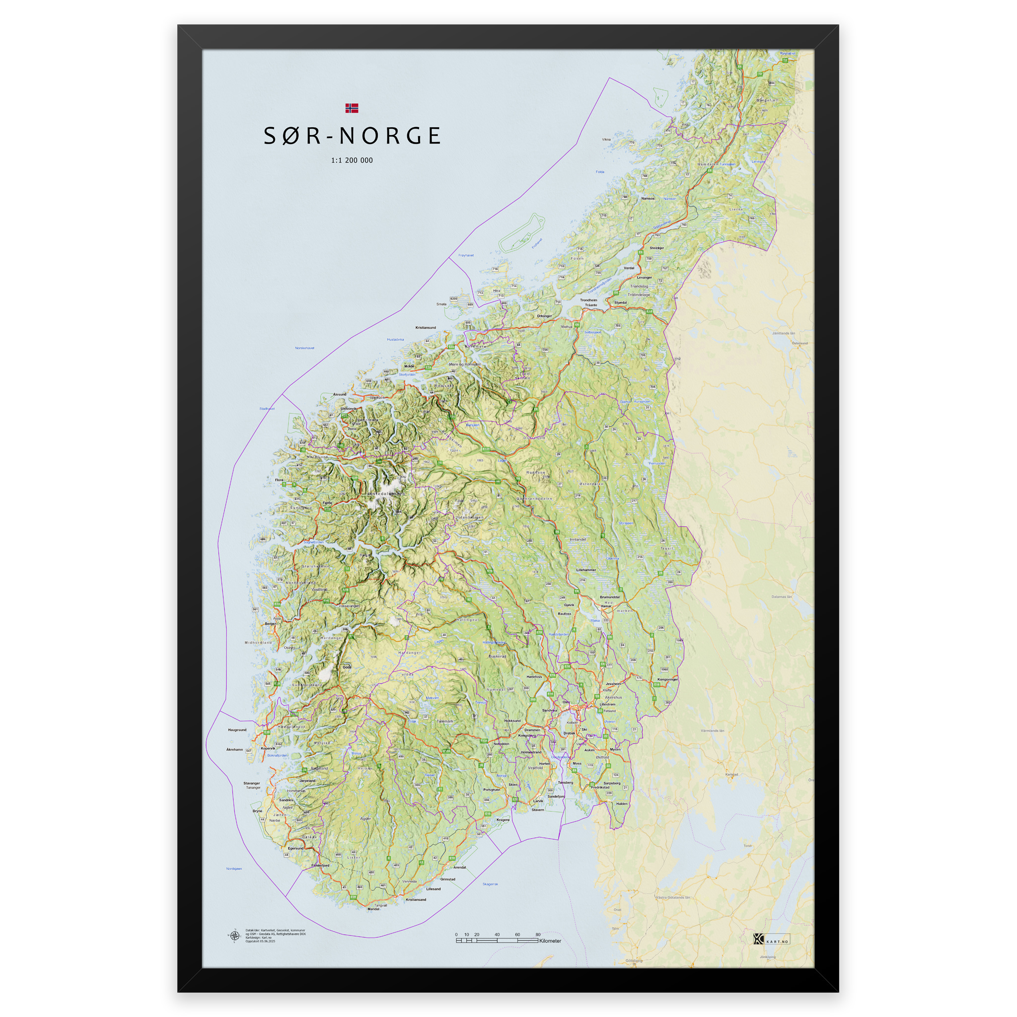
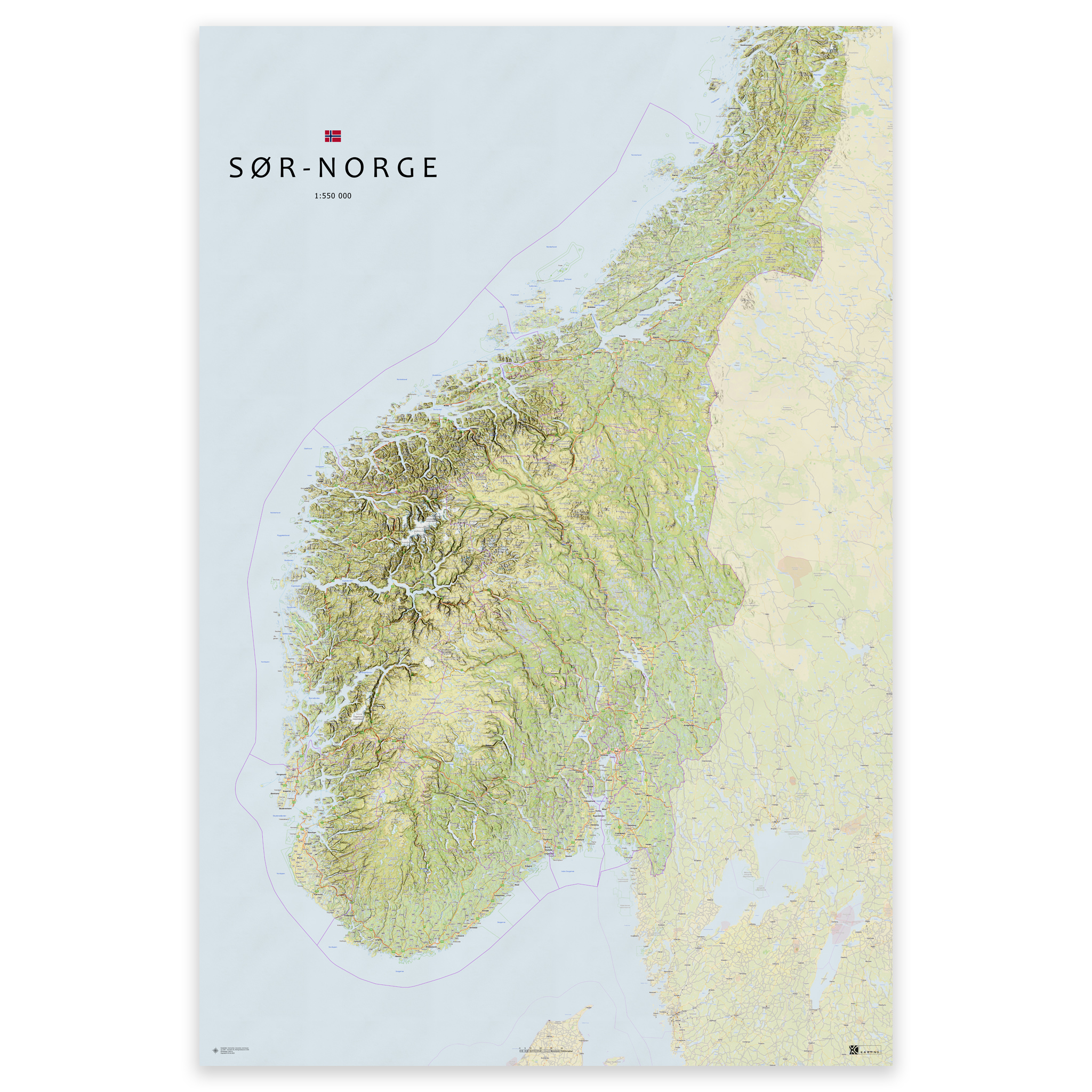
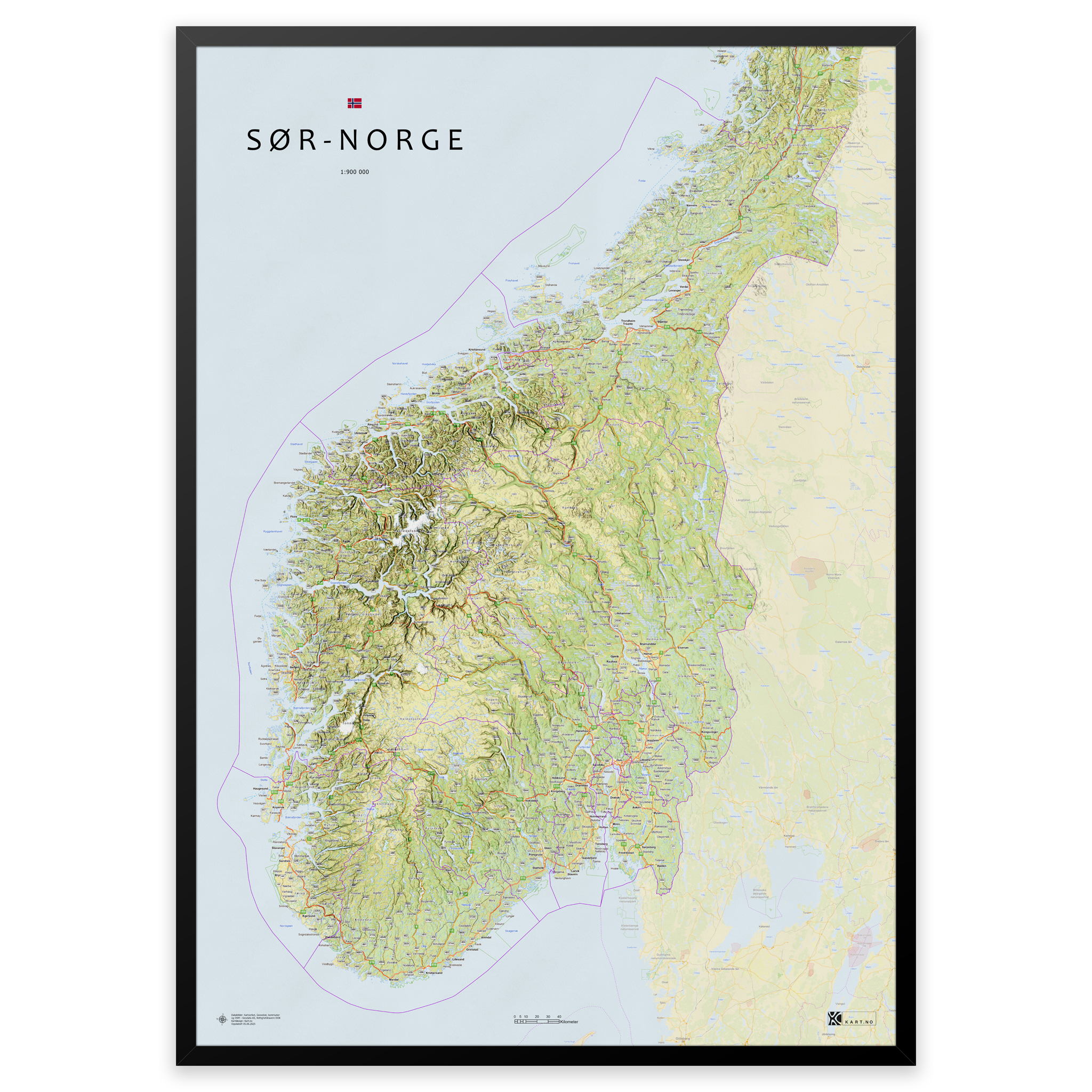
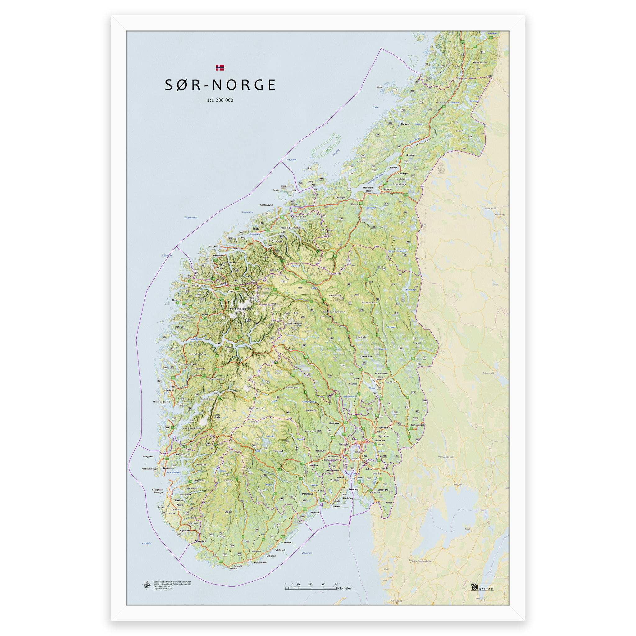
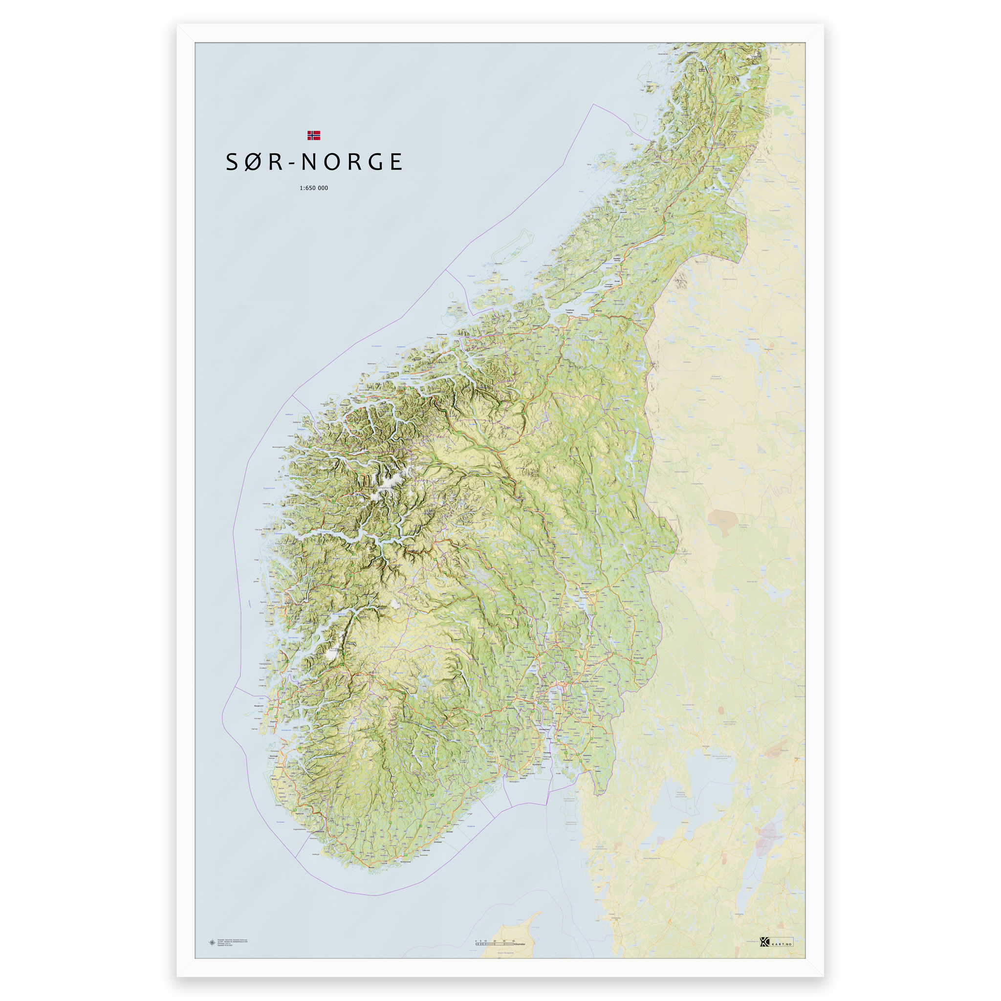

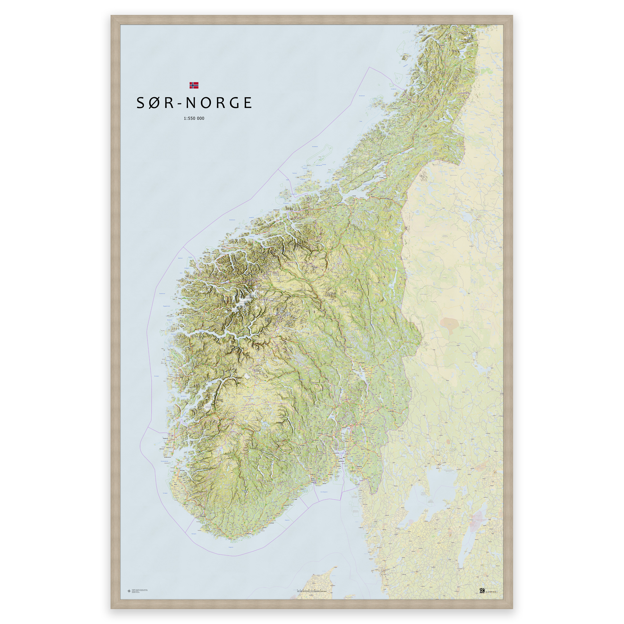
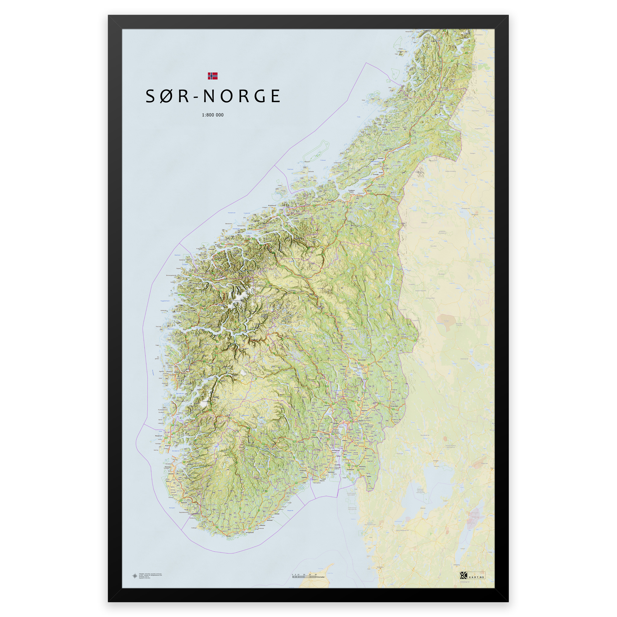


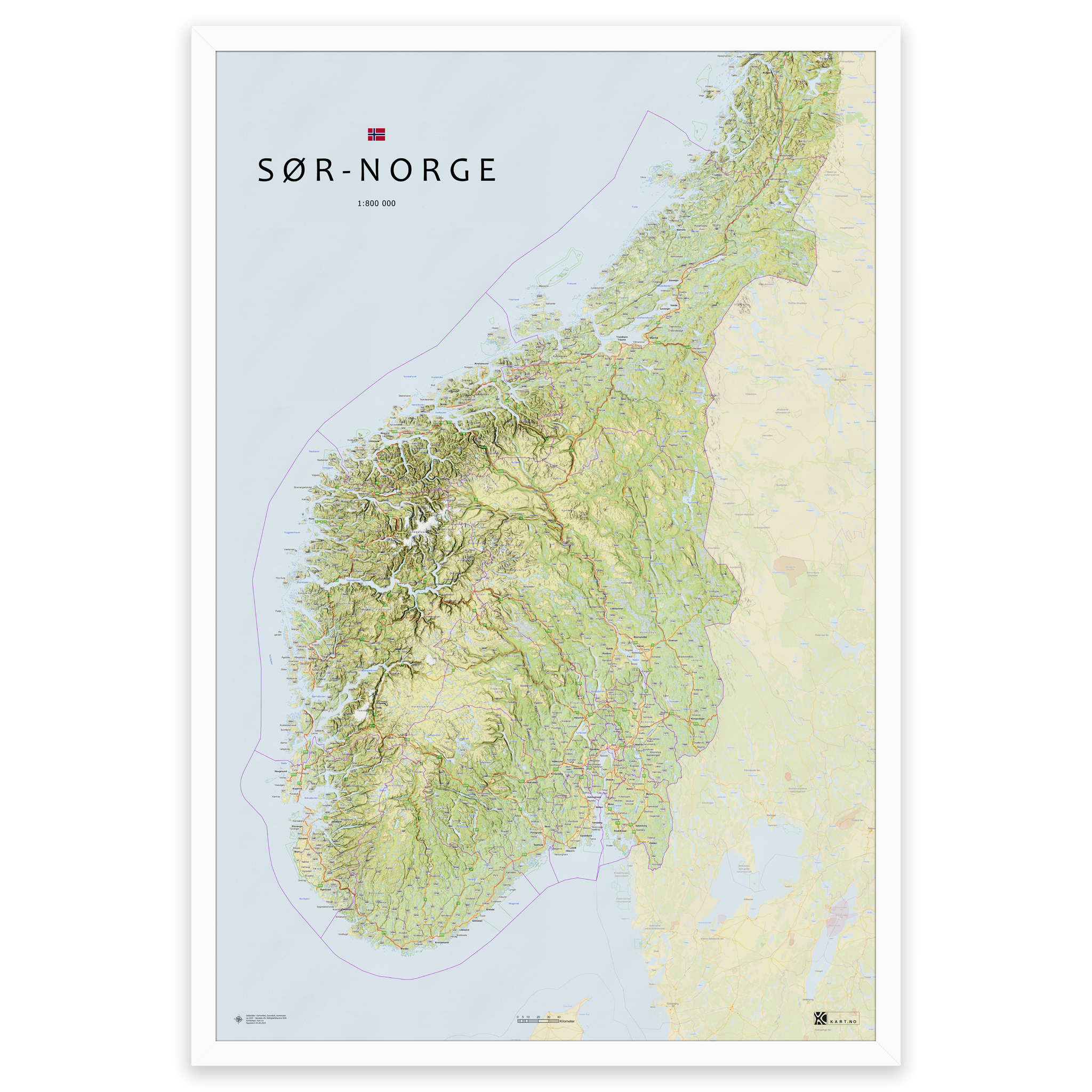


Map of southern Norway – from Agder to Trøndelag
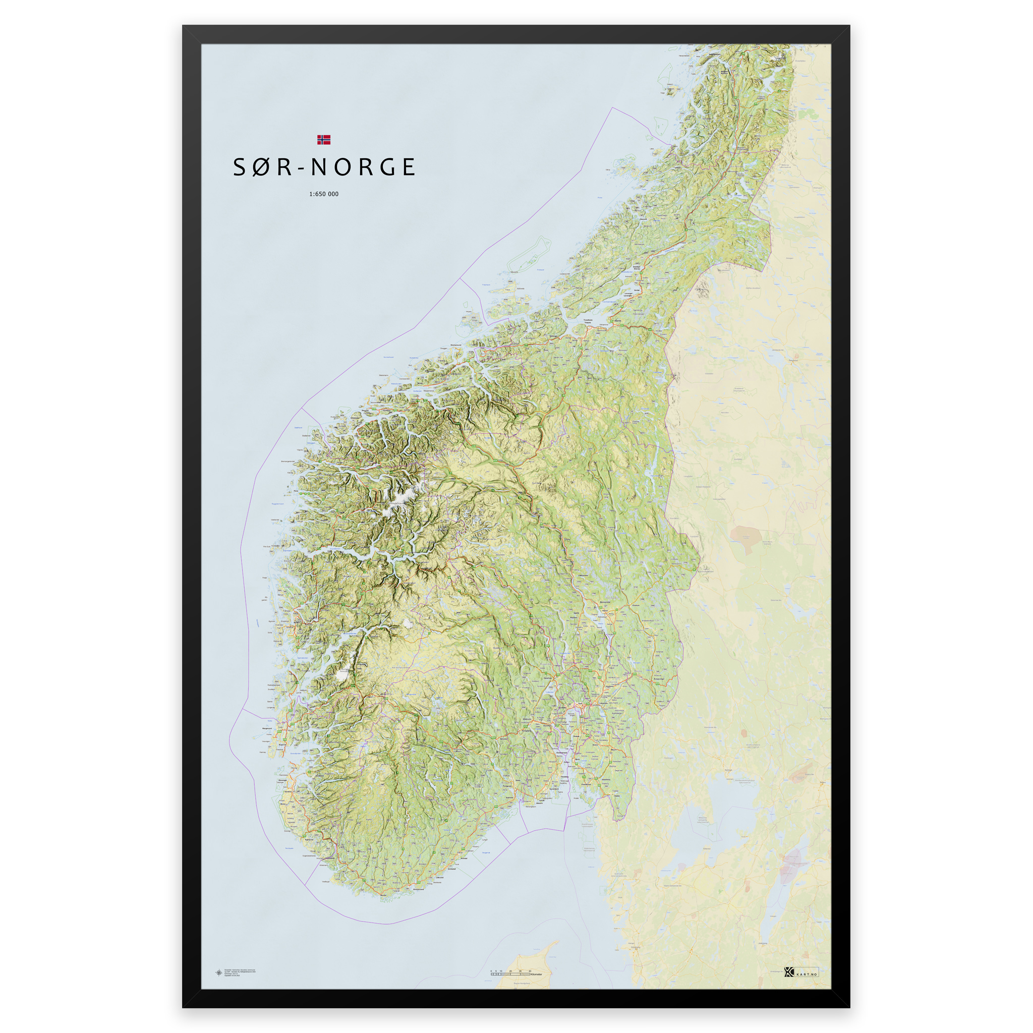
Stylish and detailed map of southern Norway – available in five sizes.
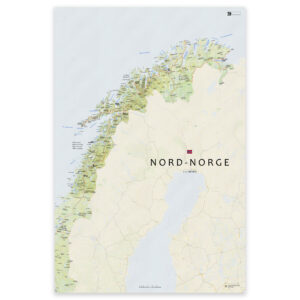
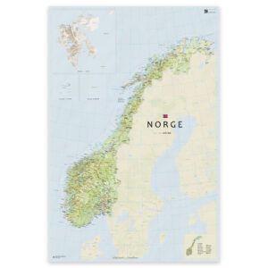
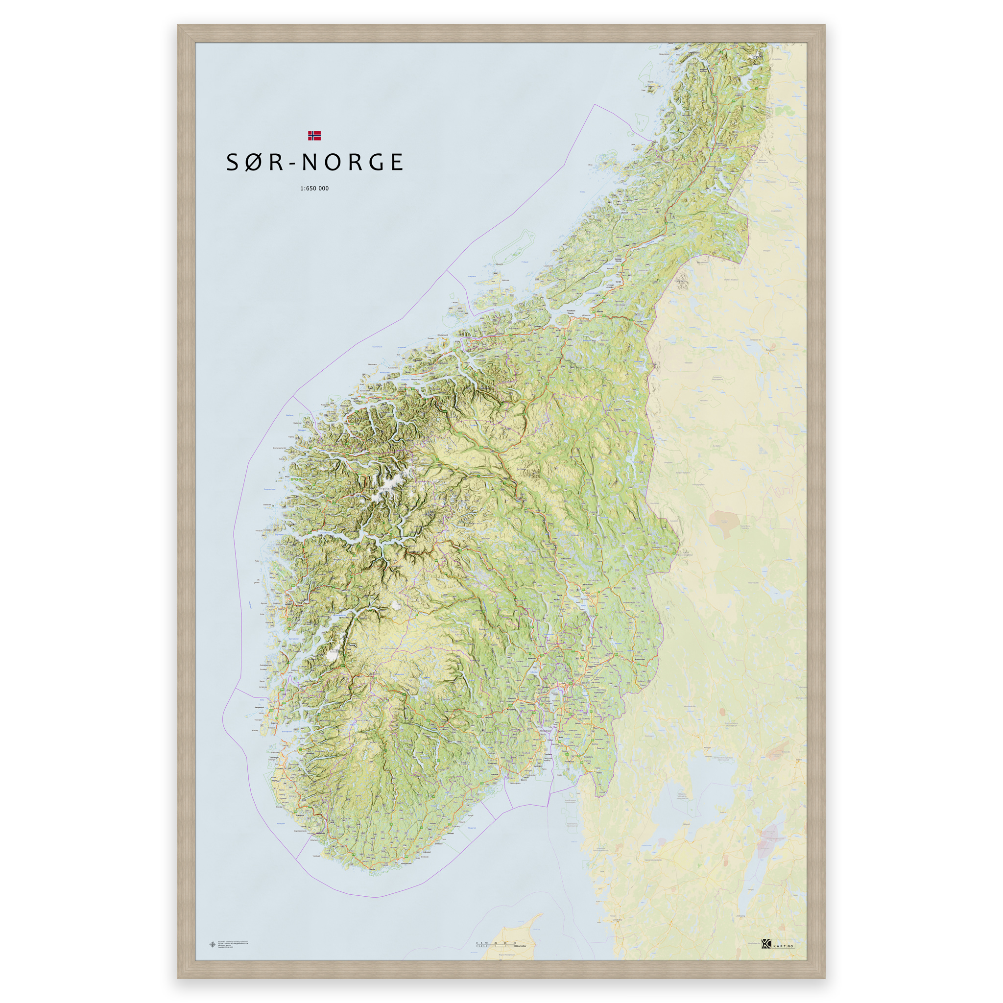
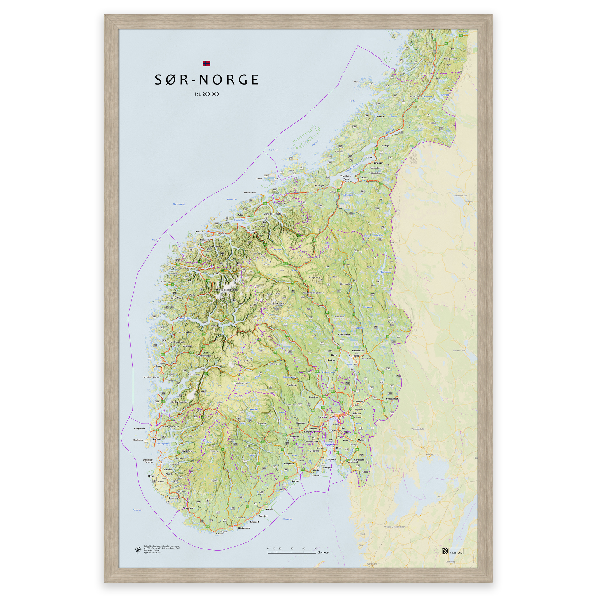
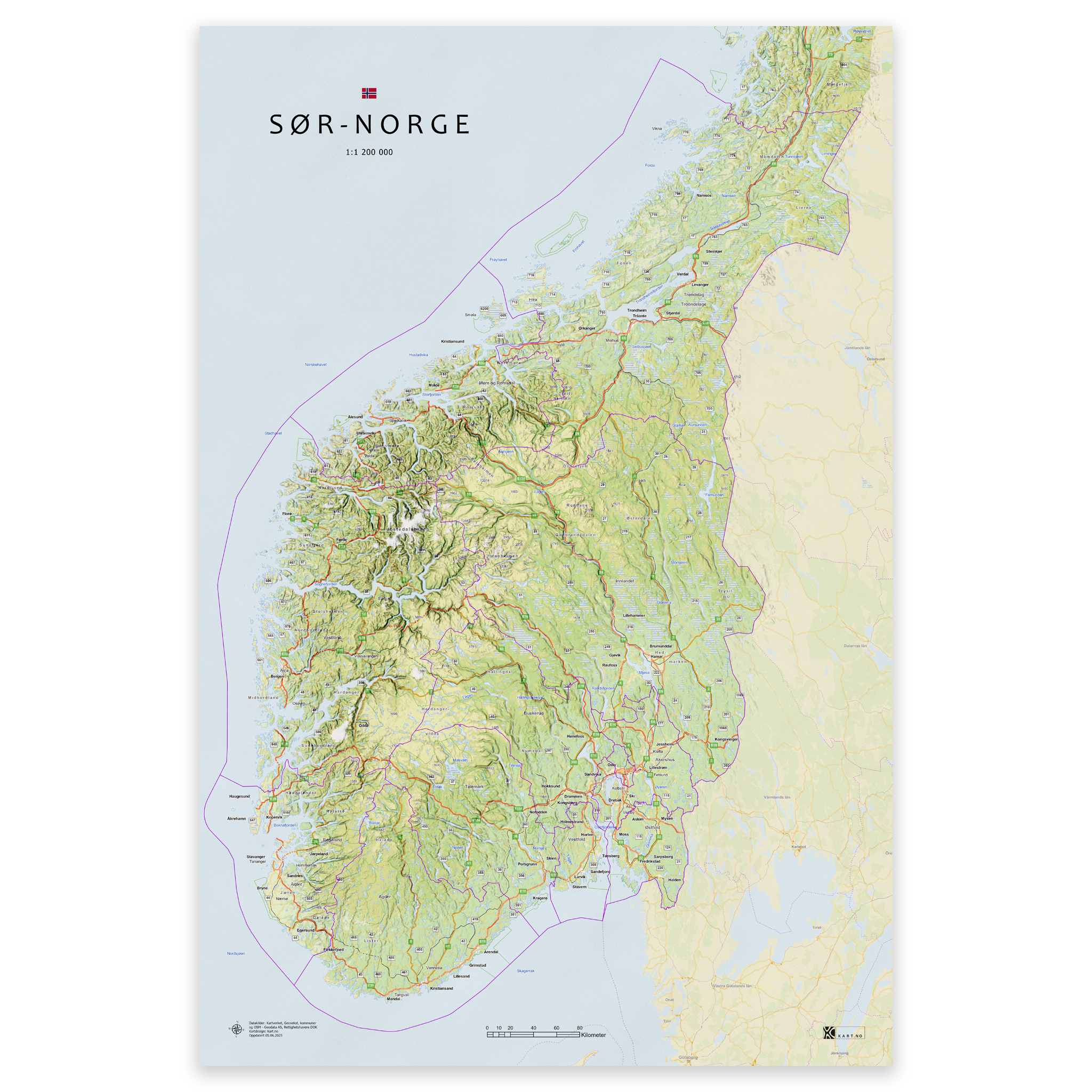
The map covers the whole of southern Norway, from Agder up to and including Trøndelag, and includes all municipalities and counties in the area. The map is made to order and is always updated with current municipal and county boundaries. The topographical terrain shadows give a clear and lifelike three-dimensional effect.
The colors are taken from classic Norwegian cartography, and the map is produced with 12-color pigment ink that provides high detail, deep hues and longevity – up to 400 years.
Order as a poster, map on plate or framed print on art paper – perfect for the living room, office or classroom.
Select the desired size and use the zoom function (magnifying glass) to see scale and detail.
From 0,00 €