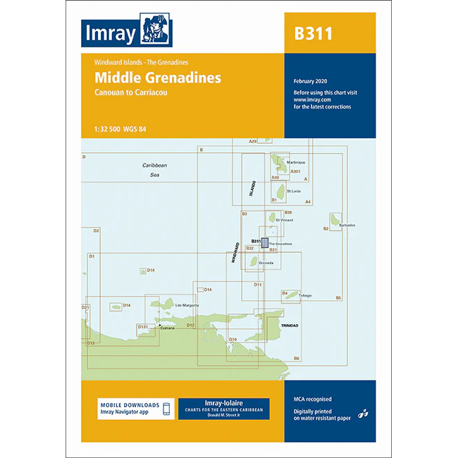
Description
This boating map covers the Middle Grenadines in the Windward Islands, with the sailing area between Canouan in the north and Carriacou in the south. The chart provides detailed plans for archipelagos, straits and anchorages in one of the Caribbean’s most popular areas for island hopping and cruising.
The map includes detailed chart sections for Canouan, Mayreau, Union Island, Palm Island, Petit St. Vincent and surrounding waters. The area is known for short sailing distances, well-protected anchorages and stable trade winds, making the chart very suitable for leisure boats and sailboats sailing locally in the Grenadines.
Imray is a recognized British chart manufacturer with extensive experience in nautical cartography for leisure and long-distance sailing. Their charts have been developed with a focus on high readability, practical navigation and clear presentation of navigation-relevant information, especially adapted to tropical sailing areas.