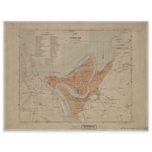
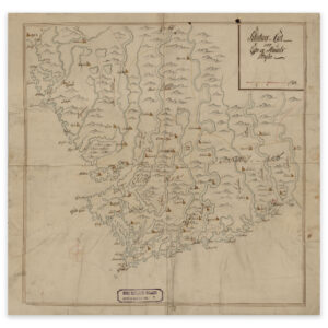
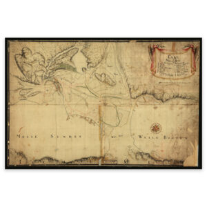

 Møre and Romsdal 1944


Møre and Romsdal 1944
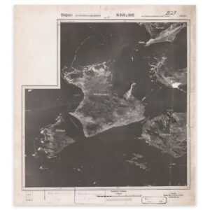
This is an aerial photo from 1944 of parts of Herøy municipality in Møre og Romsdal. It shows Fosnavåg, Skorpa, Nerlandsøya and parts of Runde. The map is delivered in original size 49.7 x 54.8 cm. The size with frame and passe-partout is 67.7 x 73.8 cm. Would you like the map in a different size? Just get in touch – we’ll be happy to give you a quote for customization.