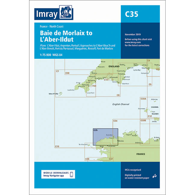
Description
This boating map covers the northern part of the Brittany coast from Baie de Morlaix in the east to L’Aber-Ildut in the west. The map includes detailed plans and approaches to key ports and areas such as L’Aber-Ildut, L’Aber-Wrac’h, Portsall, Le Conquet, Ouessant, Porspoder, Plouguerneau, Roscoff and Port de Morlaix.
The map is well suited for leisure boats and sailboats traveling along the north coast of Brittany, an area known for strong tidal currents, large tidal differences and complex archipelago conditions. The map provides a solid foundation for route planning and safe navigation in demanding waters.
Imray is a recognized British chart manufacturer with extensive experience in nautical cartography for leisure and long-distance sailing. The charts are developed with a focus on high readability, practical use and clear presentation of navigation-relevant information.