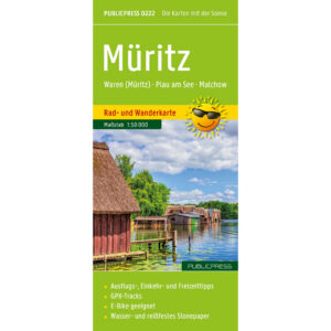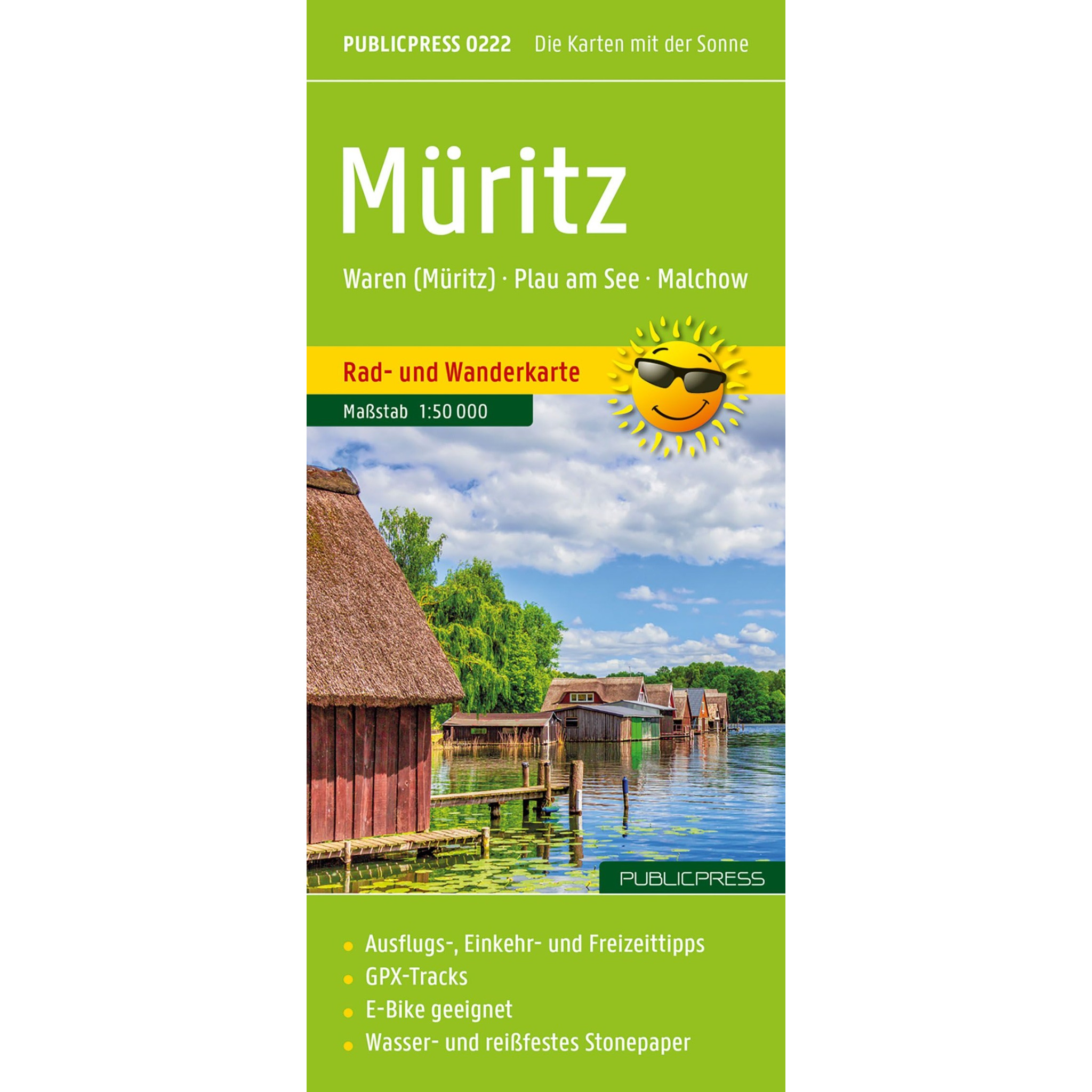
Description
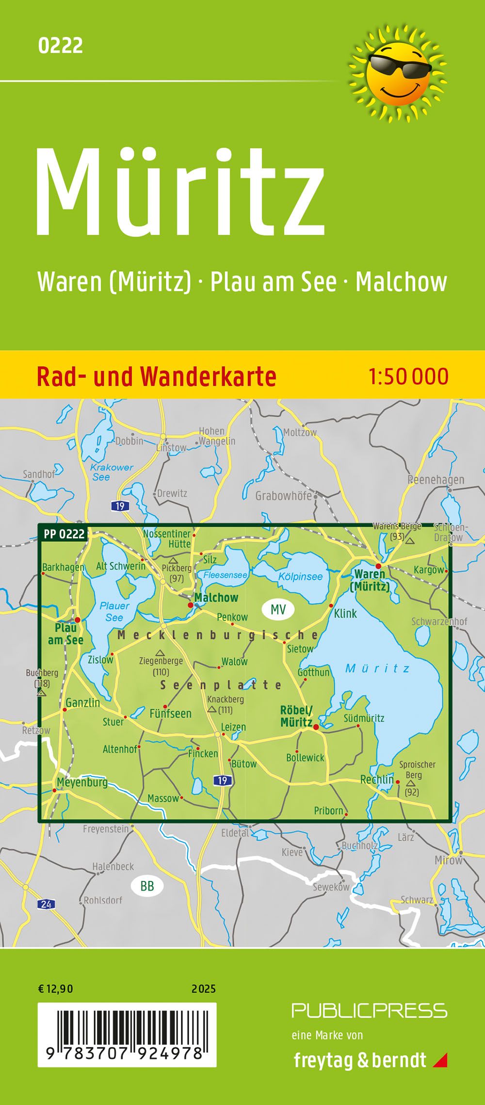
This detailed cycling and hiking map covers the Müritz region and parts of the Mecklenburg Lake Plateau and is designed for active outdoor adventures on foot and by bike. The map provides a clear and precise representation of both cycling routes and hiking trails, and is suitable for planning as well as use in the field.
The map shows a dense network of local and regional cycling routes, hiking trails and connections between towns, lakes and natural areas. Areas such as Waren (Müritz), Malchow and Plau am See are clearly covered and the map also includes parts of Müritz National Park. On the back of the map, important excursion destinations and sights are briefly described, providing useful additional information along the way.
The map is printed on a particularly durable material that makes it both water and tear resistant, making it suitable for use in all kinds of weather. GPX tracks can be downloaded and used on GPS devices or mobile phones, and the map is suitable for both regular bikes and electric bikes. Production is resource-efficient, with the use of stone-based materials that reduce the consumption of water, wood and energy.
The map is in German, but can easily be used by travelers with no knowledge of German. Road, cycling and hiking maps are mainly based on symbols, route markings and place names, providing quick and intuitive orientation regardless of language.
The product is released in 2025.