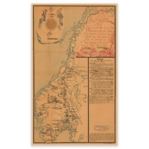
 Nesseby 1900


Nesseby 1900
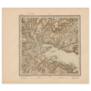
Map from 1900 of the inner parts of Varangerfjorden and Nesseby in Finnmark county. The map is made by Ole Tolstad and Carl Christian P. The original size of the map is 57.8 x 50.3 cm. The size with frame and passe-partout is 75.8 x 69.3 cm. Would you like the map in a different size? Just get in touch – we’ll be happy to give you a quote for customization.